Map of the Montréal métro initial network (1966)

Initial network, line 1 (green)
Stations: Atwater, Guy (Guy-Concordia), Peel, McGill, Place-des-Arts, Saint-Laurent, Beaudry, Papineau, Frontenac
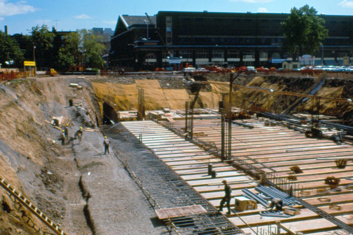
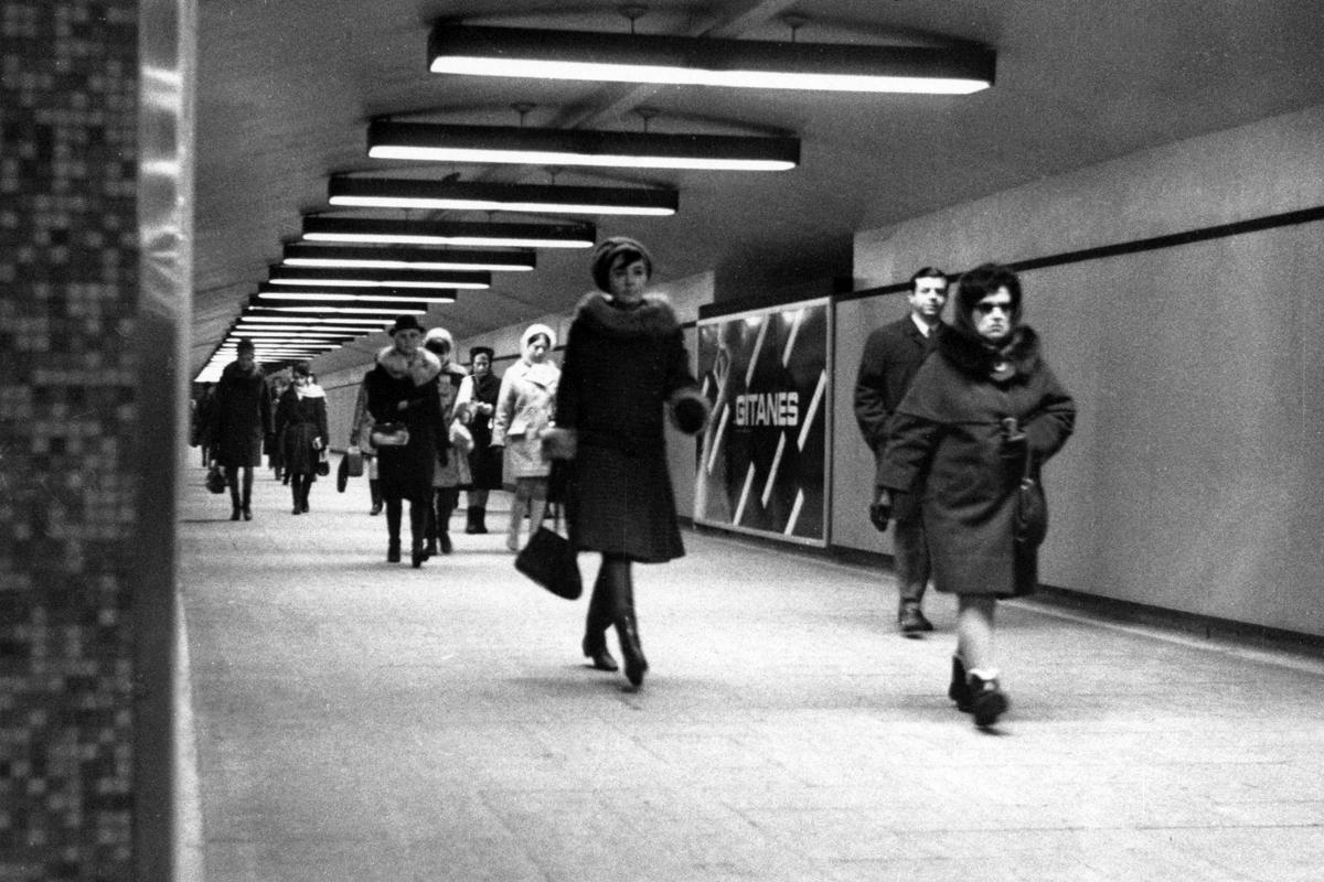
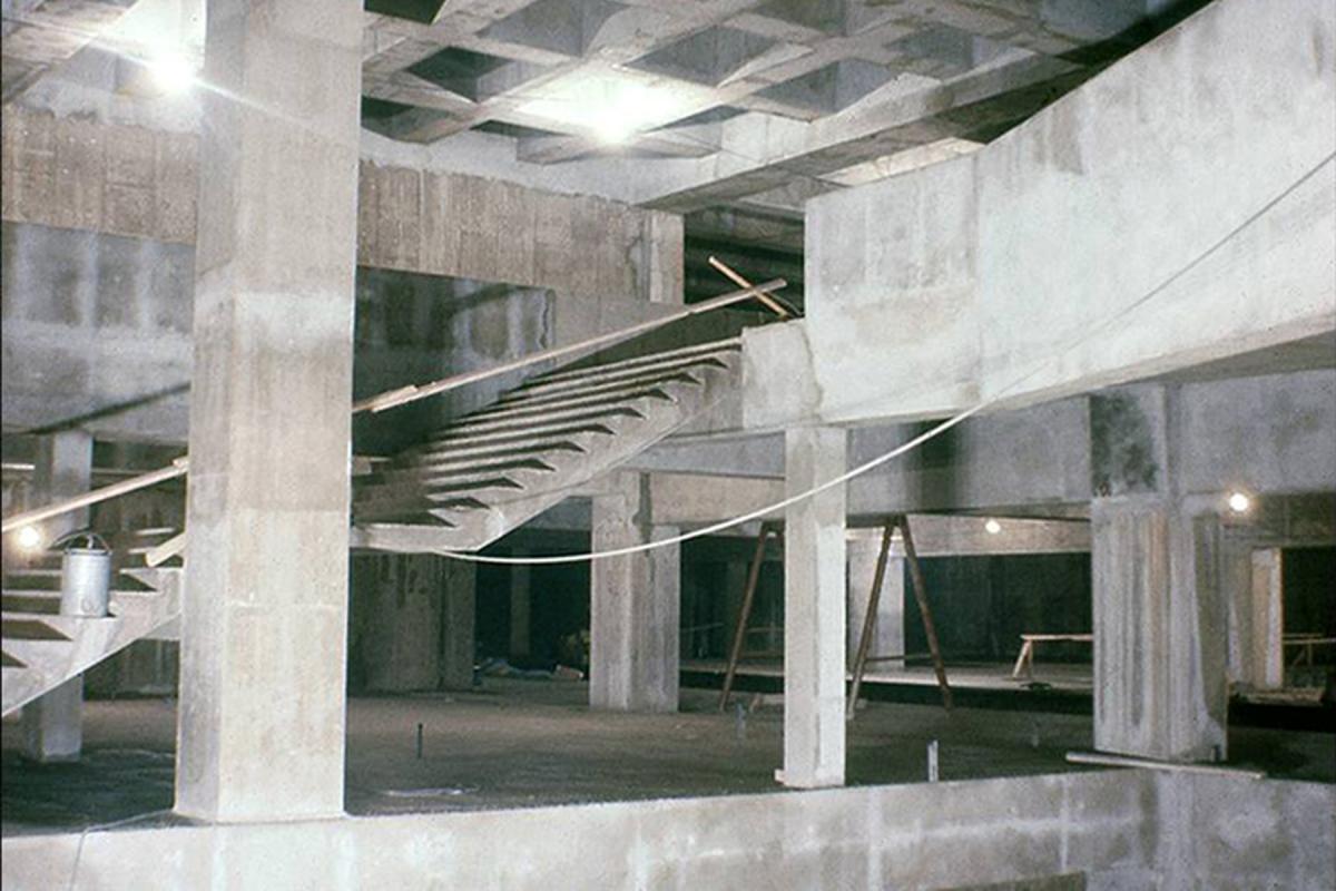
Station Atwater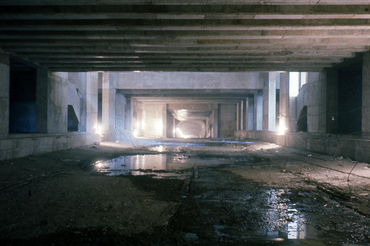
Station Atwater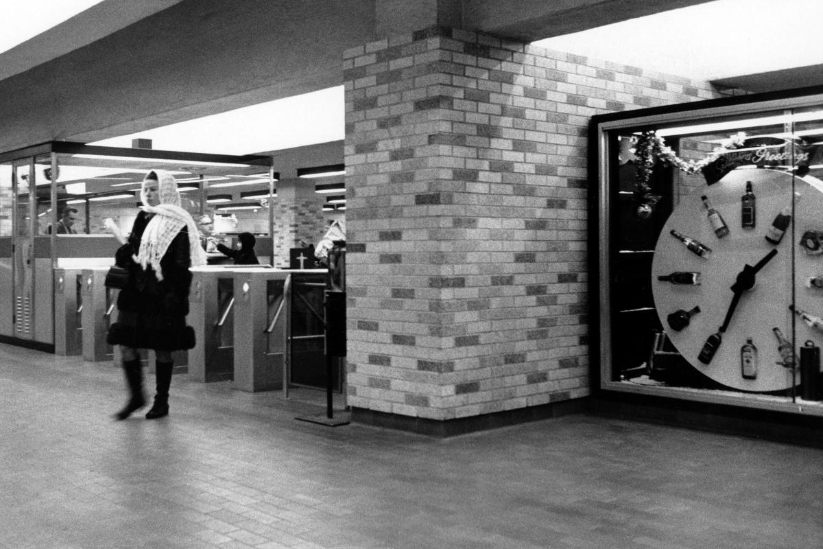
Station Atwater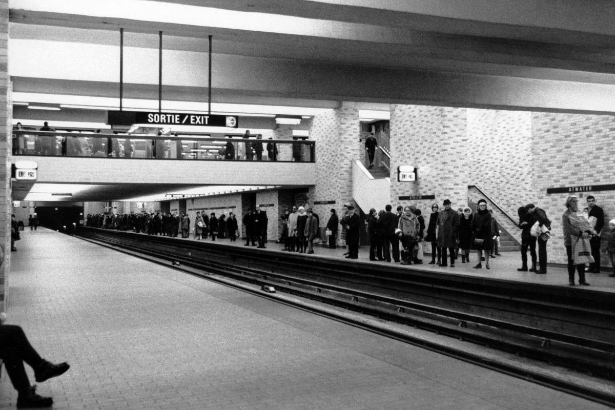
Station Atwater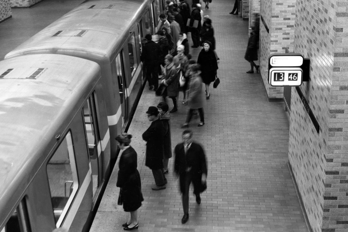
Station Atwater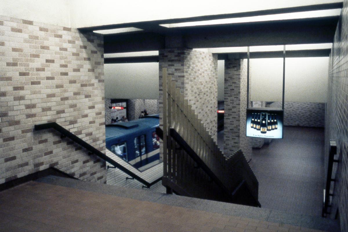
Station Atwater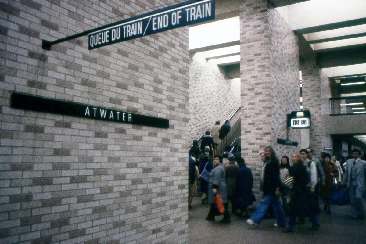
Station Atwater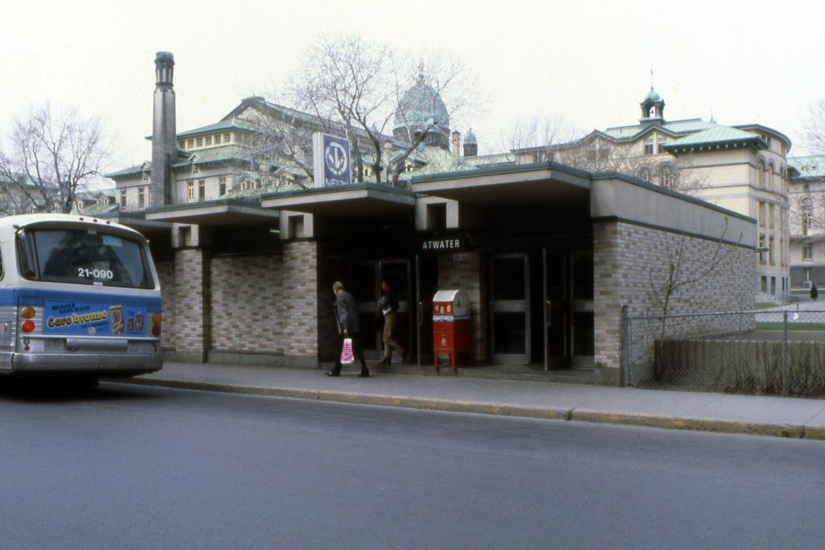
Station Atwater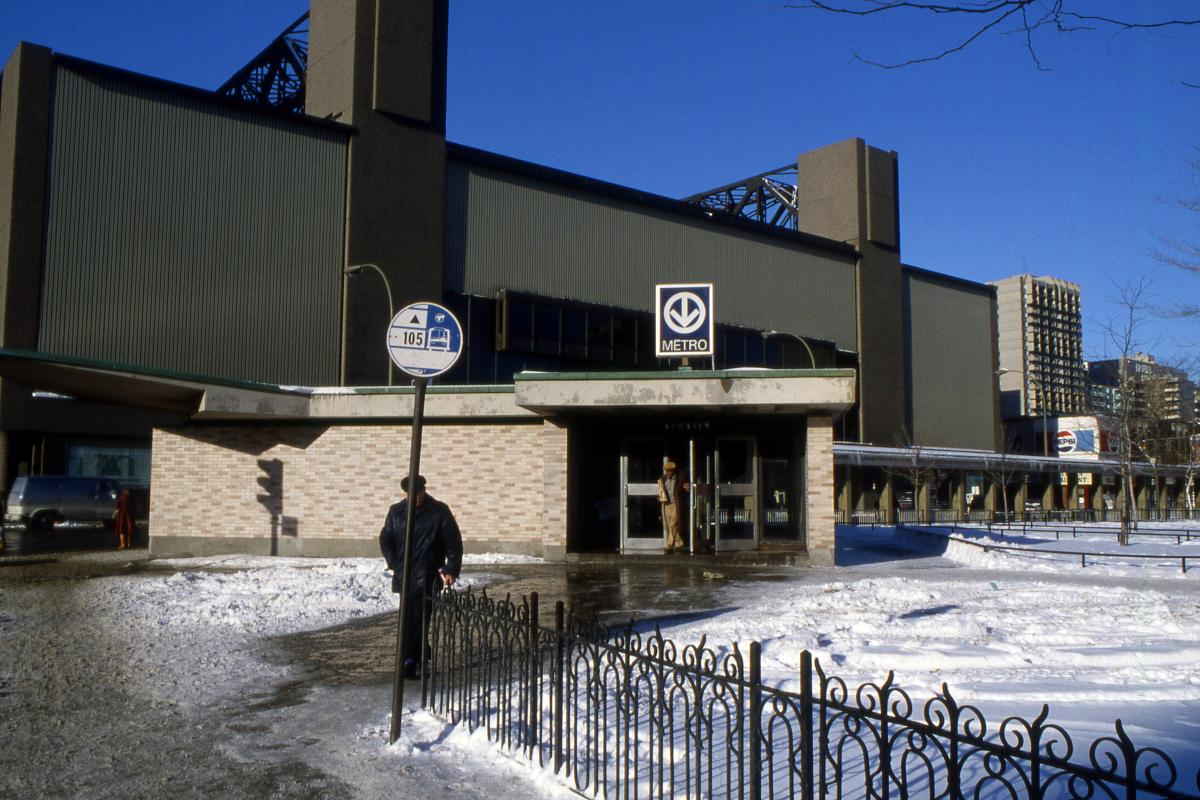
Station Atwater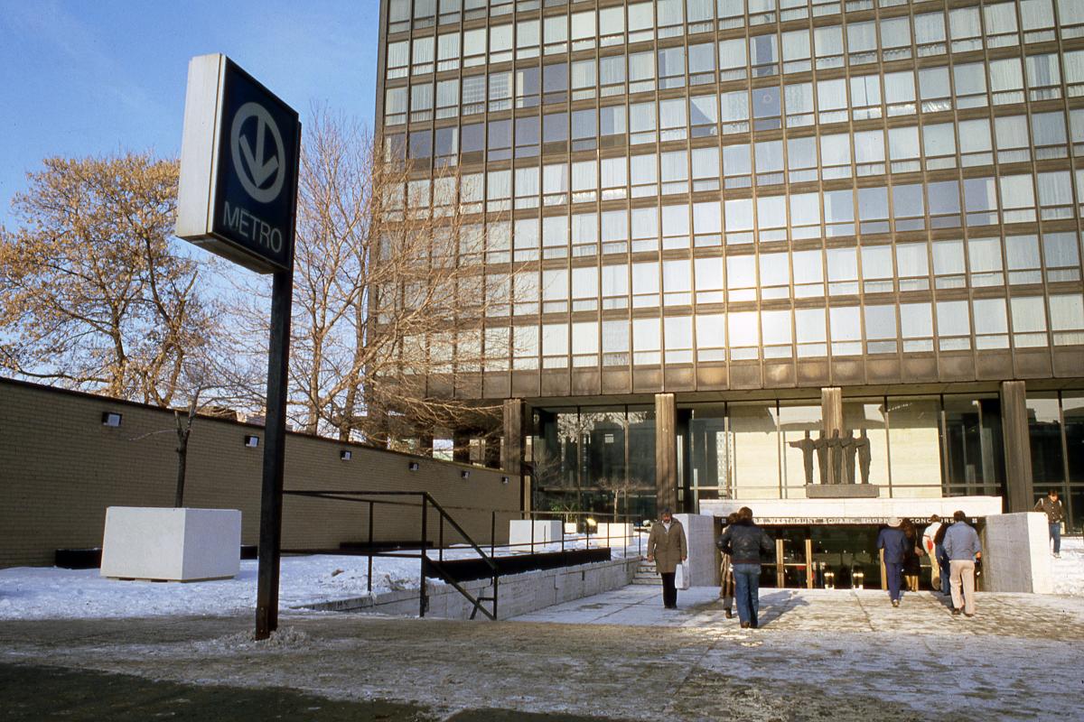
Station Atwater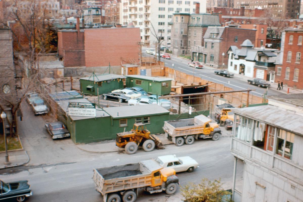
Station Guy (Guy-Concordia)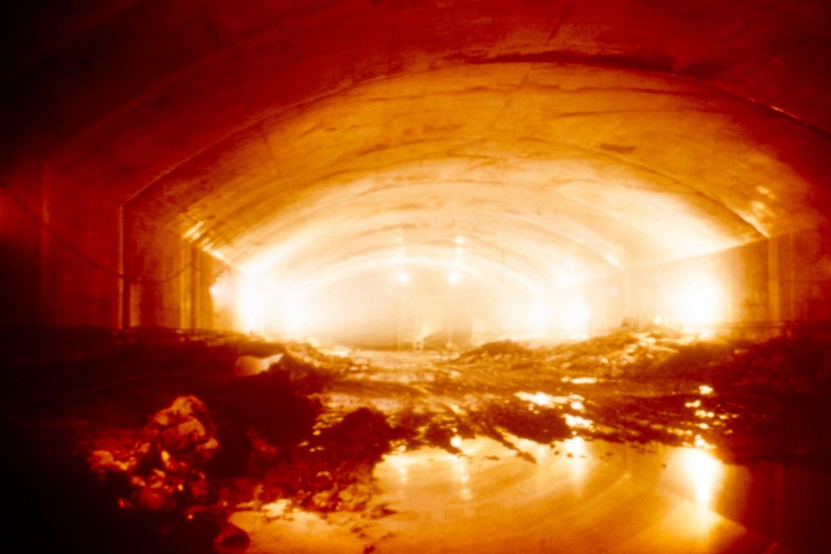
Station Guy (Guy-Concordia)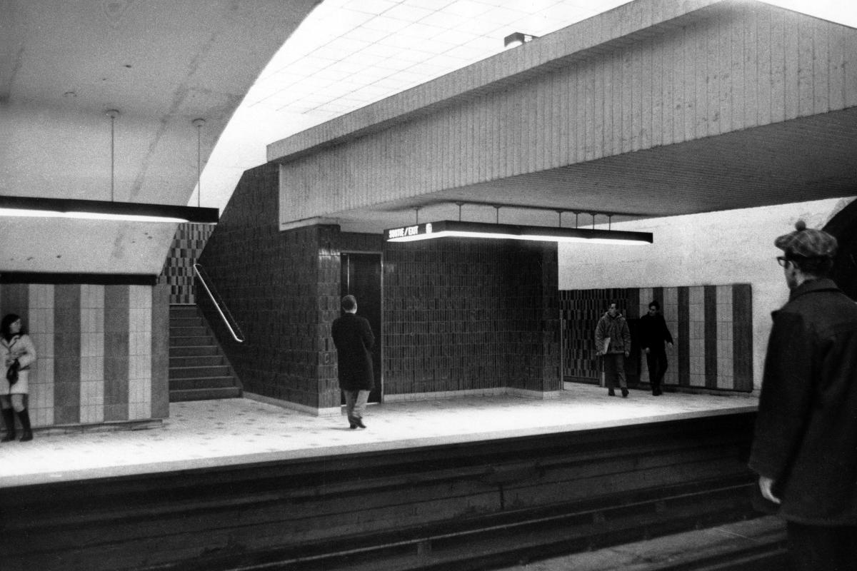
Station Guy (Guy-Concordia)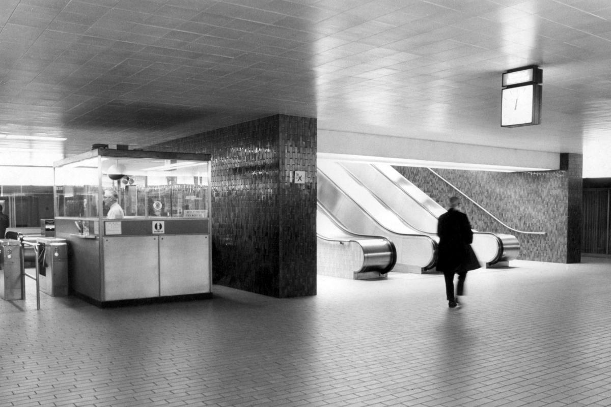
Station Guy (Guy-Concordia)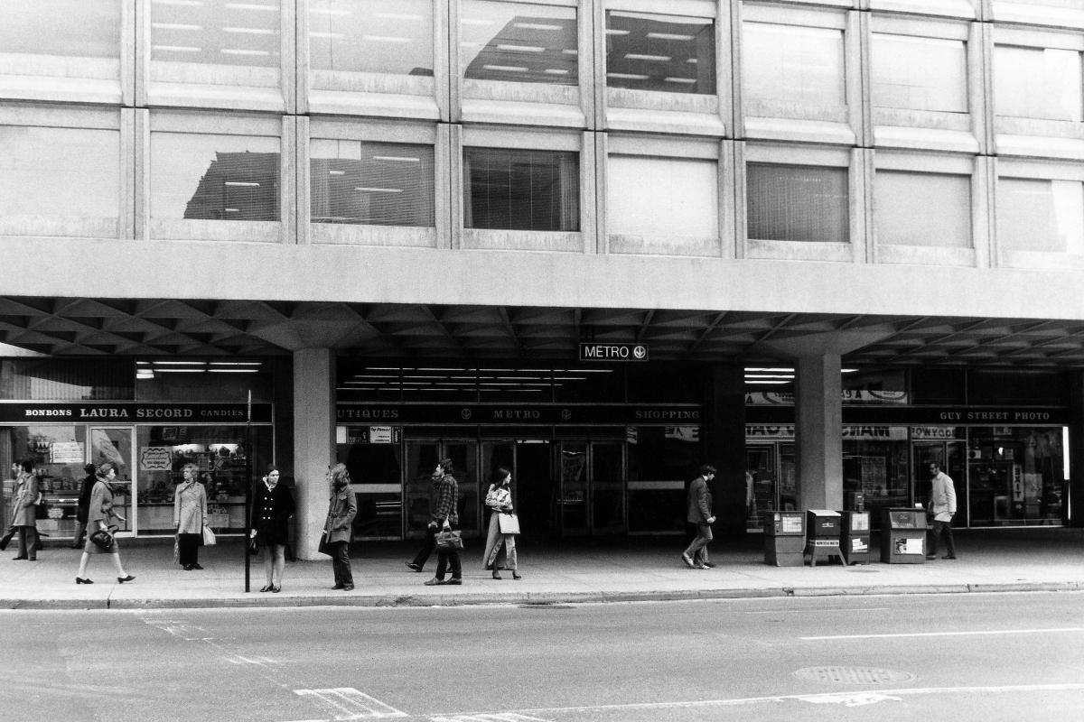
Station Guy (Guy-Concordia)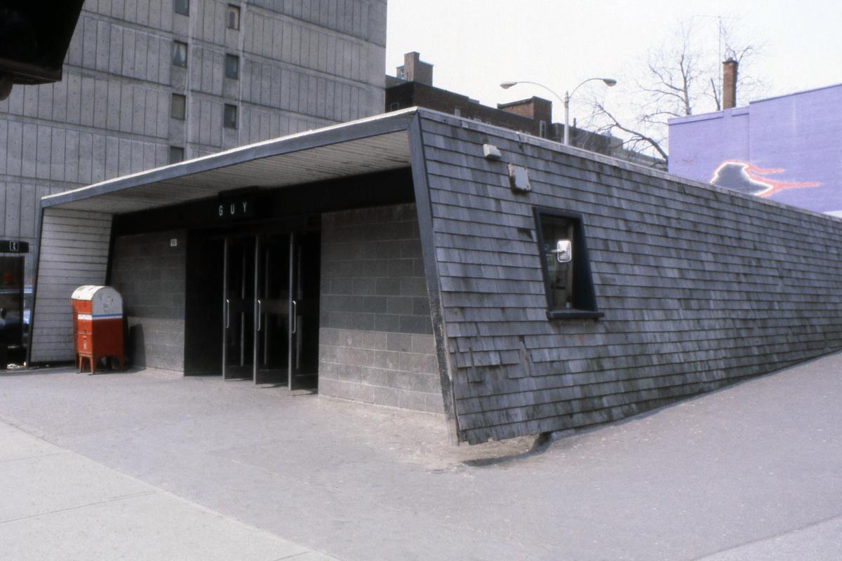
Station Guy (Guy-Concordia)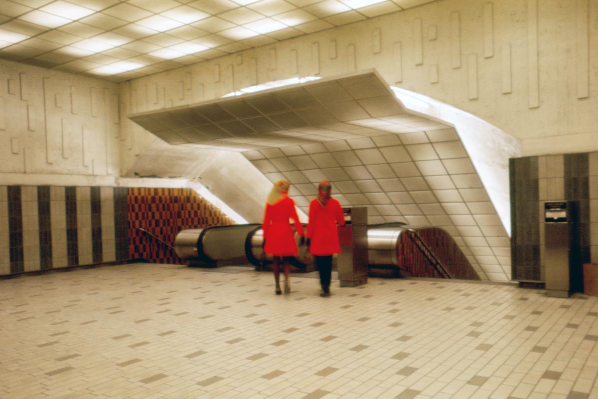
Station Guy (Guy-Concordia)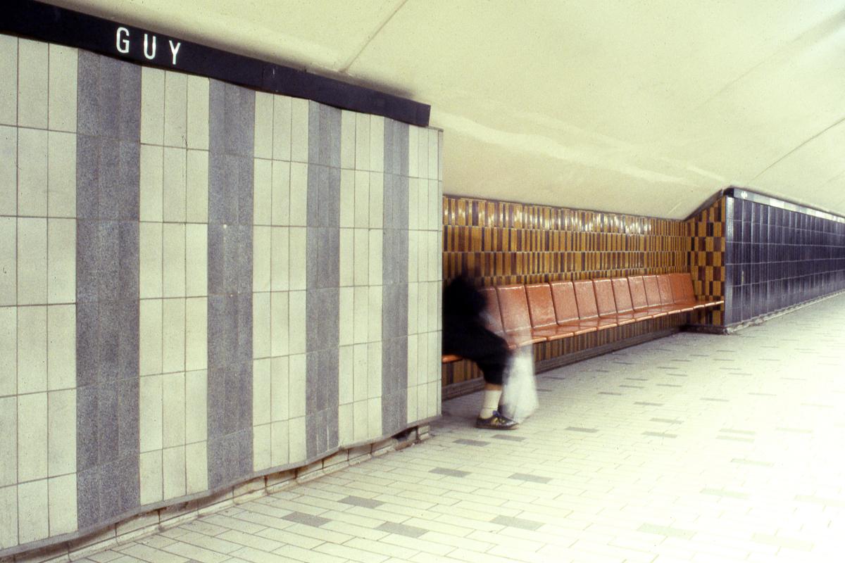
Station Guy (Guy-Concordia)
Station Peel
Station Peel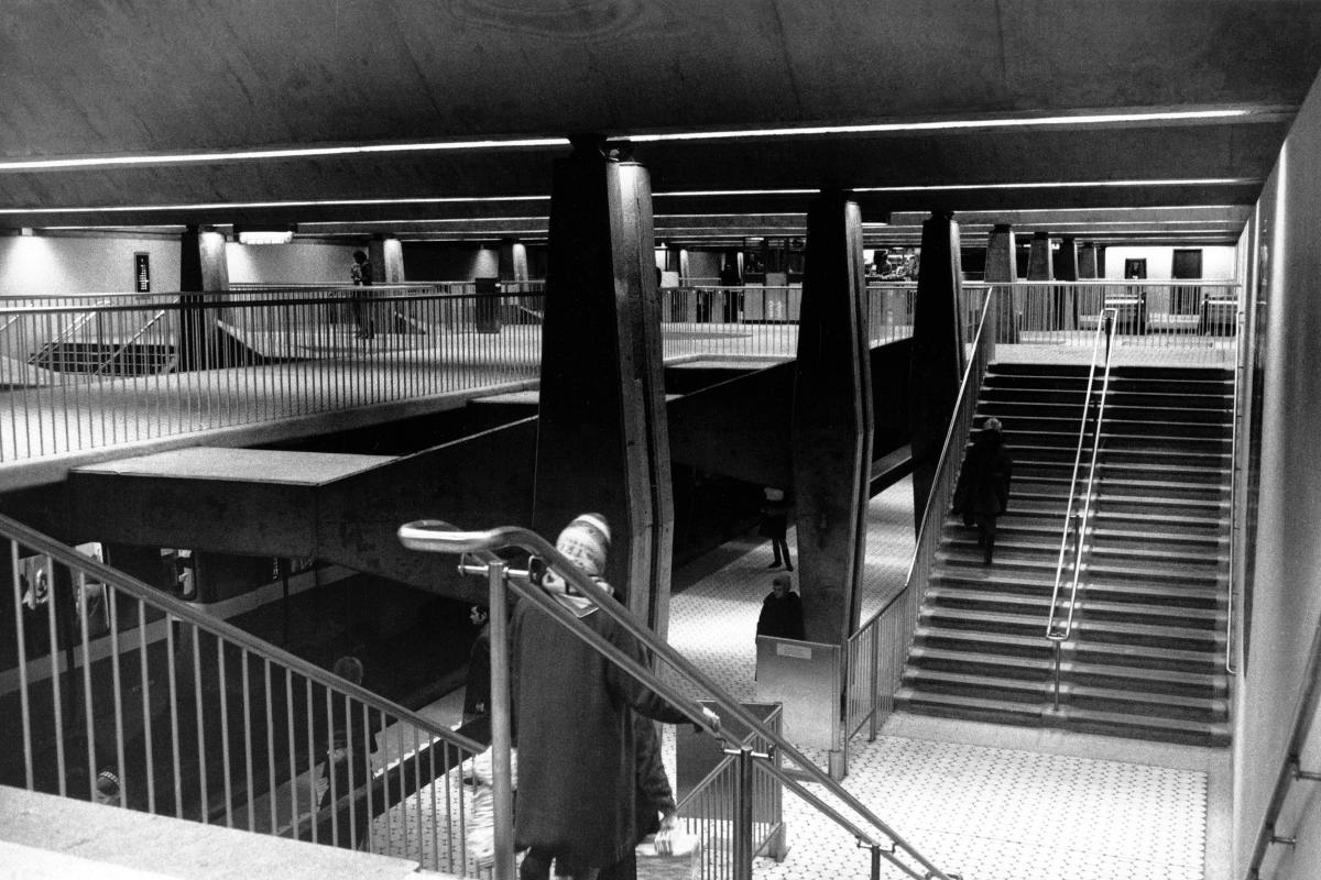
Station Peel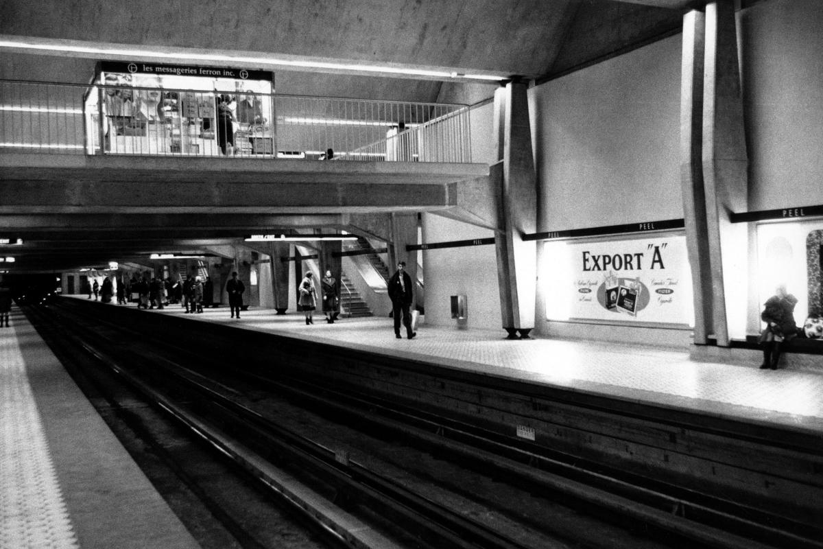
Station Peel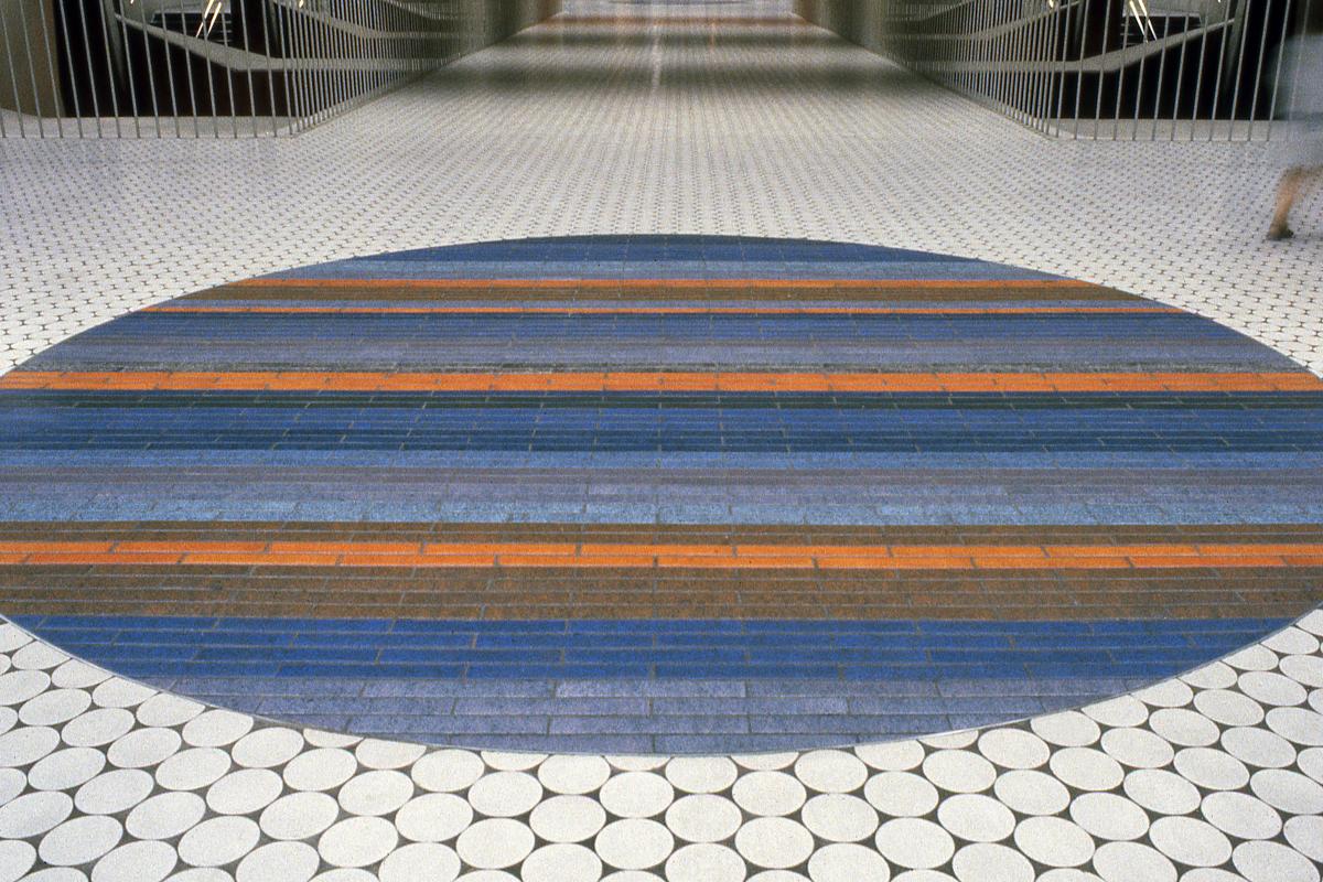
Station Peel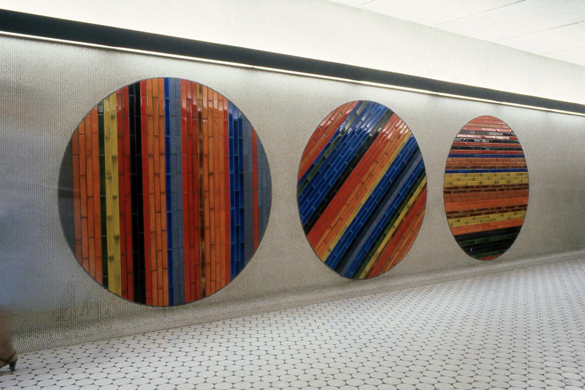
Station Peel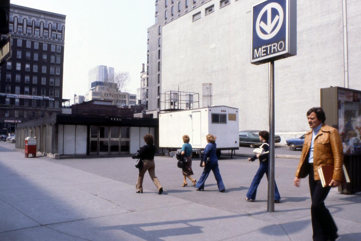
Station Peel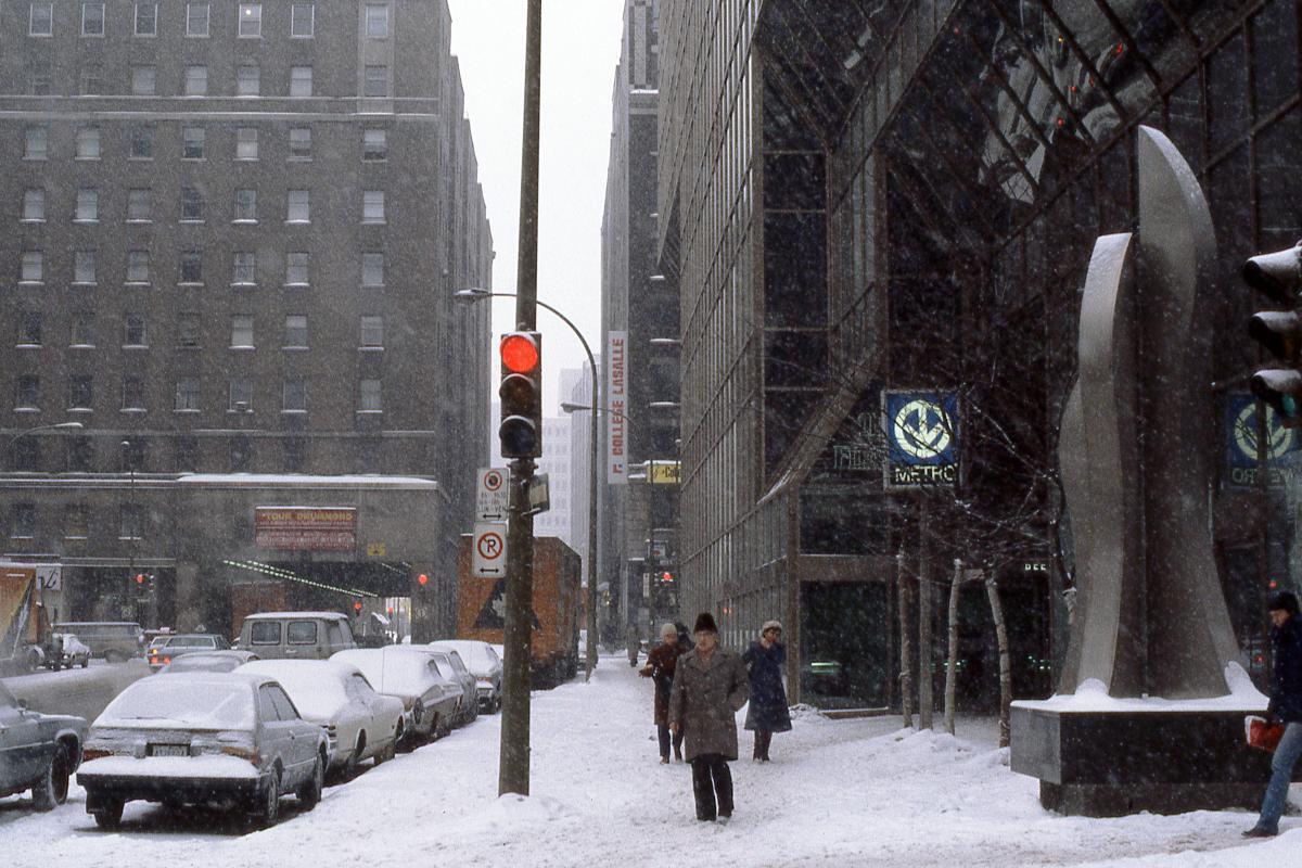
Station Peel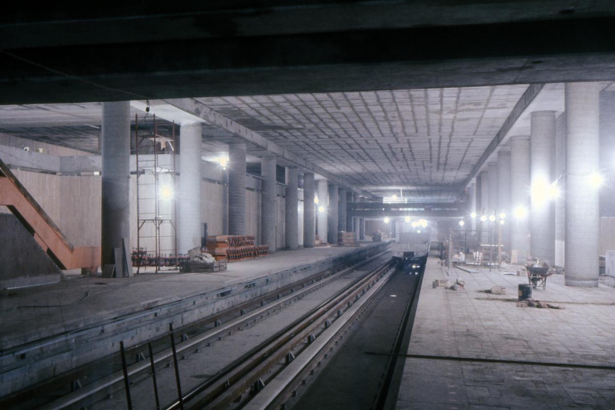
Station McGill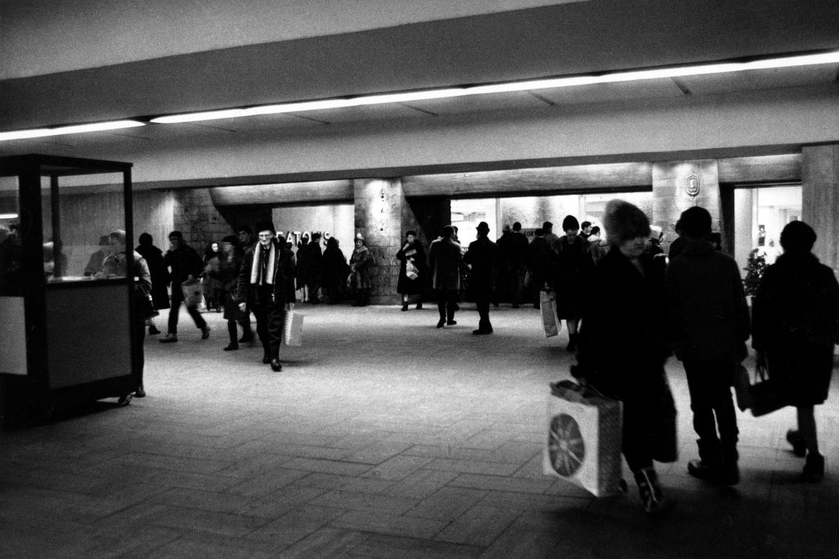
Station McGill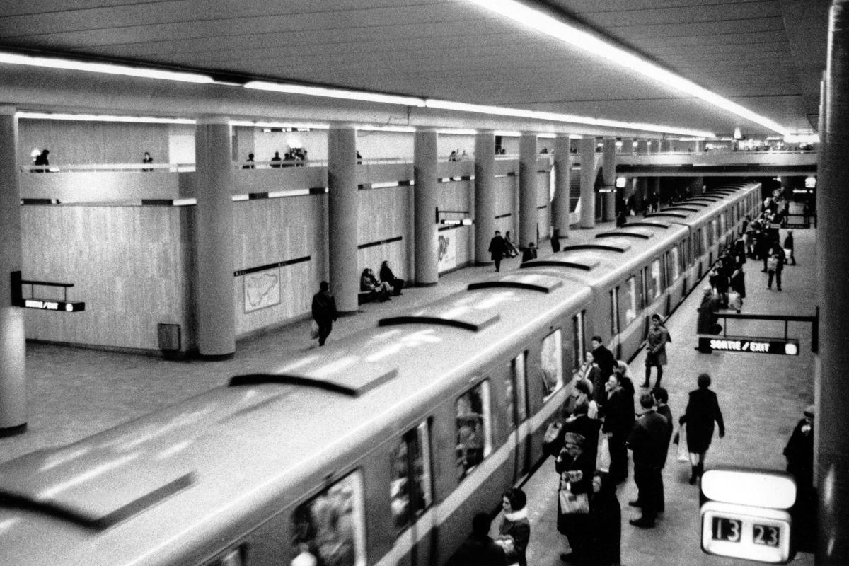
Station McGill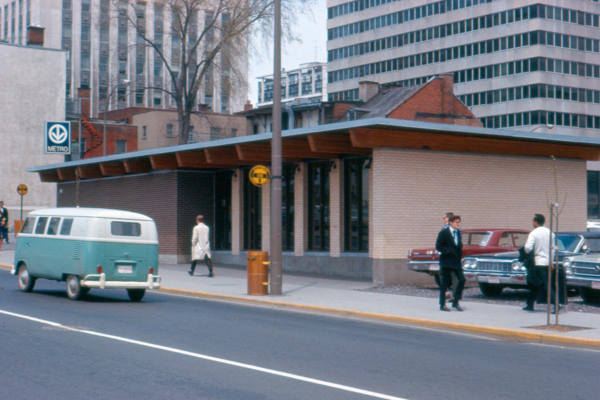
Station McGill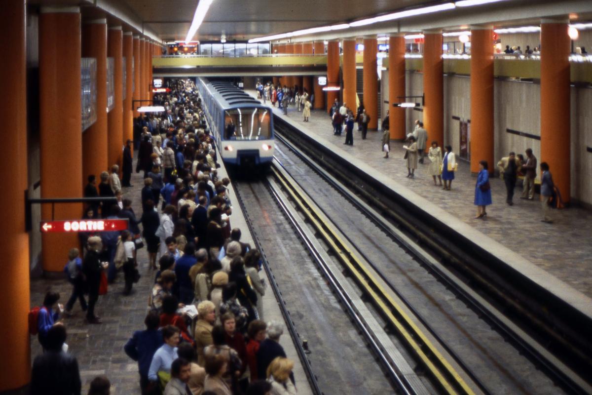
Station McGill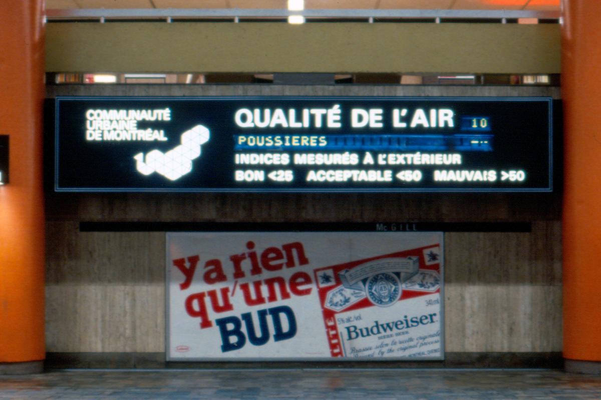
Station McGill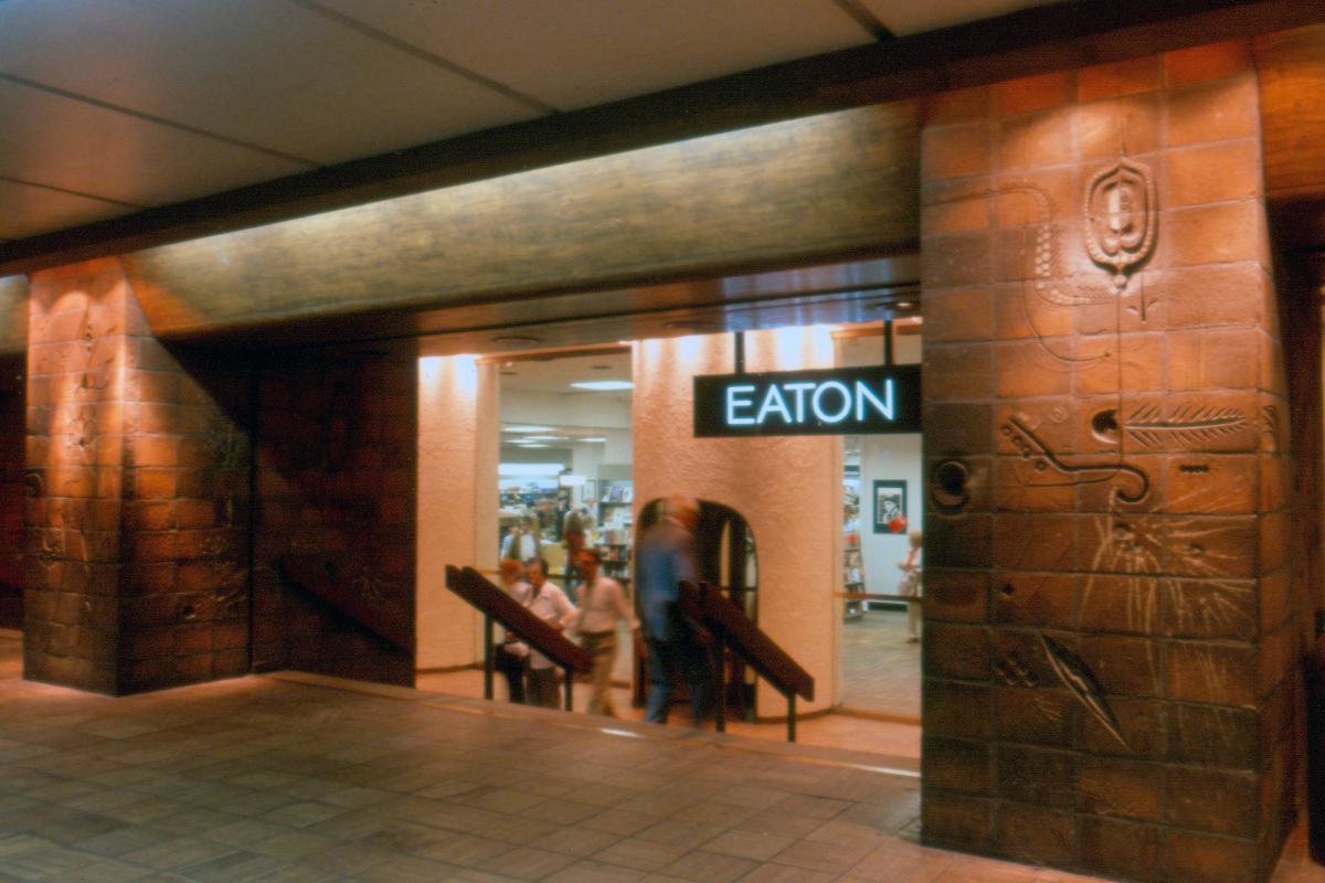
Station McGill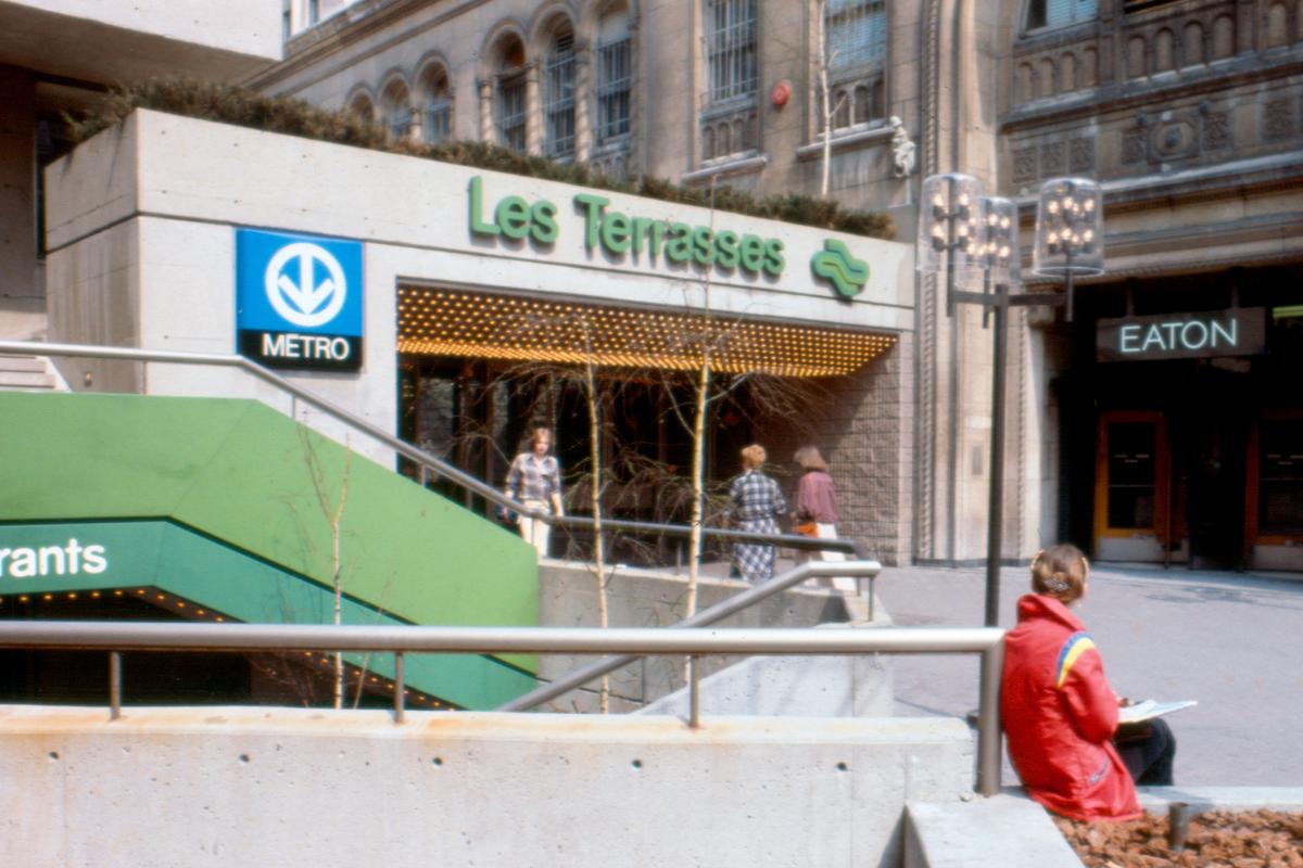
Station McGill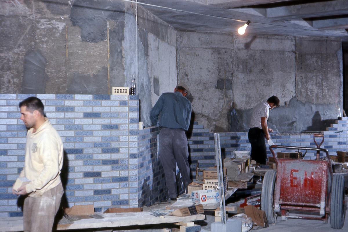
Station Place-des-Arts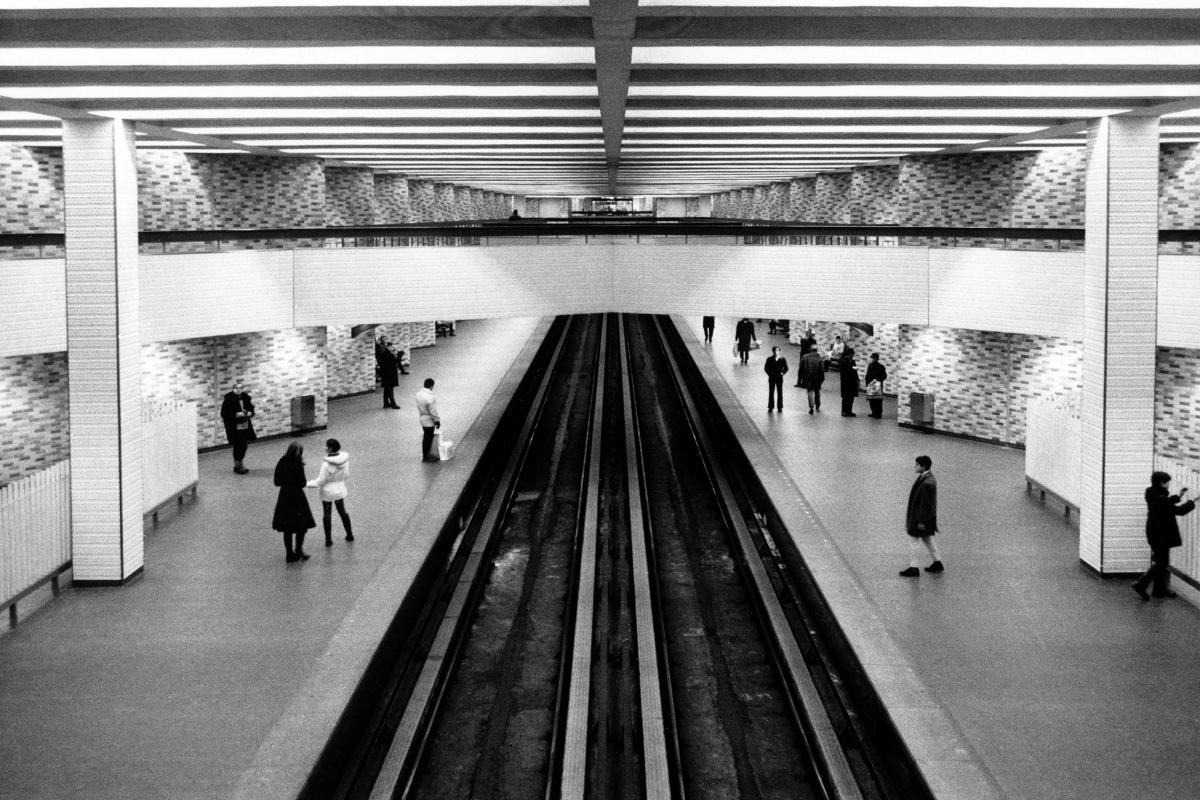
Station Place-des-Arts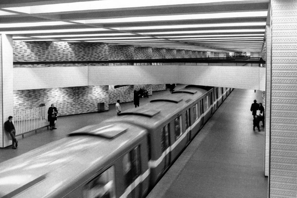
Station Place-des-Arts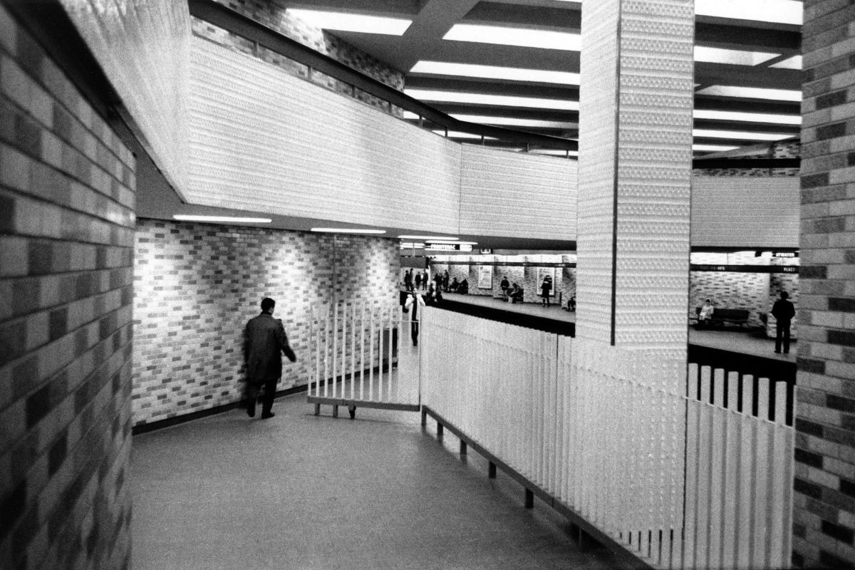
Station Place-des-Arts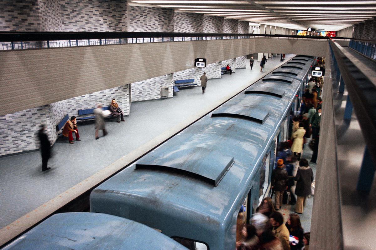
Station Place-des-Arts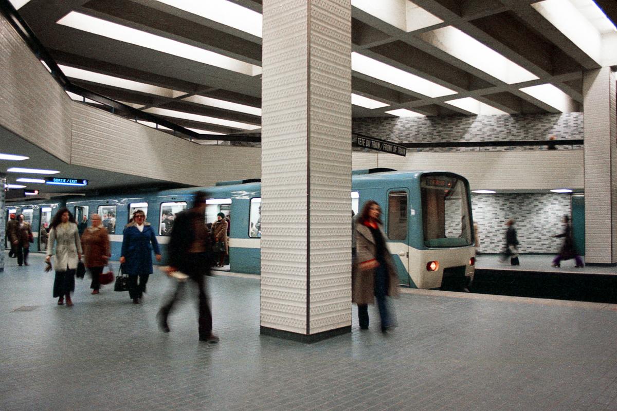
Station Place-des-Arts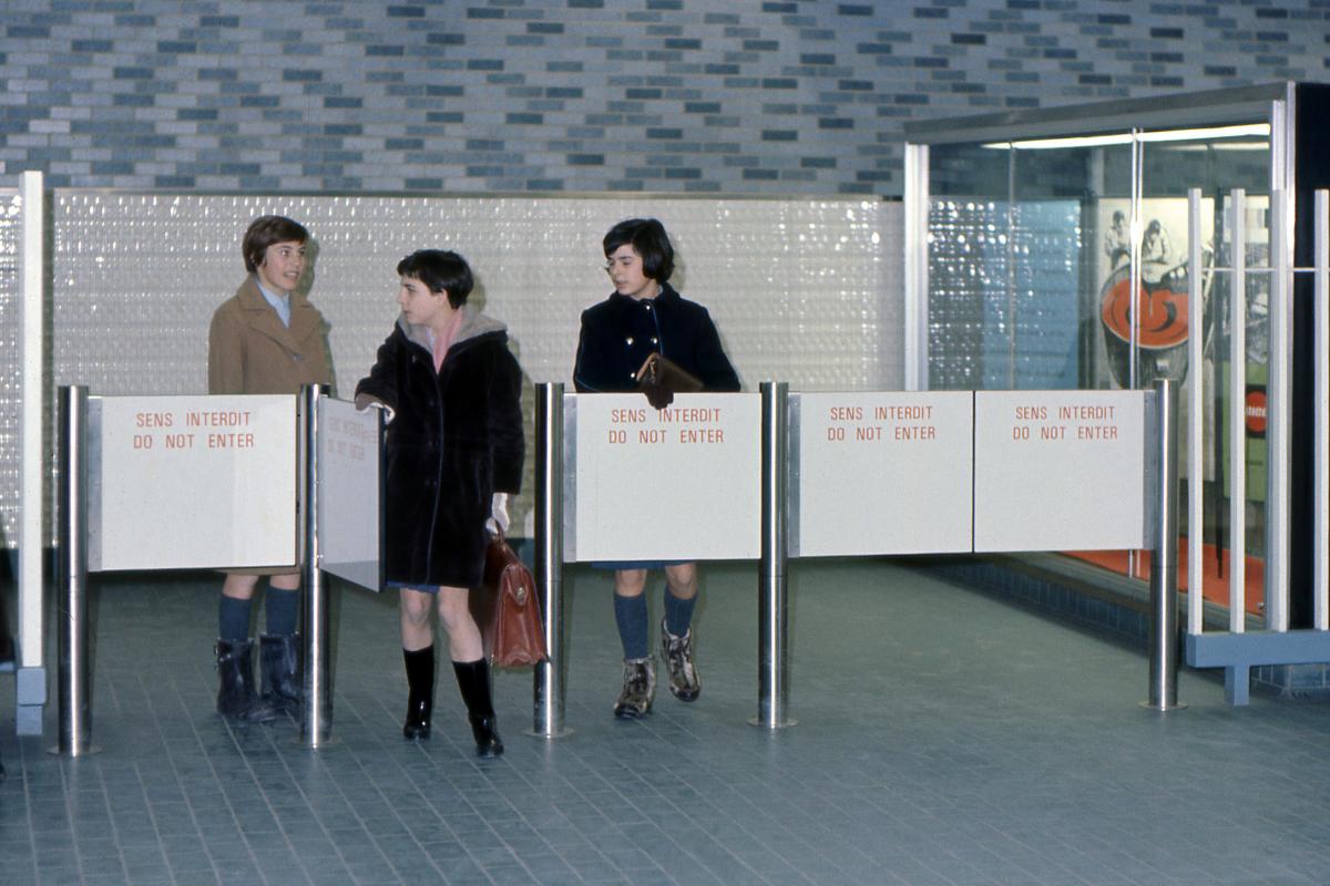
Station Place-des-Arts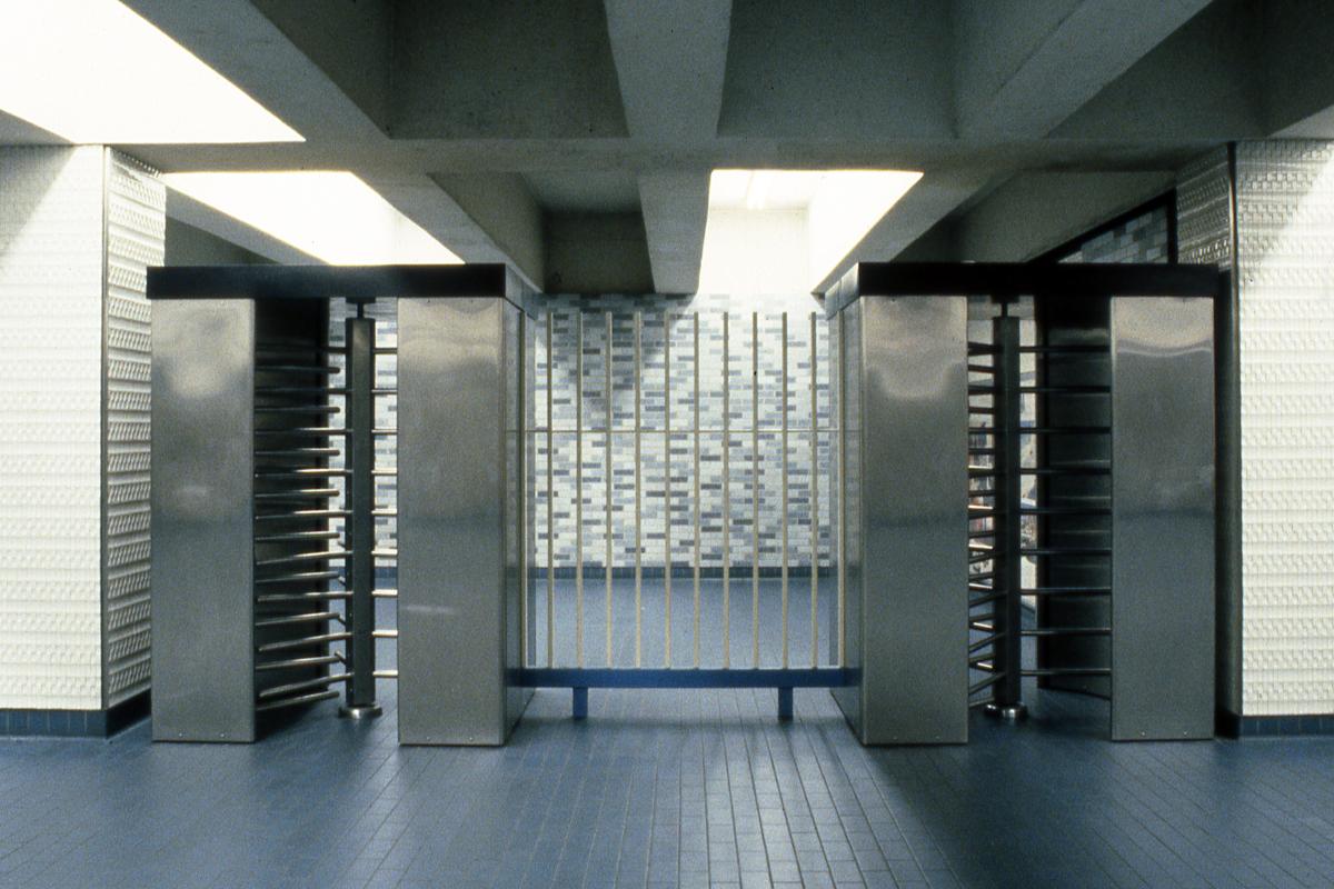
Station Place-des-Arts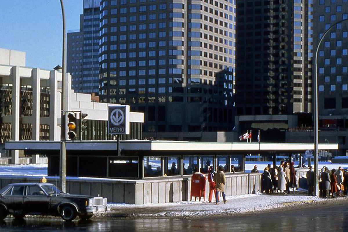
Station Place-des-Arts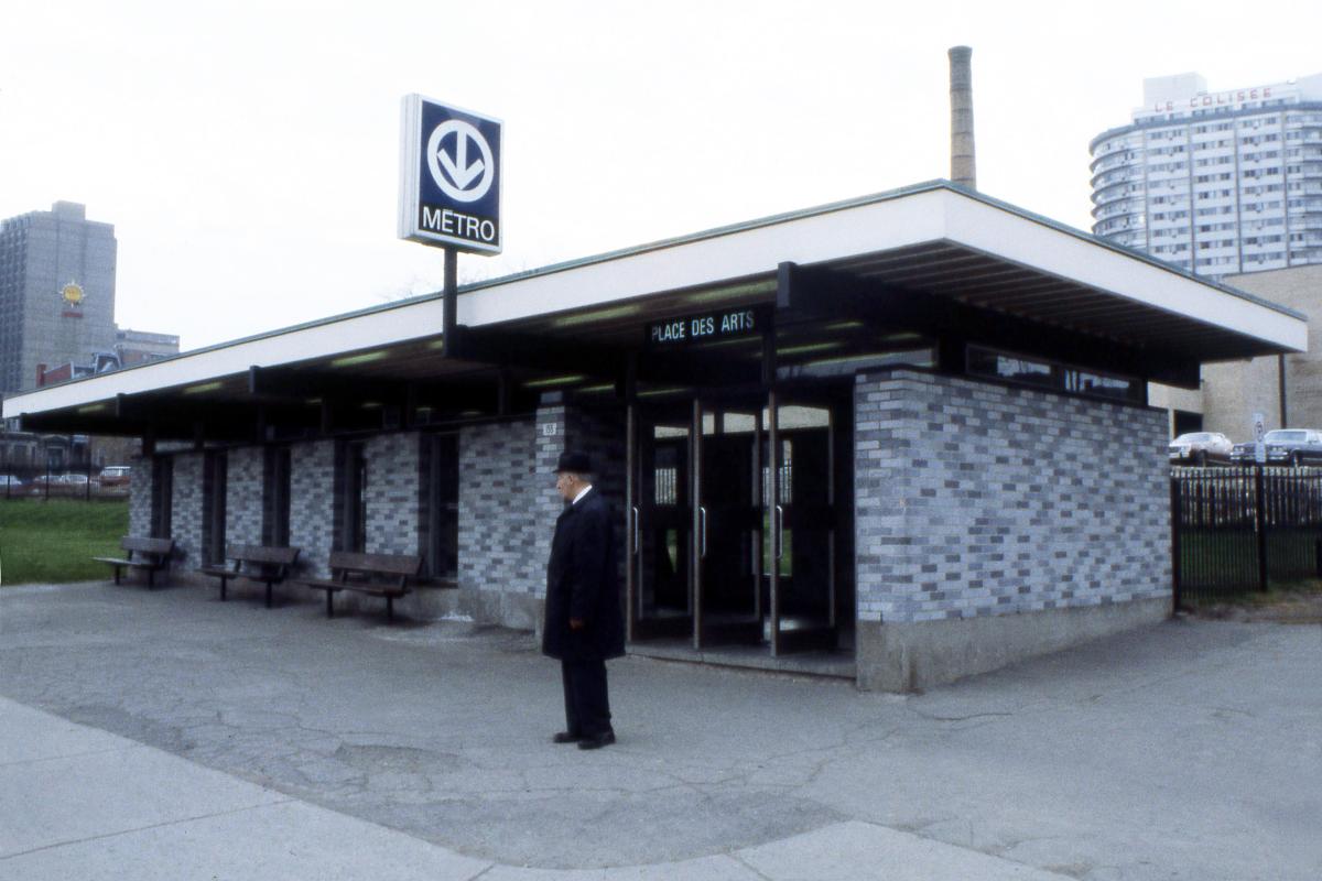
Station Place-des-Arts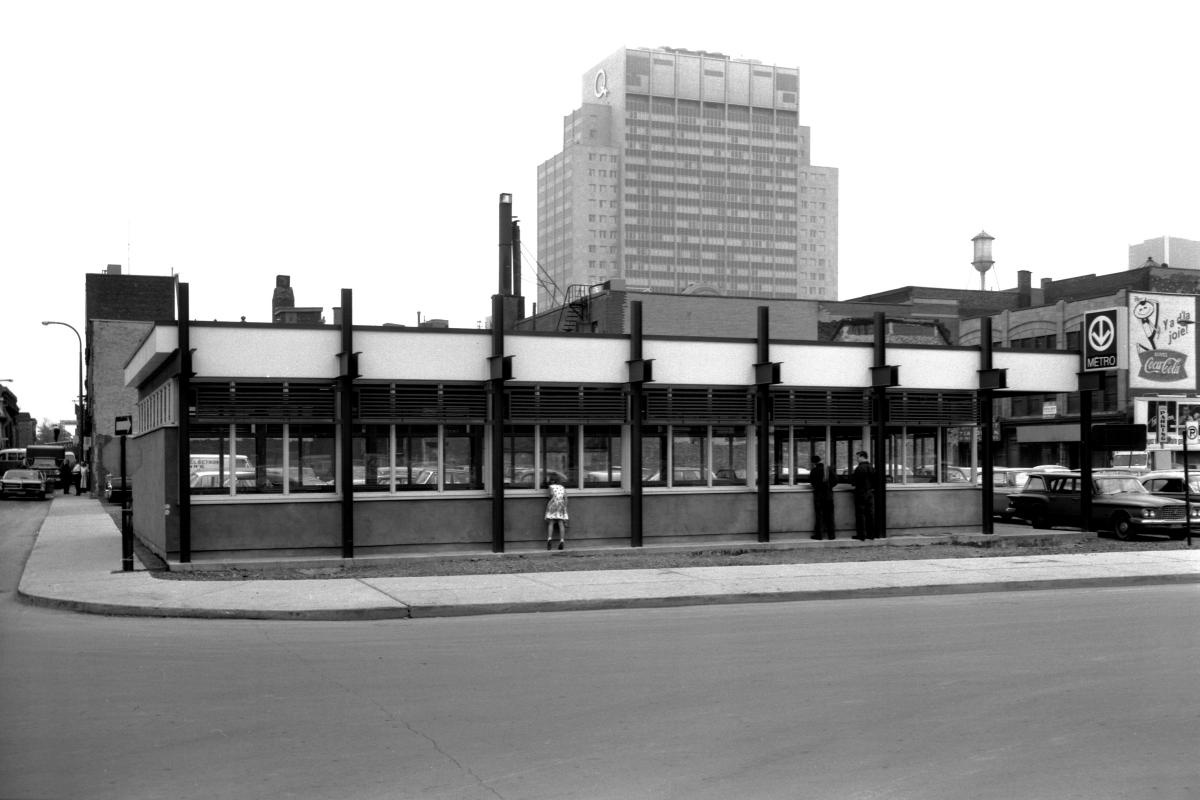
Station Saint-Laurent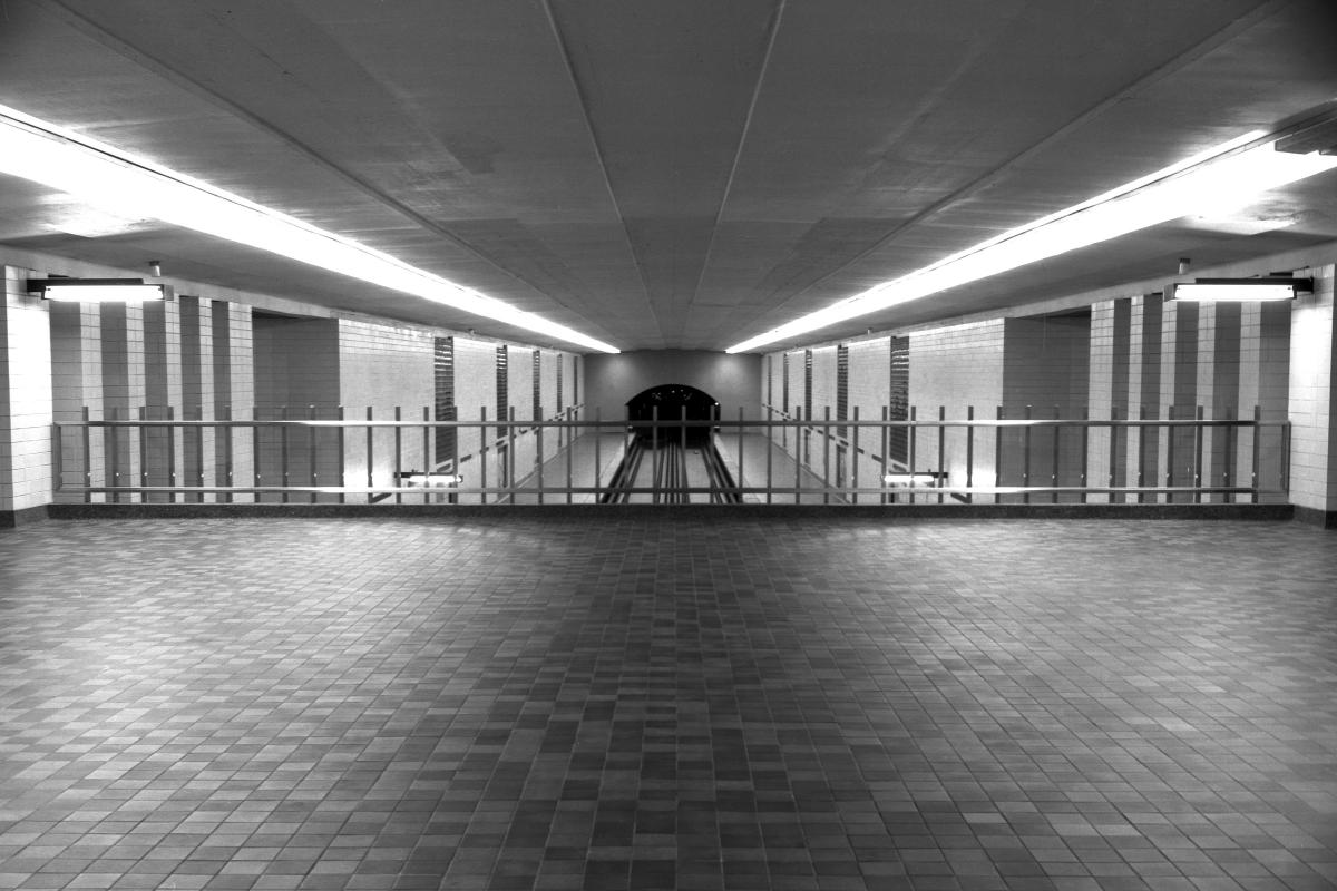
Station Saint-Laurent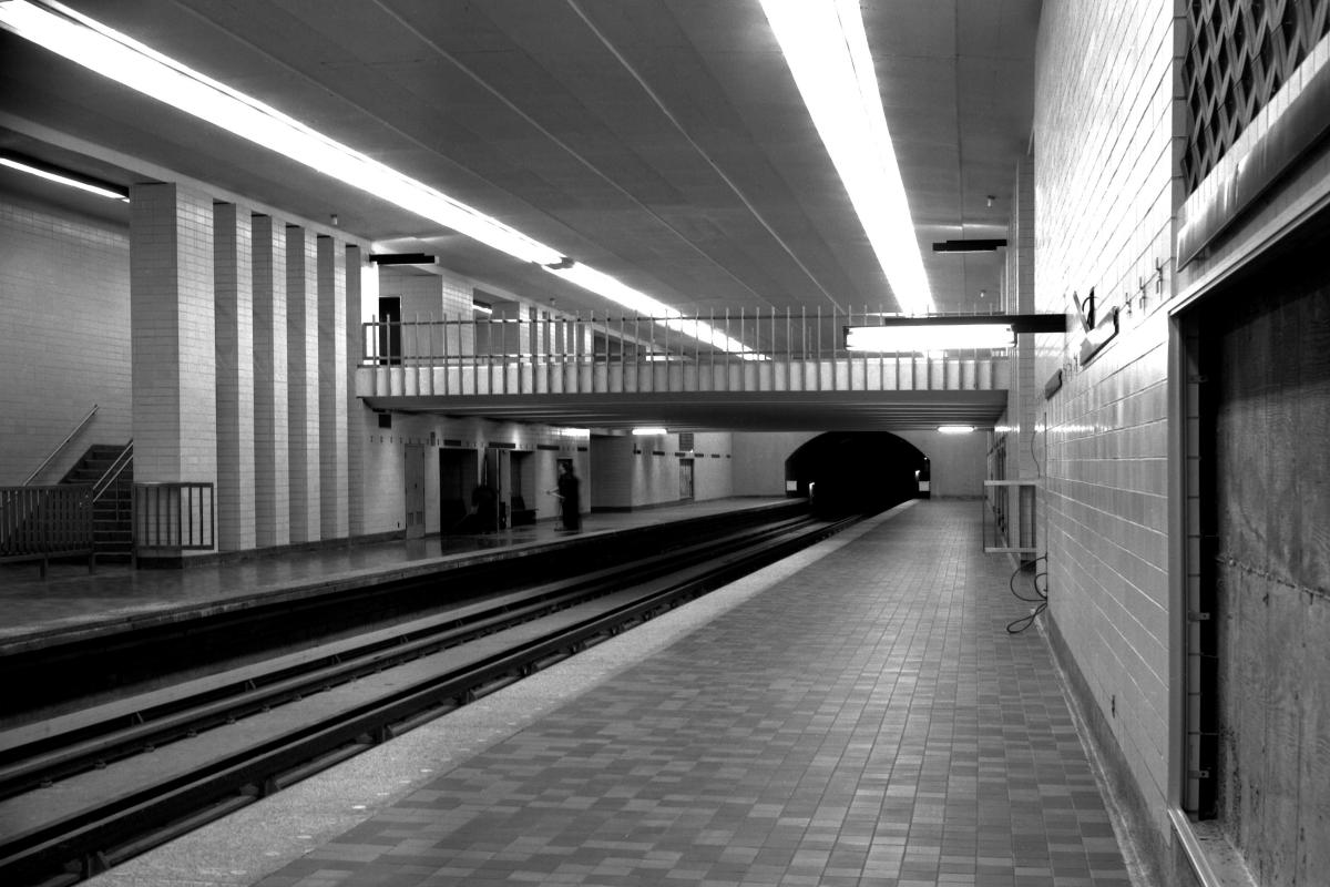
Station Saint-Laurent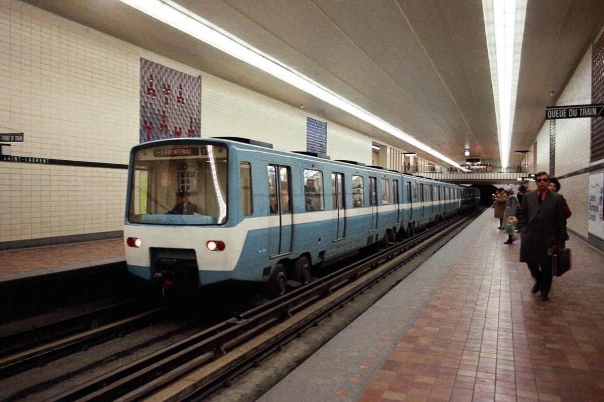
Station Saint-Laurent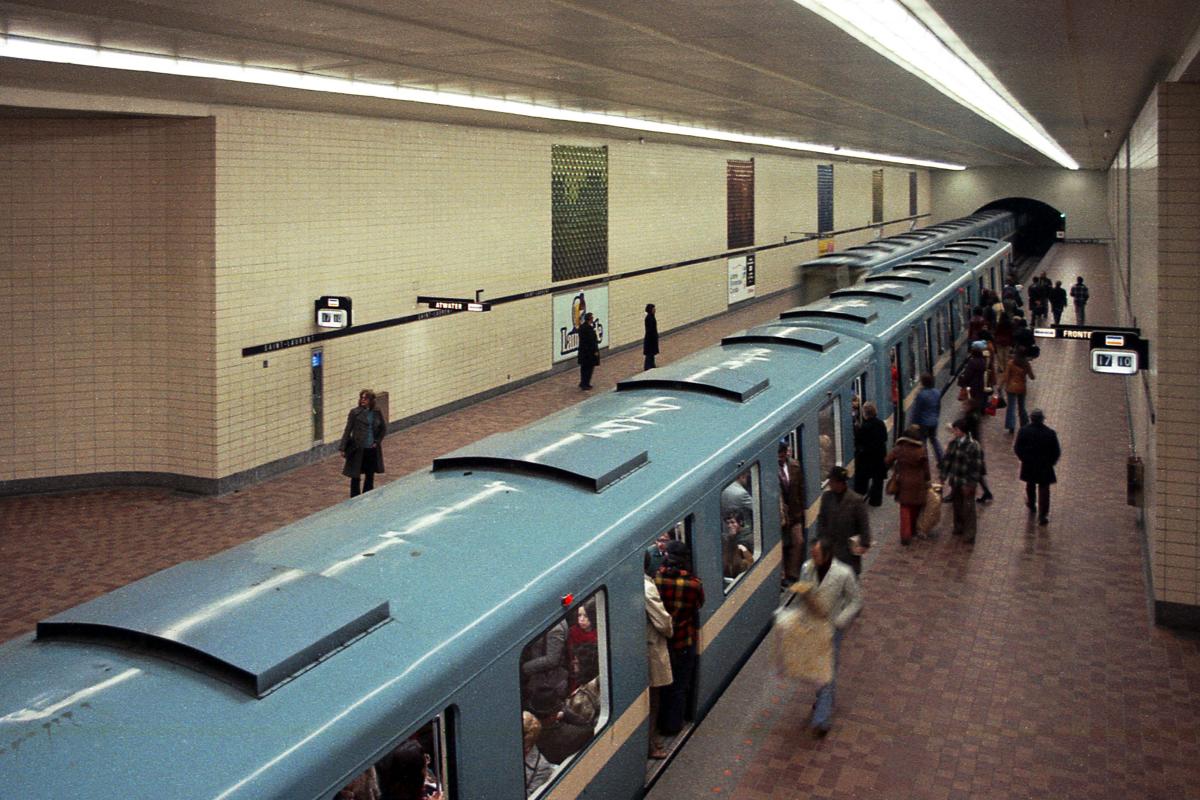
Station Saint-Laurent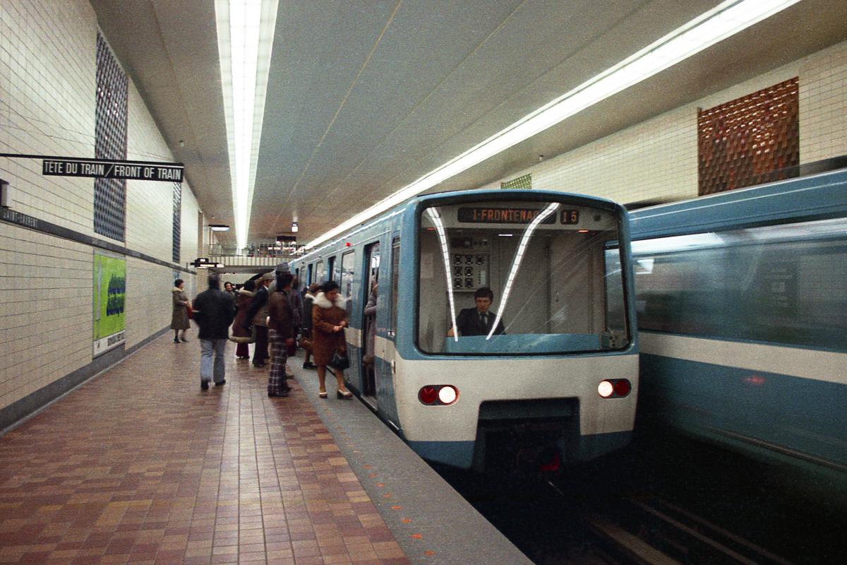
Station Saint-Laurent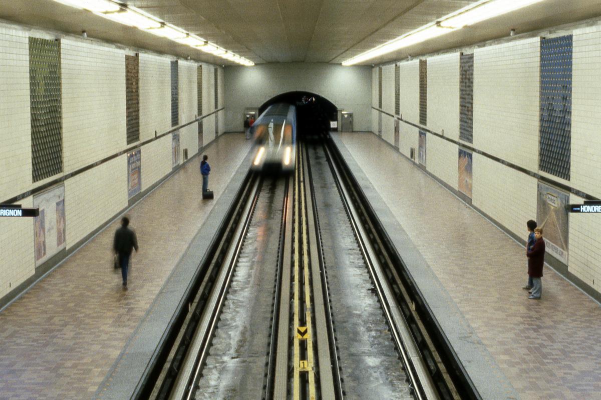
Station Saint-Laurent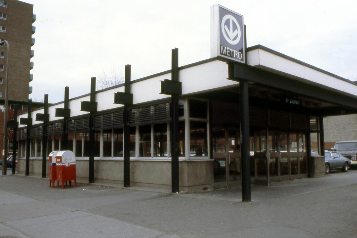
Station Saint-Laurent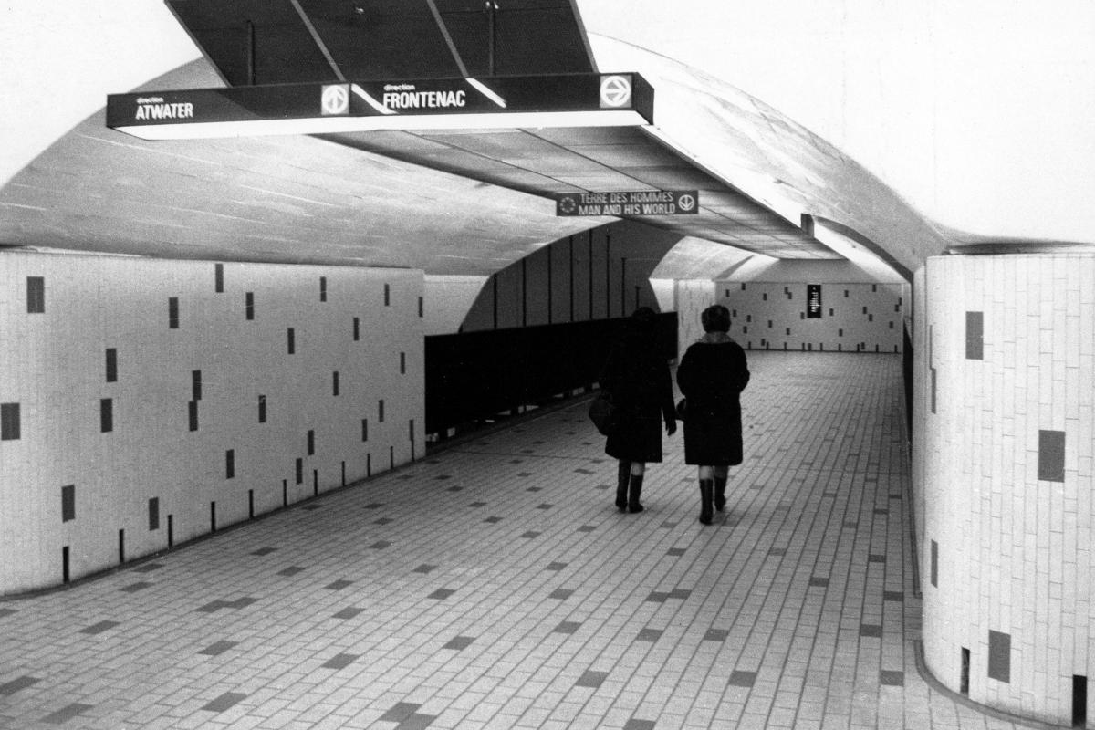
Station Beaudry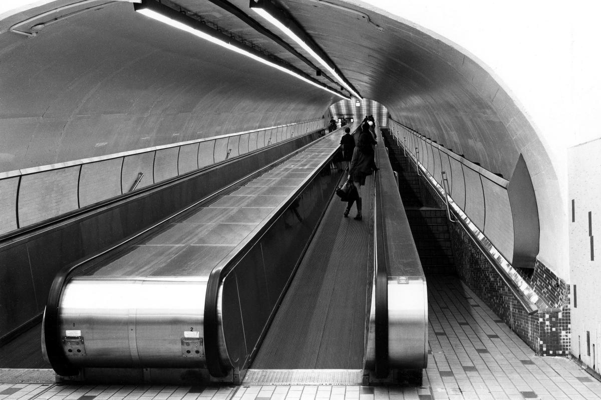
Station Beaudry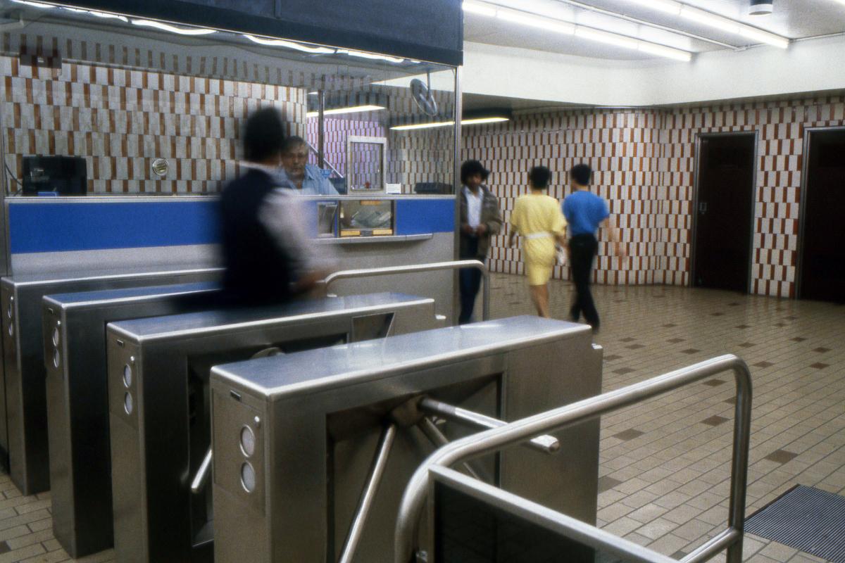
Station Beaudry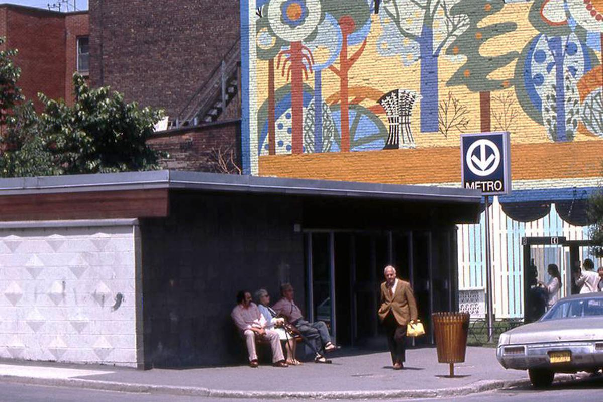
Station Beaudry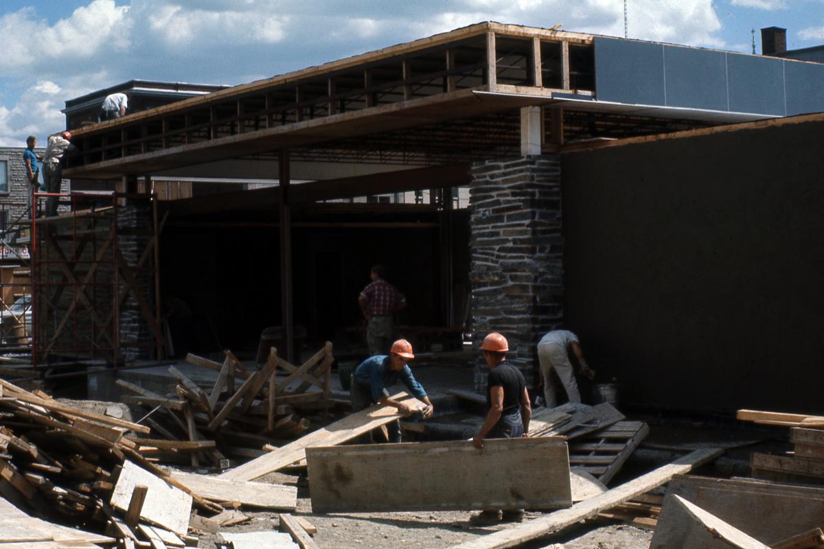
Station Papineau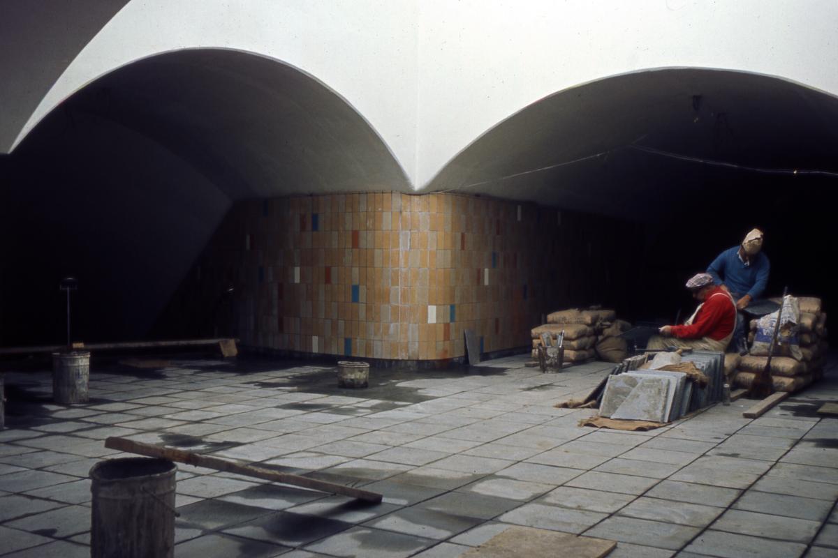
Station Papineau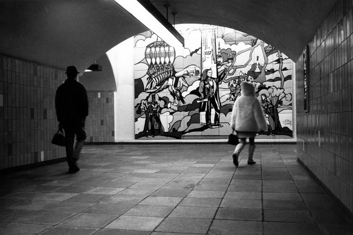
Station Papineau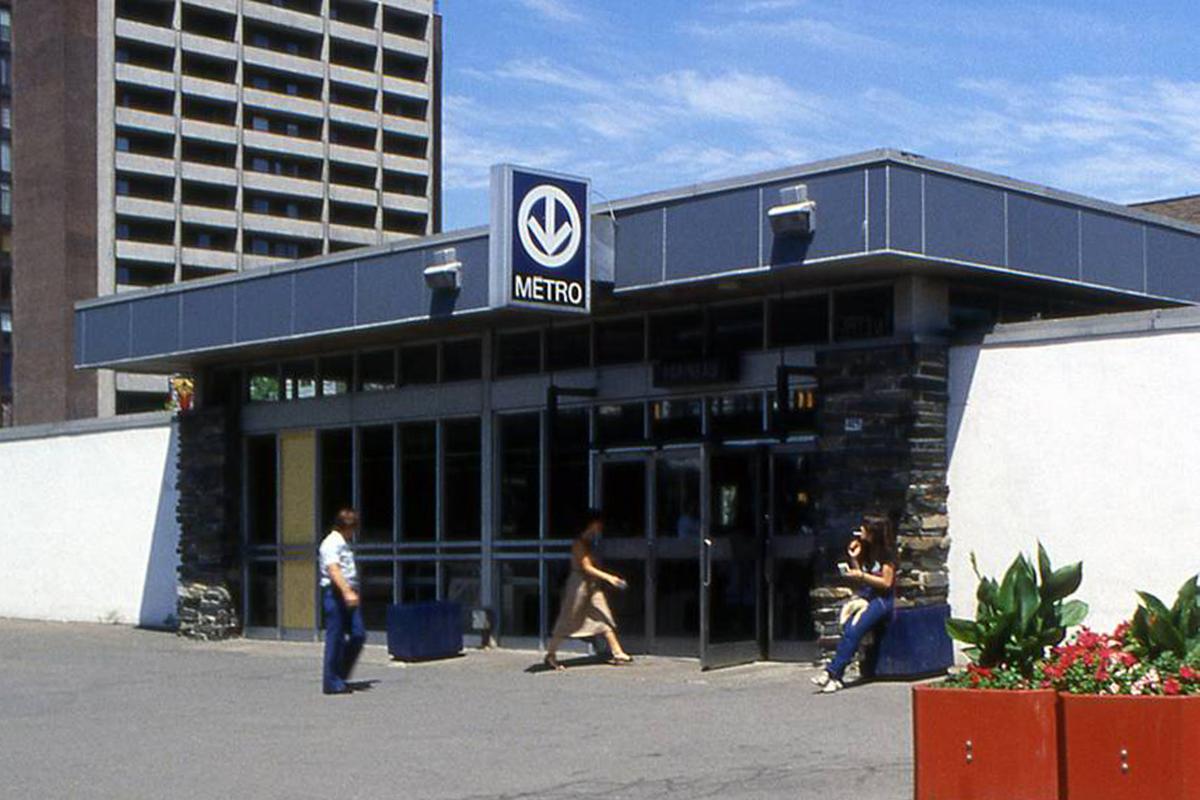
Station Papineau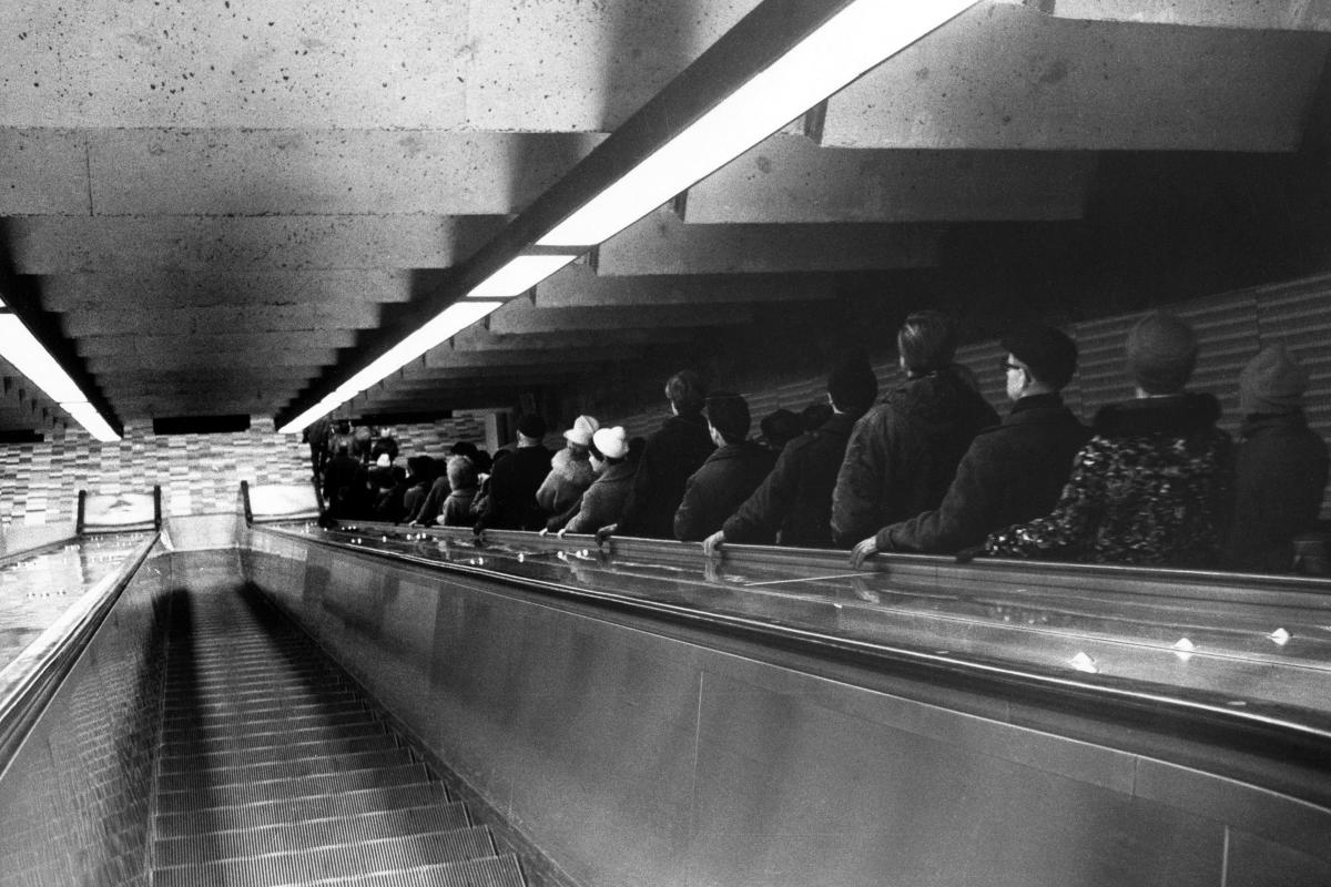
Station Frontenac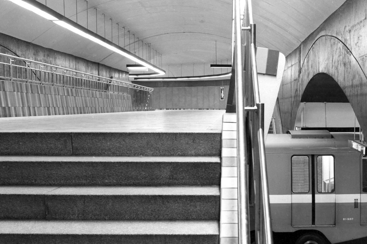
Station Frontenac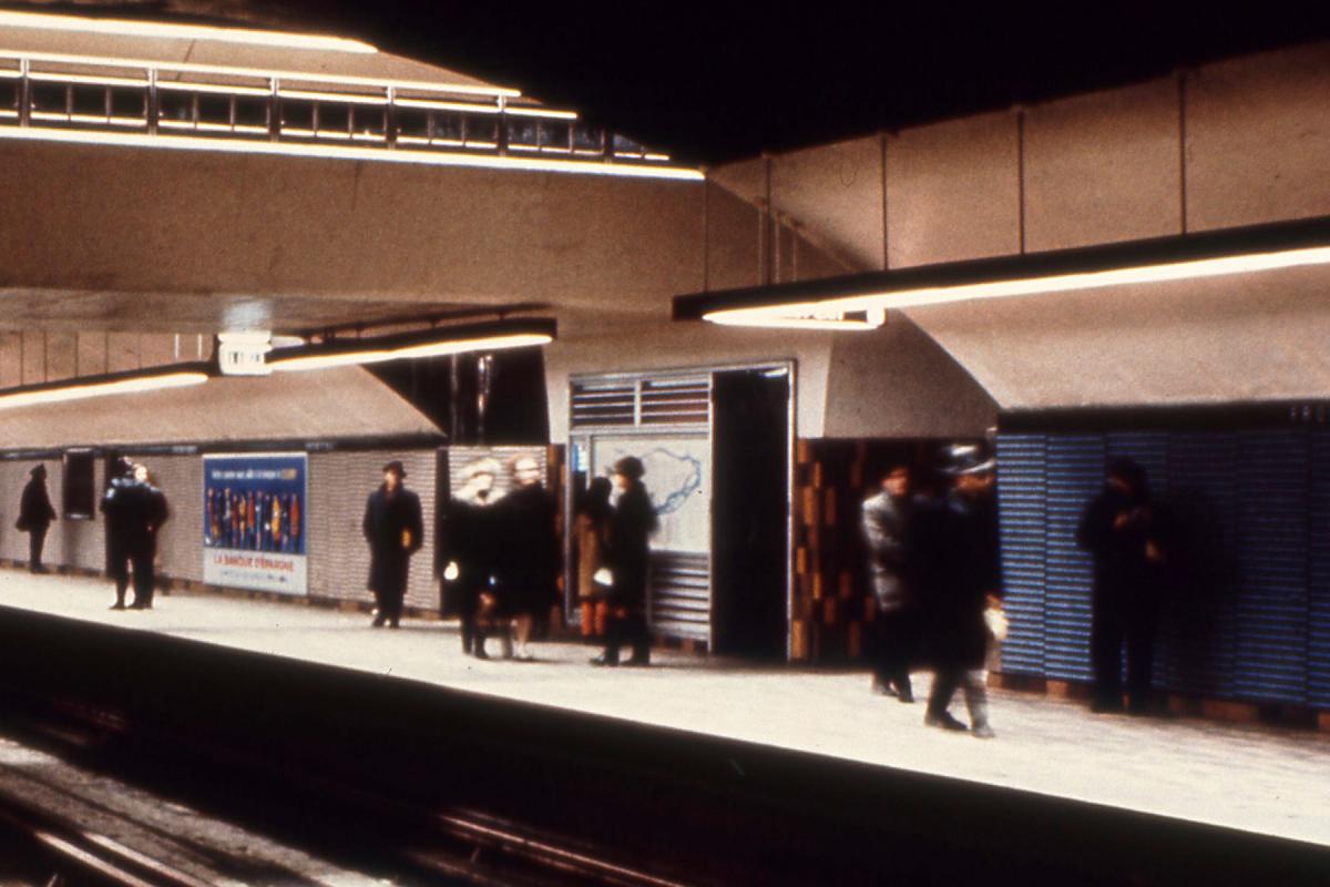
Station Frontenac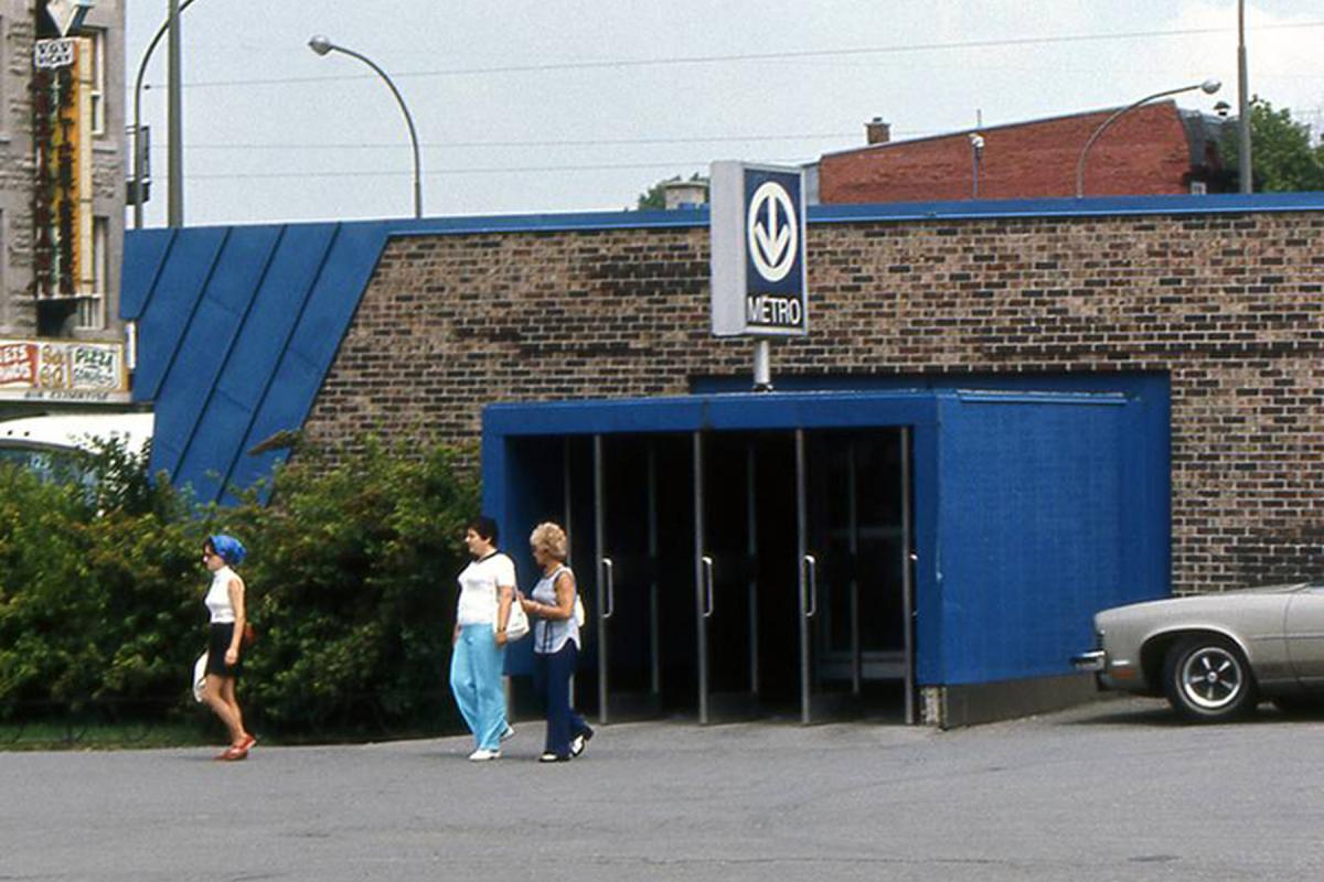
Station Frontenac
Photos: Archives de la STM
Initial network, line 2 (orange)
Stations: Henri-Bourassa, Sauvé, Crémazie, Jarry, Jean-Talon, Beaubien, Rosemont, Laurier, Mont-Royal, Sherbrooke, Champ-de-Mars, Place-d'Armes, Square-Victoria (Square-Victoria–OACI), Bonaventure
Station Henri-Bourassa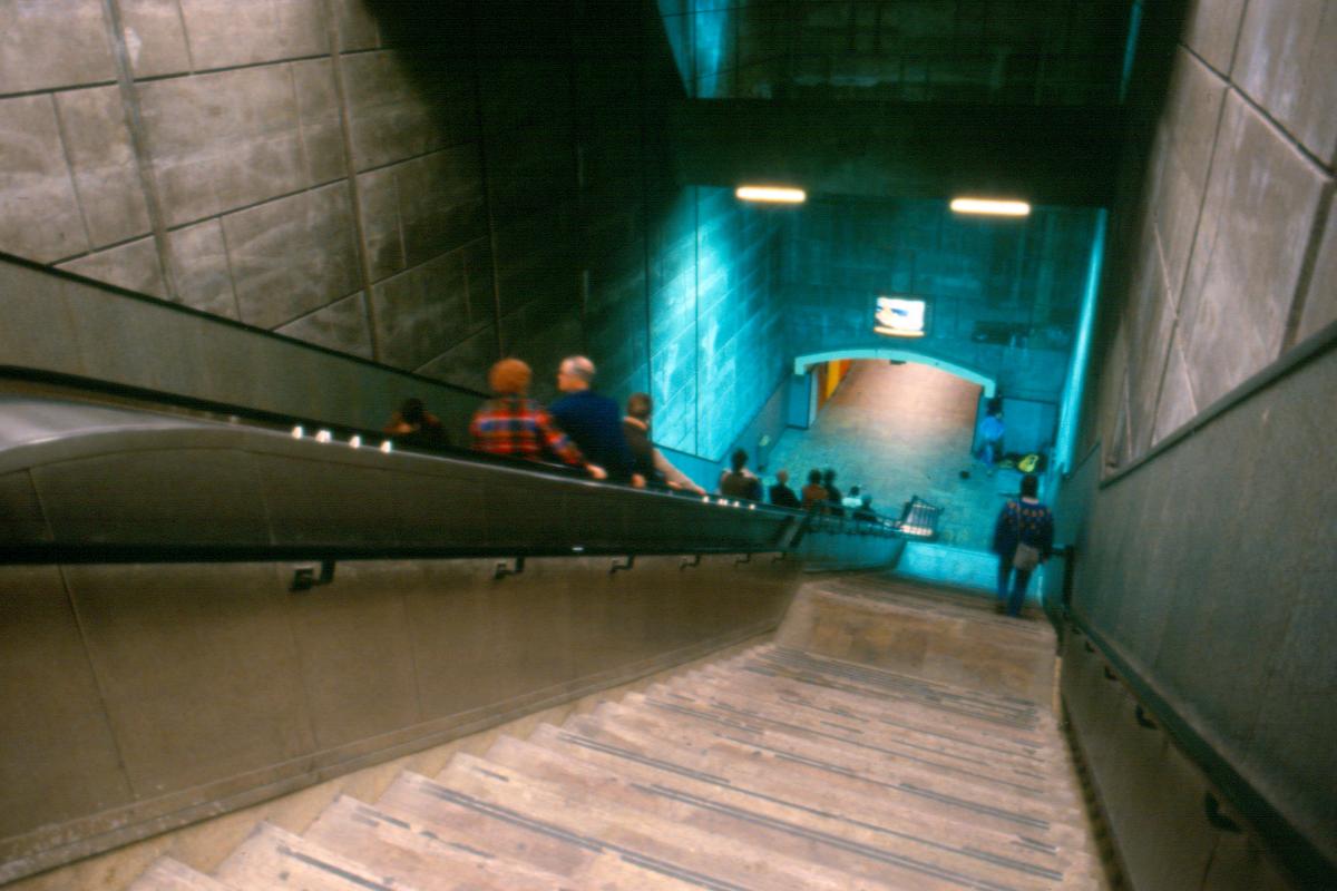
Station Henri-Bourassa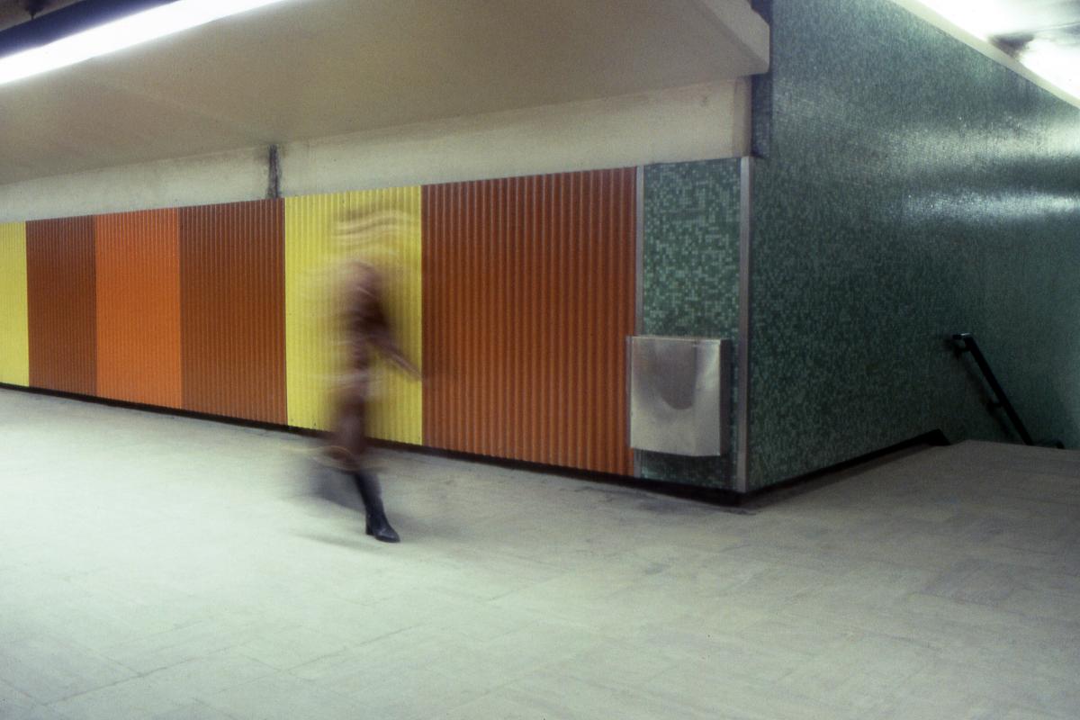
Station Henri-Bourassa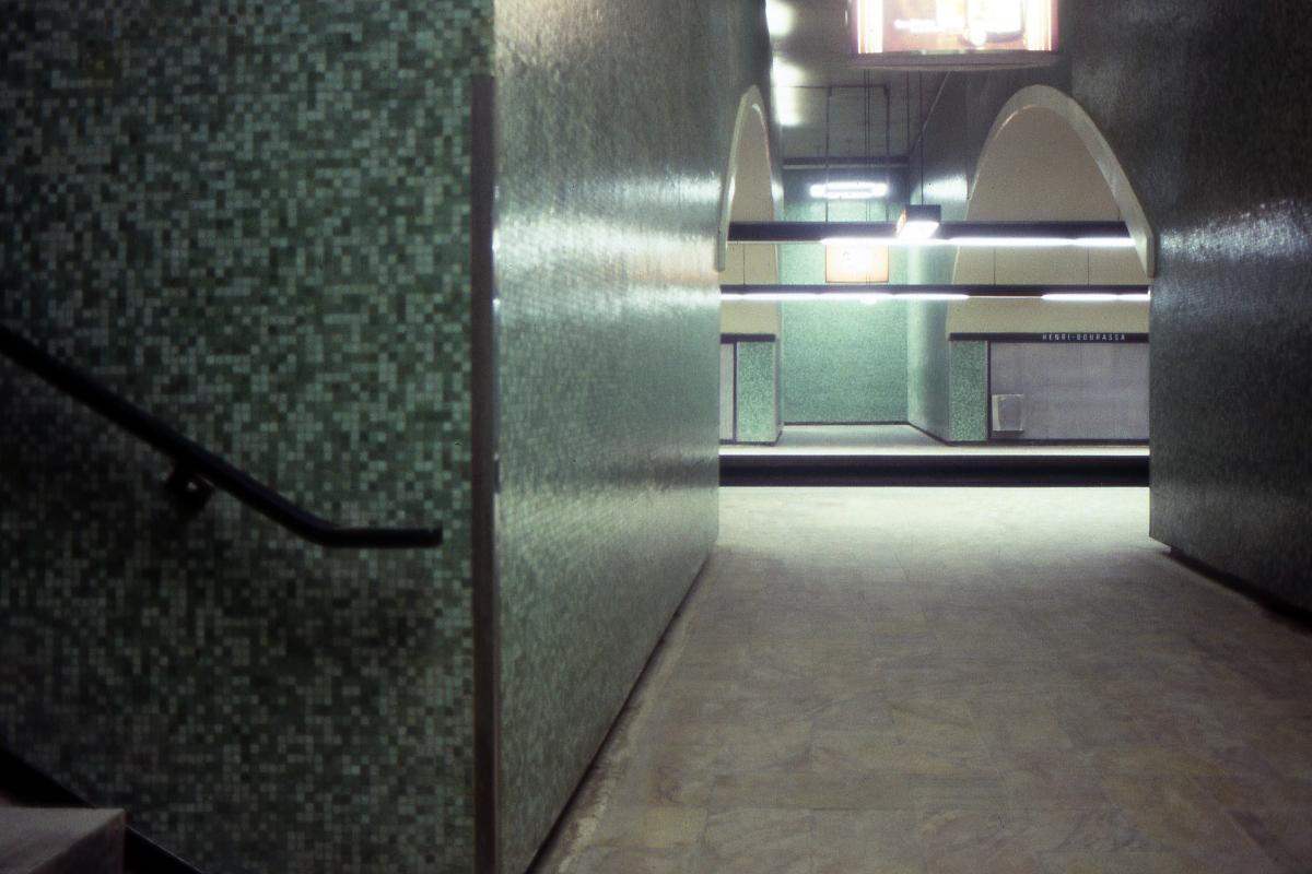
Station Henri-Bourassa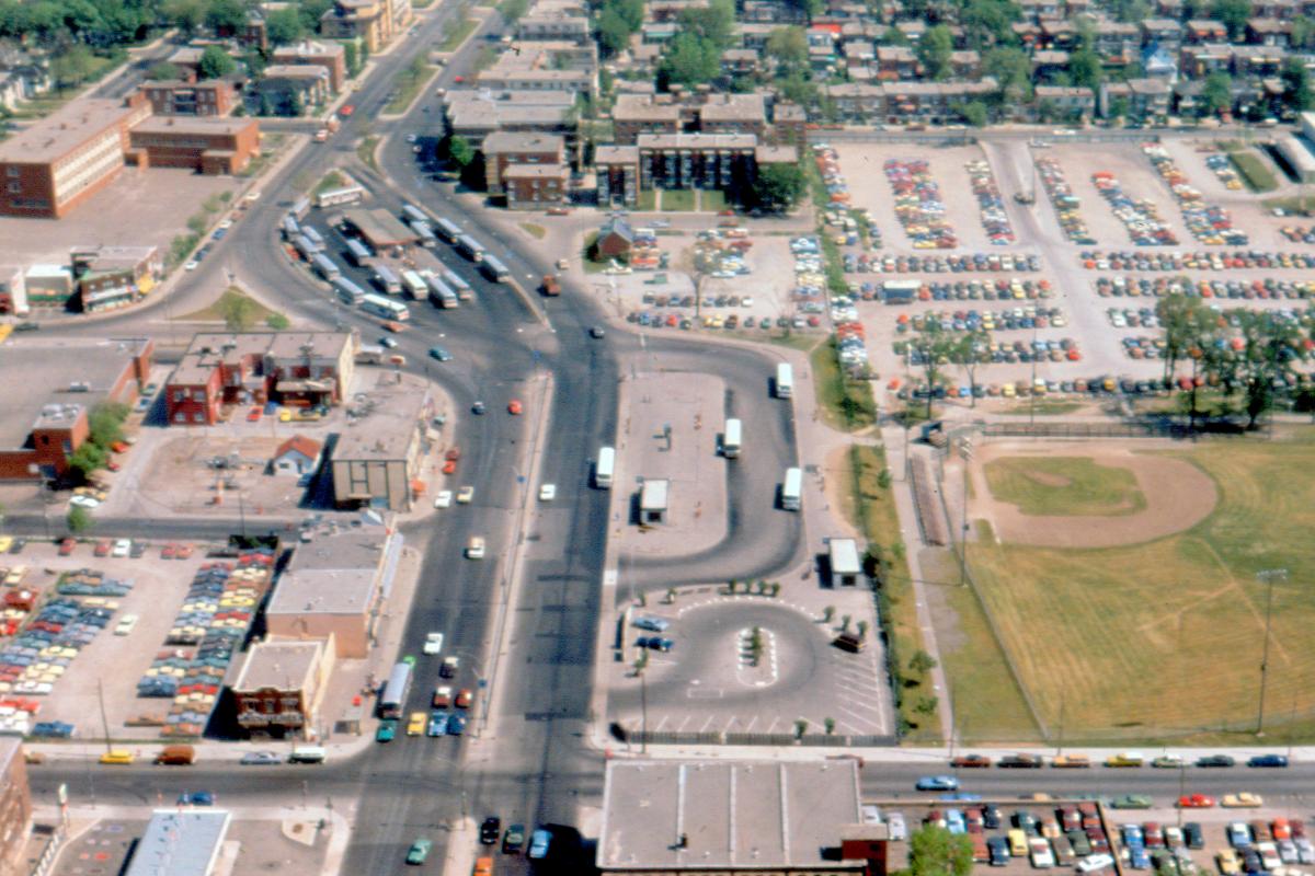
Station Henri-Bourassa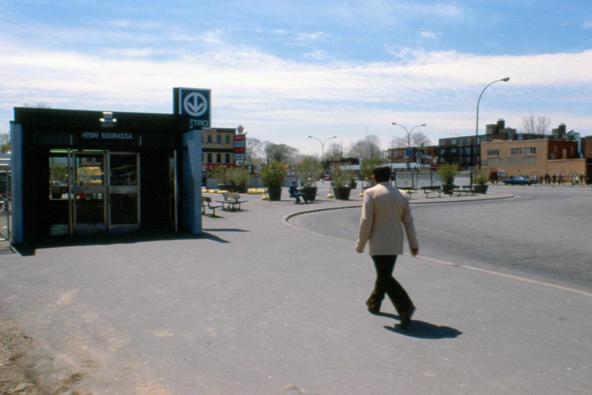
Station Henri-Bourassa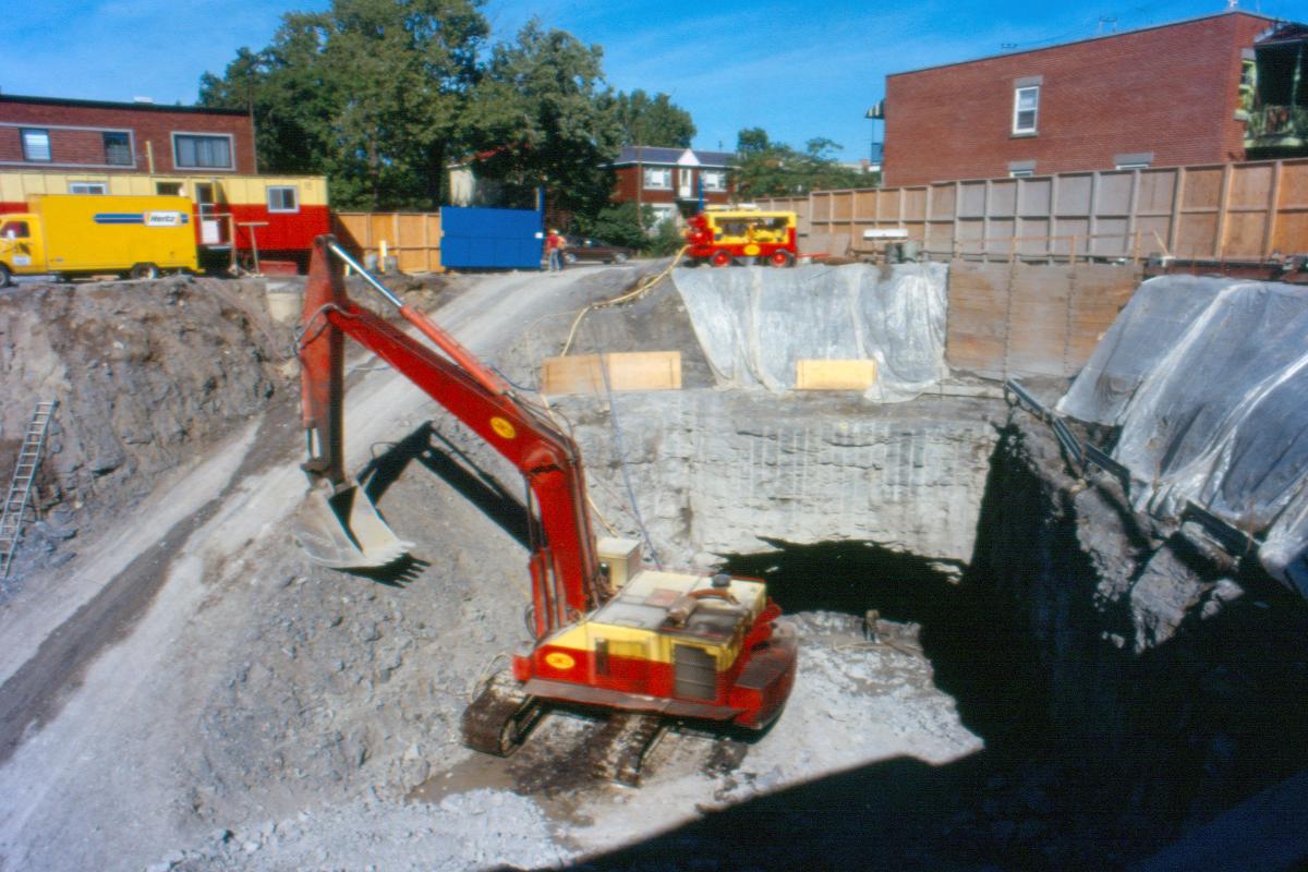
Station Henri-Bourassa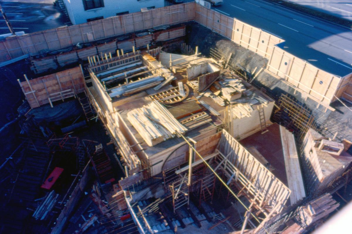
Station Henri-Bourassa
Station Henri-Bourassa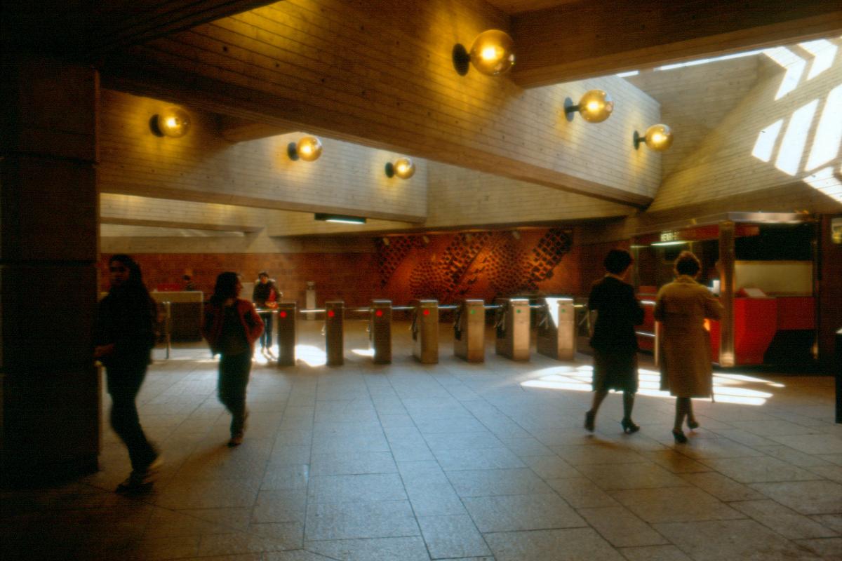
Station Henri-Bourassa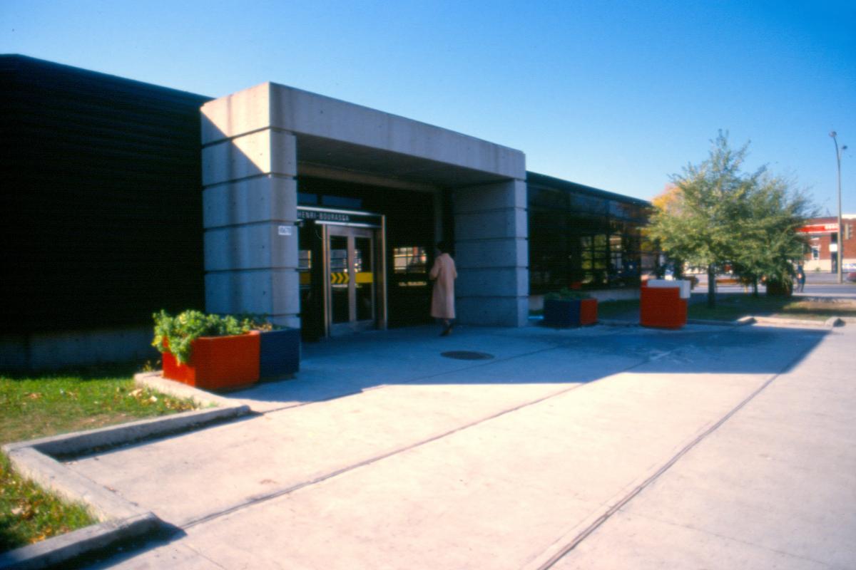
Station Henri-Bourassa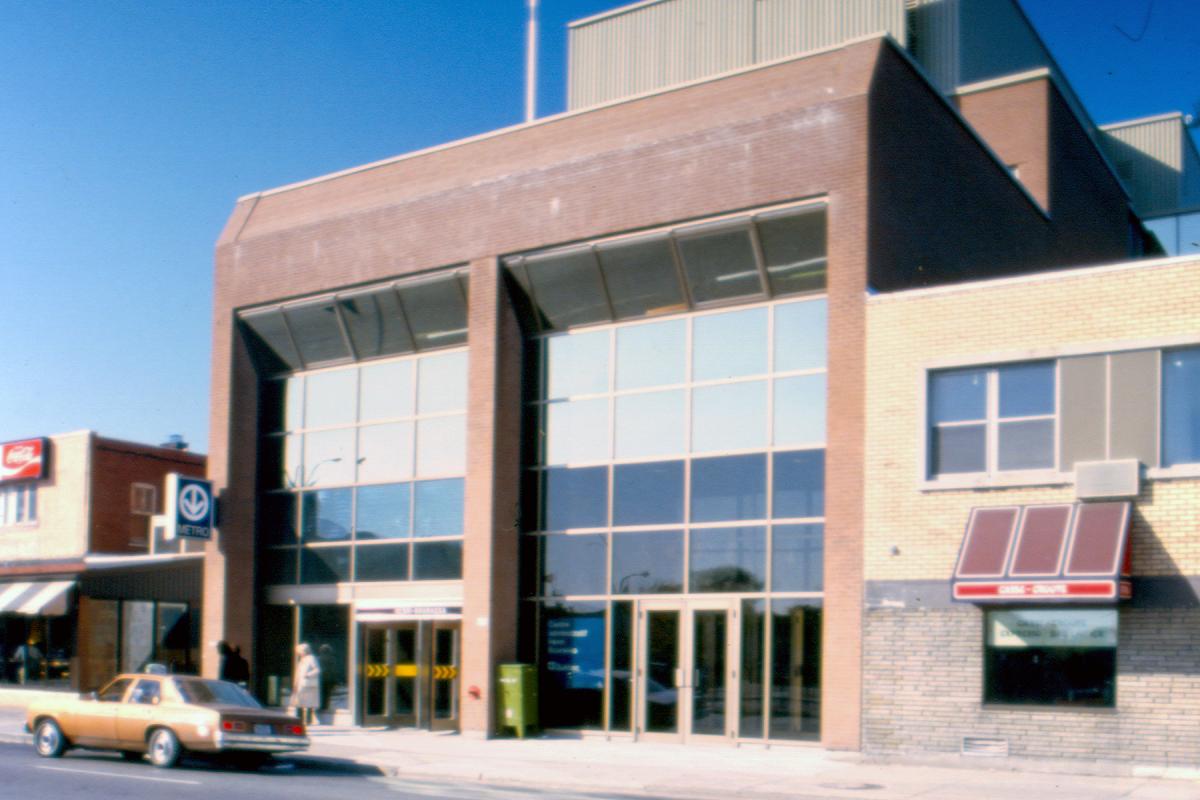
Station Henri-Bourassa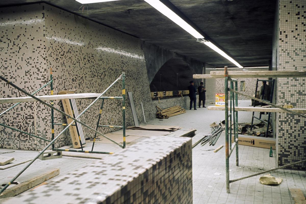
Station Sauvé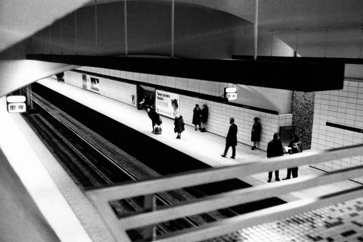
Station Sauvé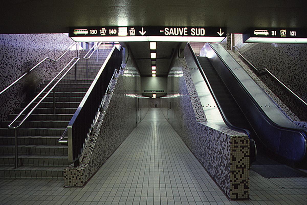
Station Sauvé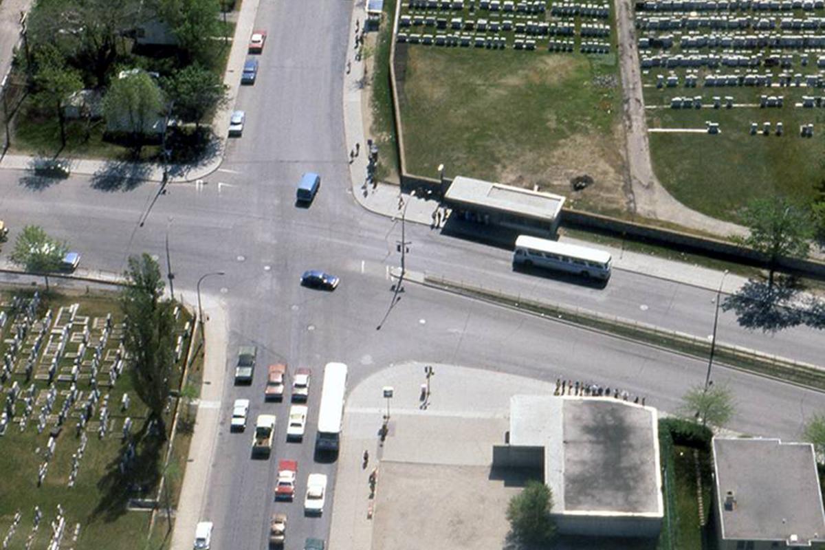
Station Sauvé
Station Crémazie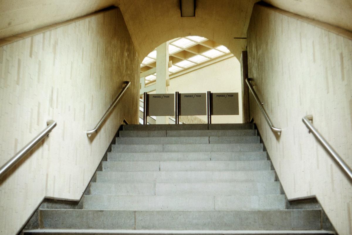
Station Crémazie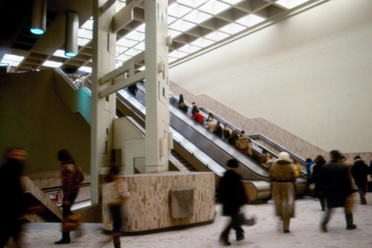
Station Crémazie
Station Crémazie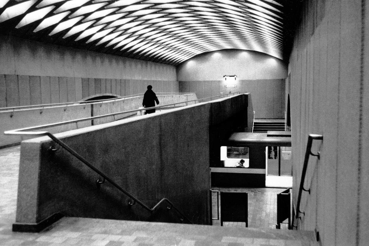
Station Jarry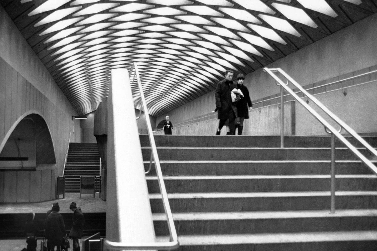
Station Jarry
Station Jarry
Station Jarry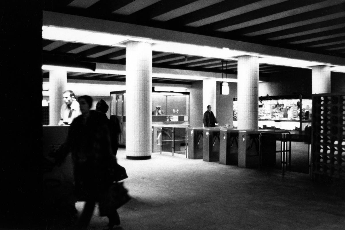
Station Jean-Talon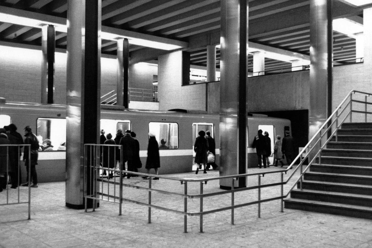
Station Jean-Talon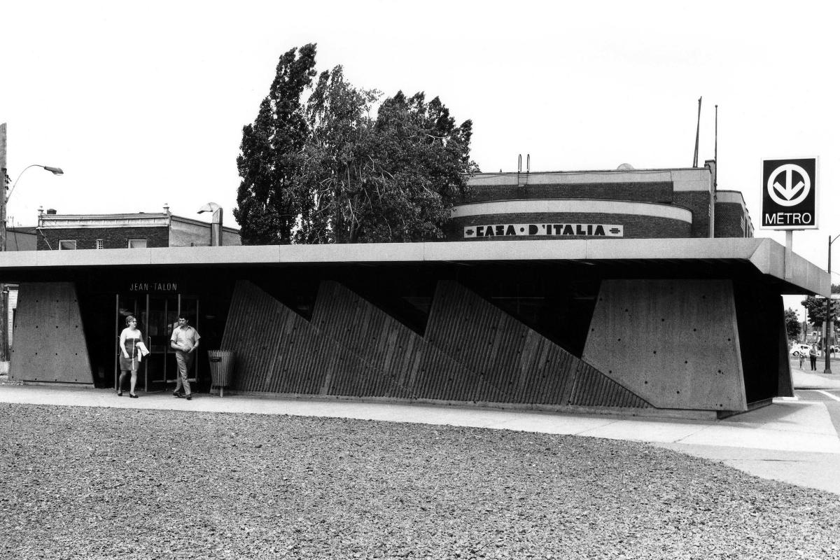
Station Jean-Talon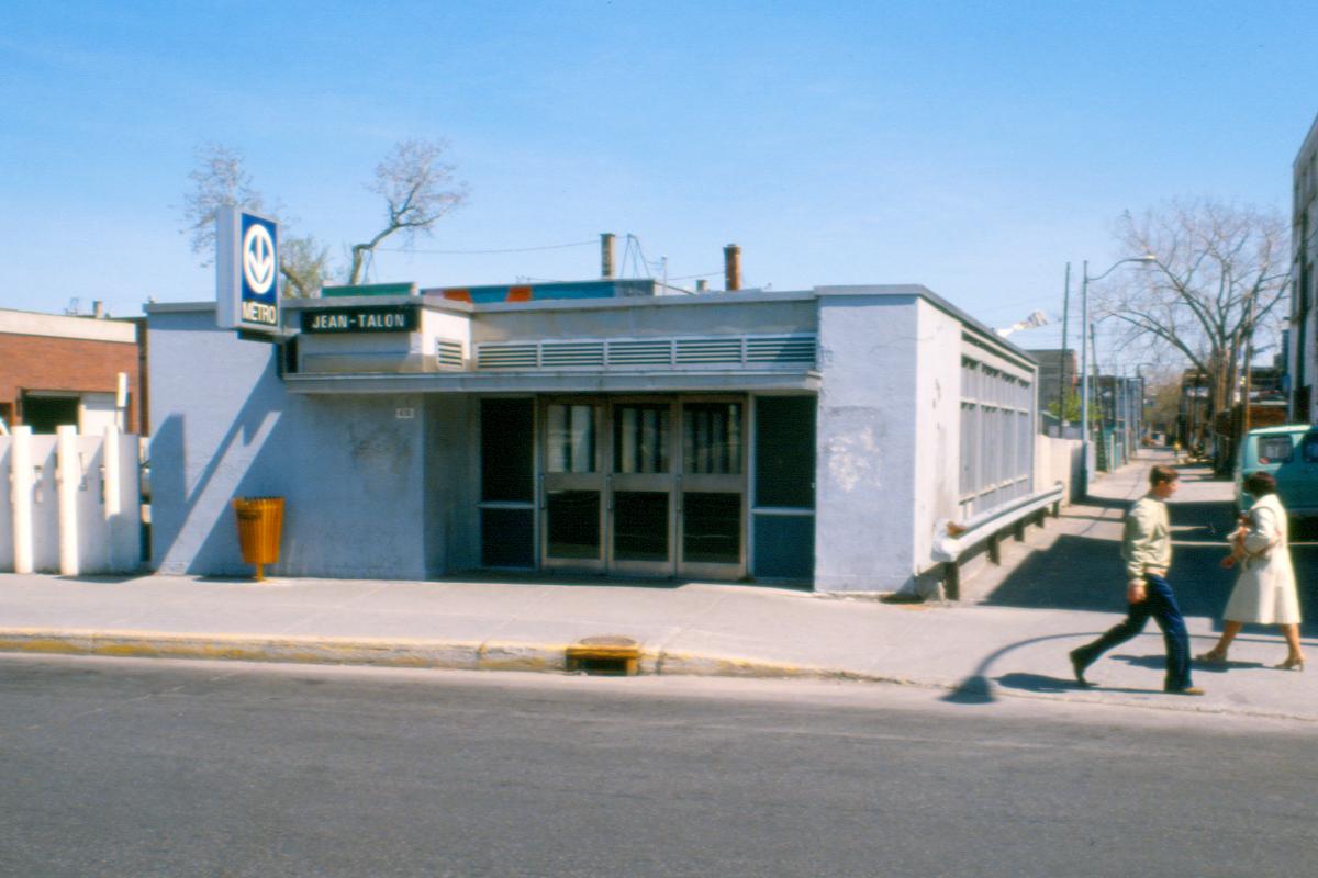
Station Jean-Talon
Station Jean-Talon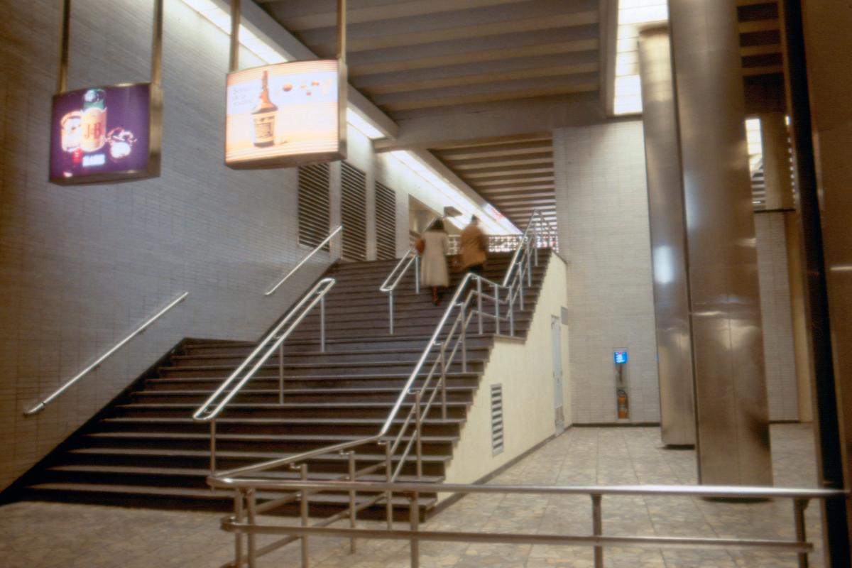
Station Jean-Talon
Station Beaubien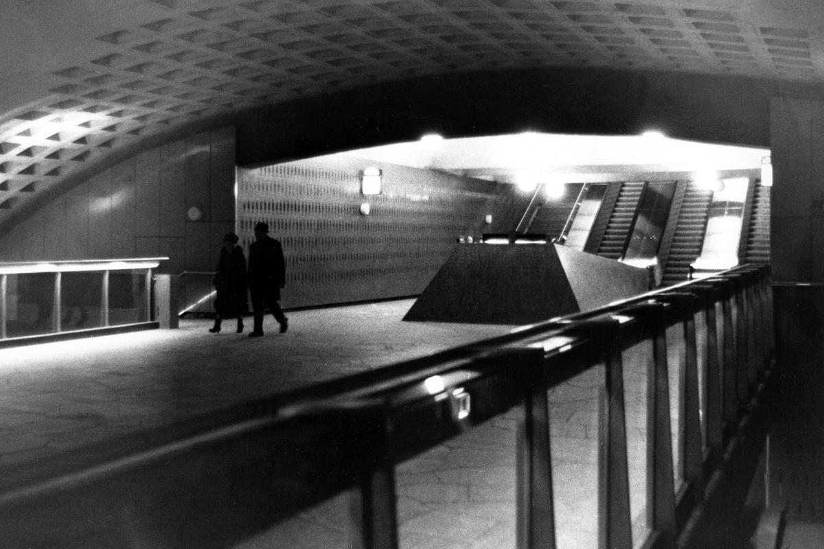
Station Beaubien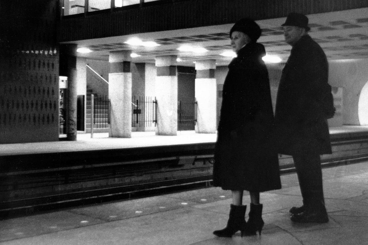
Station Beaubien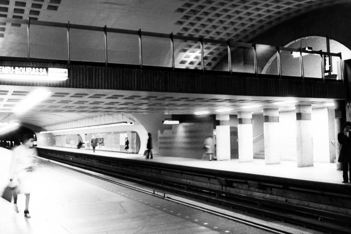
Station Beaubien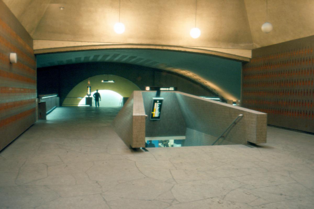
Station Beaubien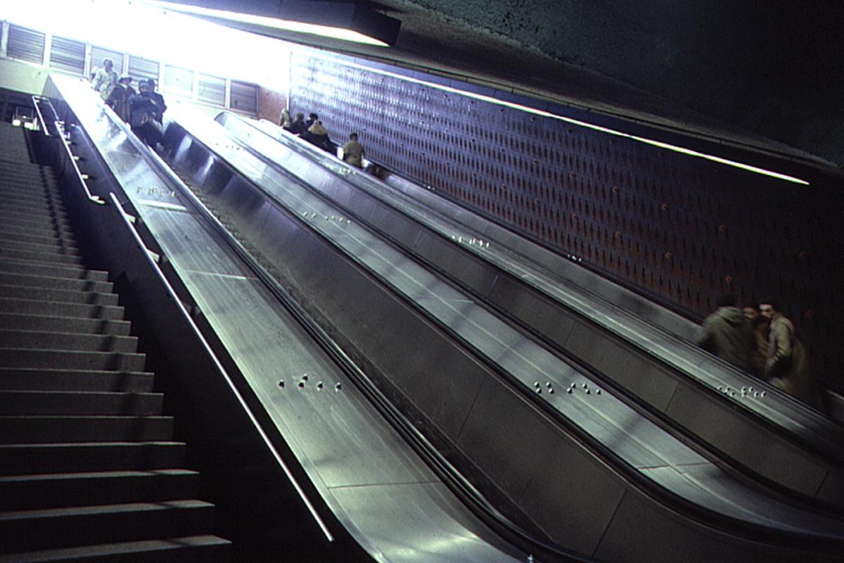
Station Beaubien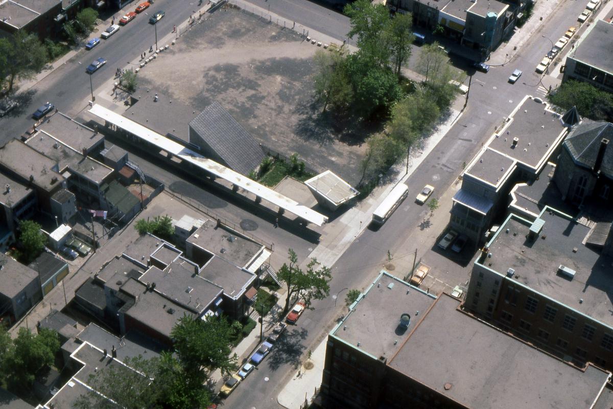
Station Beaubien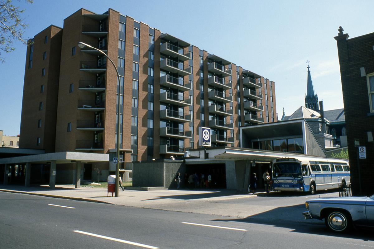
Station Beaubien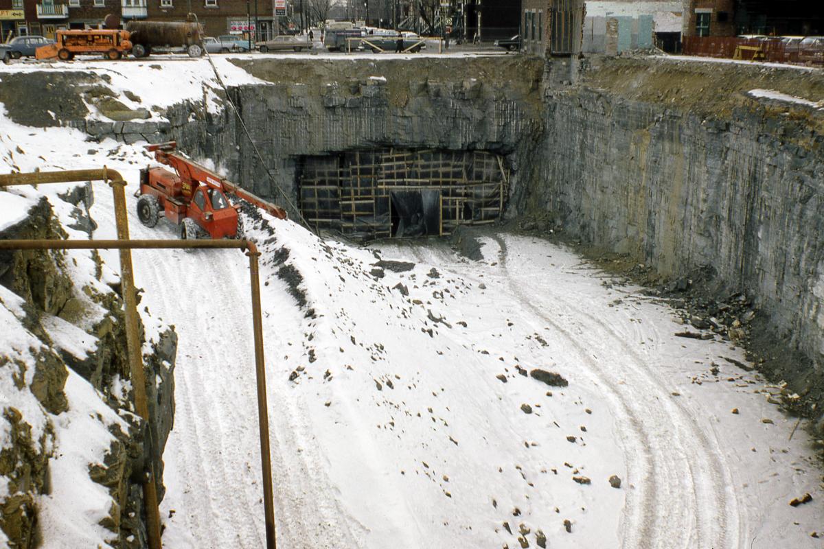
Station Rosemont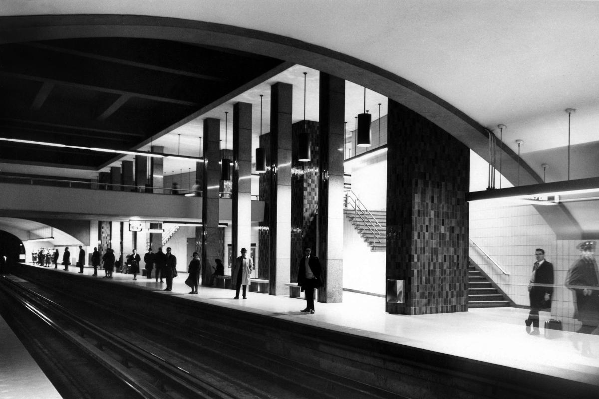
Station Rosemont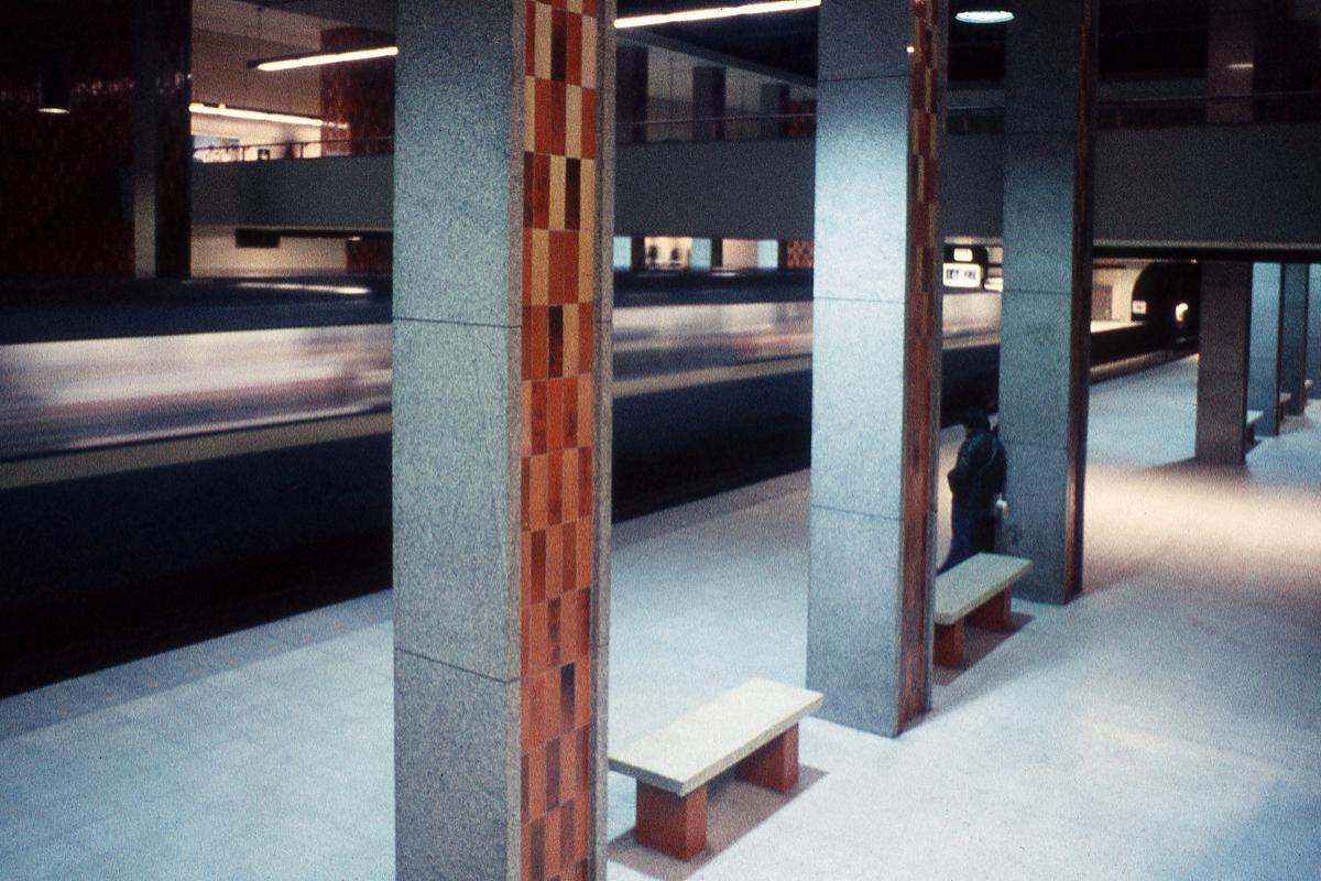
Station Rosemont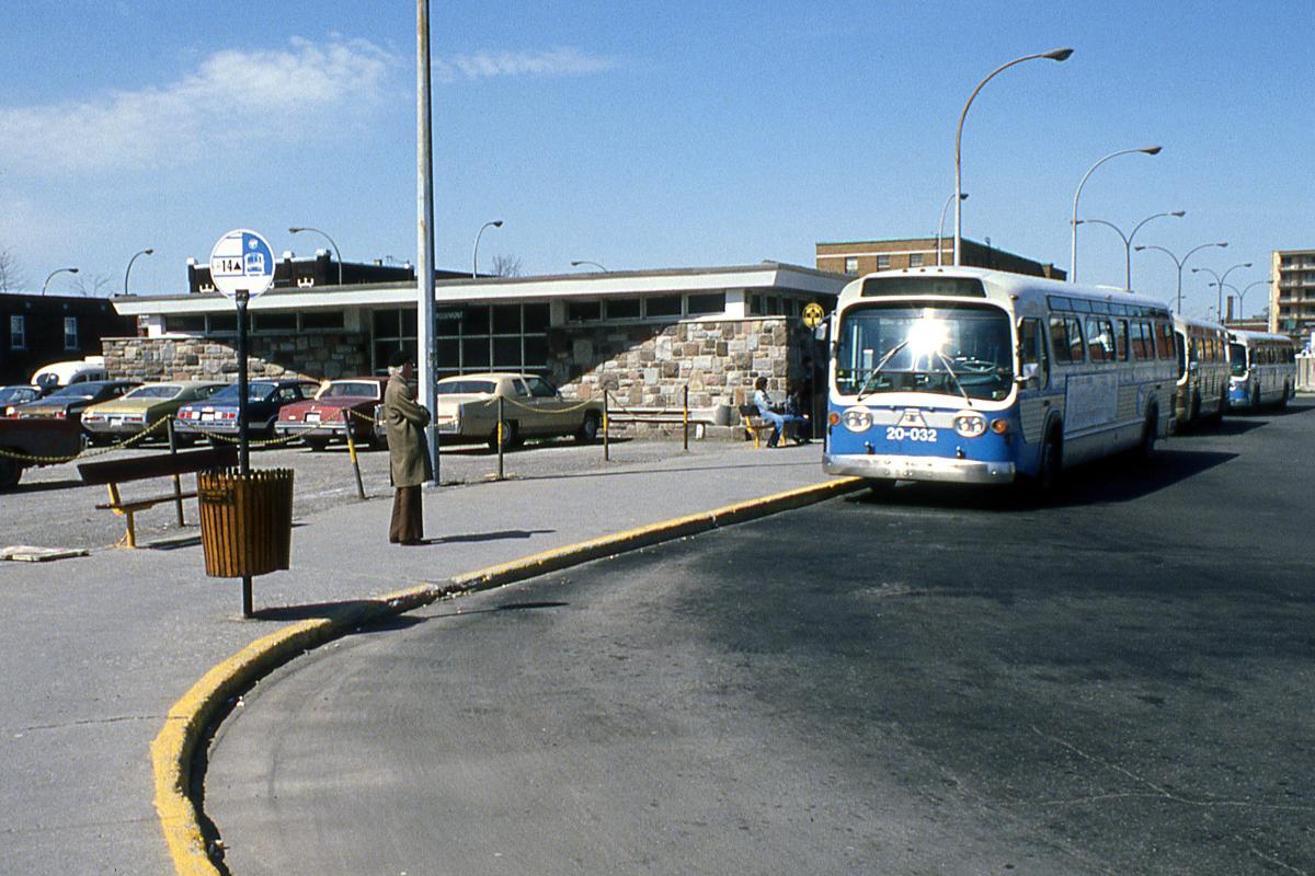
Station Rosemont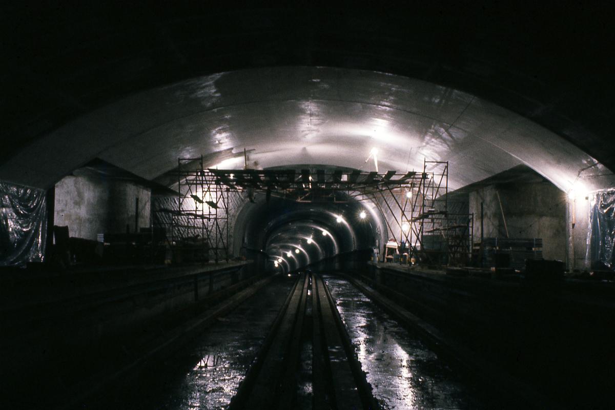
Station Laurier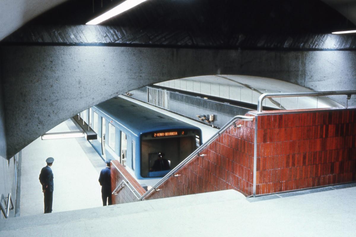
Station Laurier
Station Laurier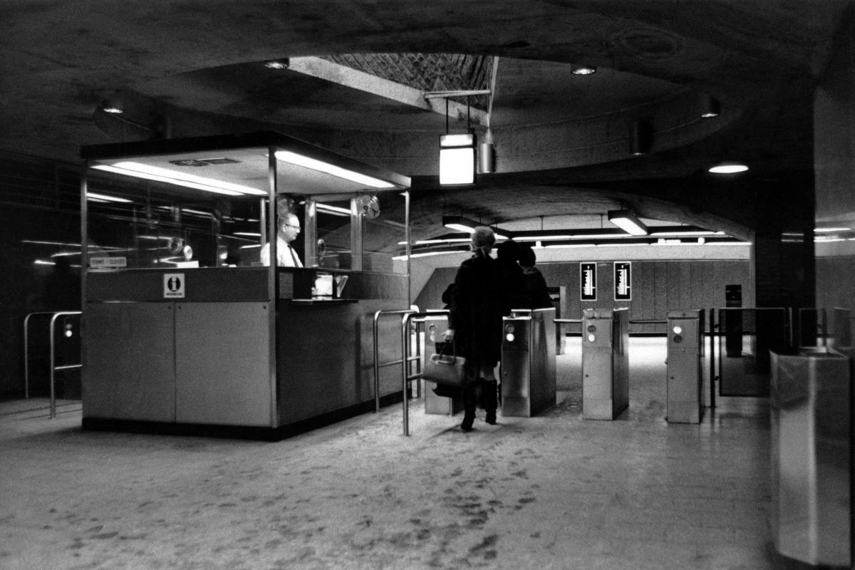
Station Laurier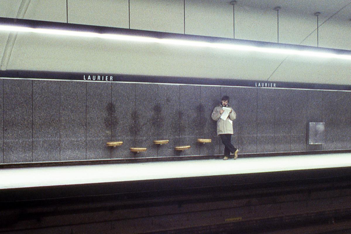
Station Laurier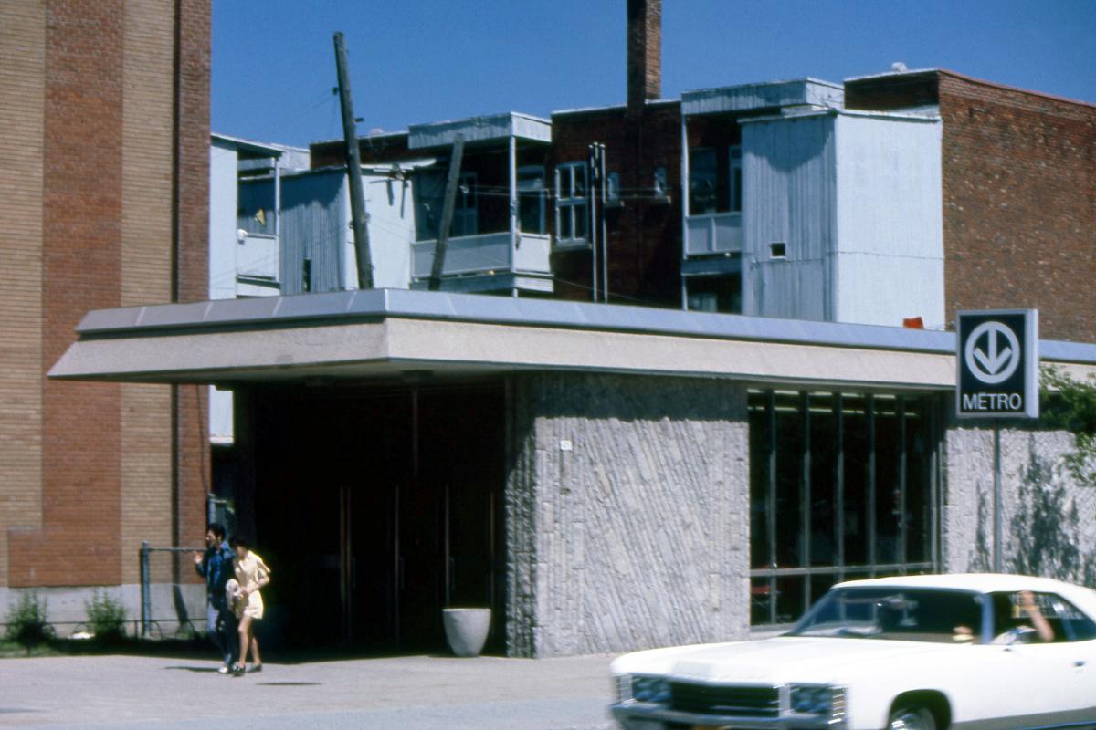
Station Laurier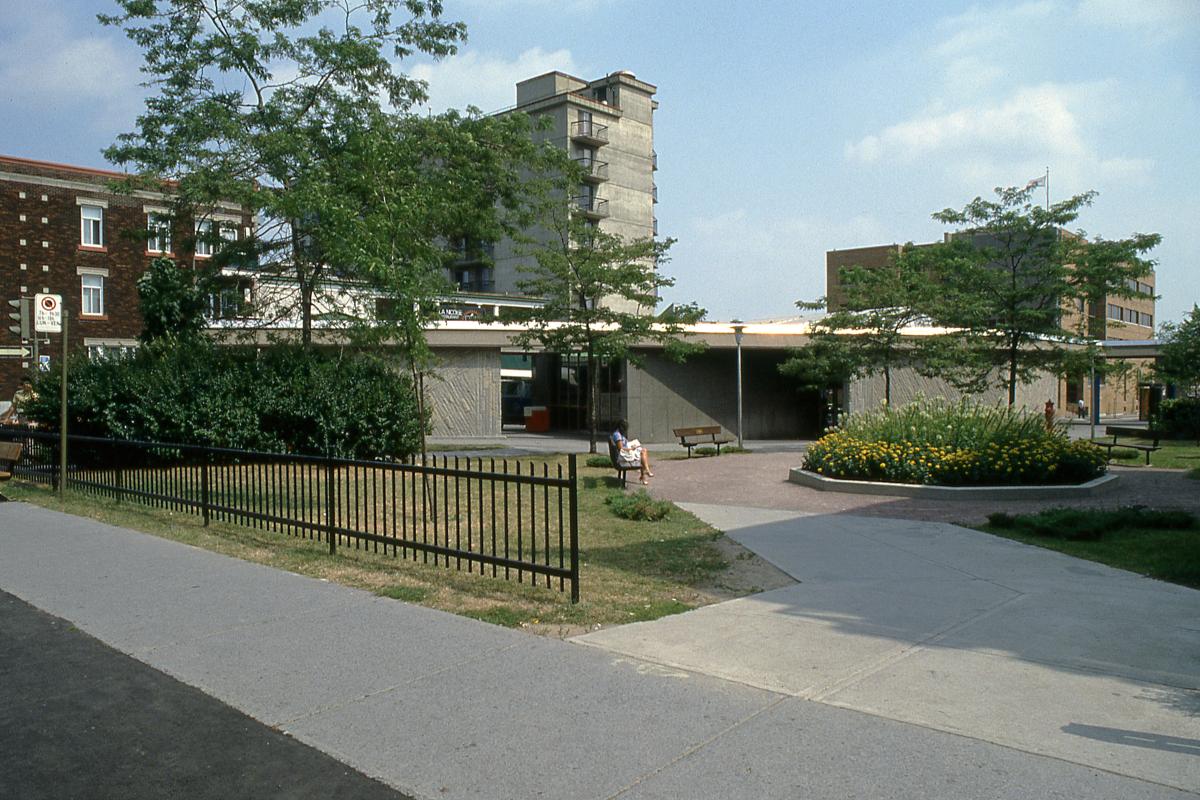
Station Laurier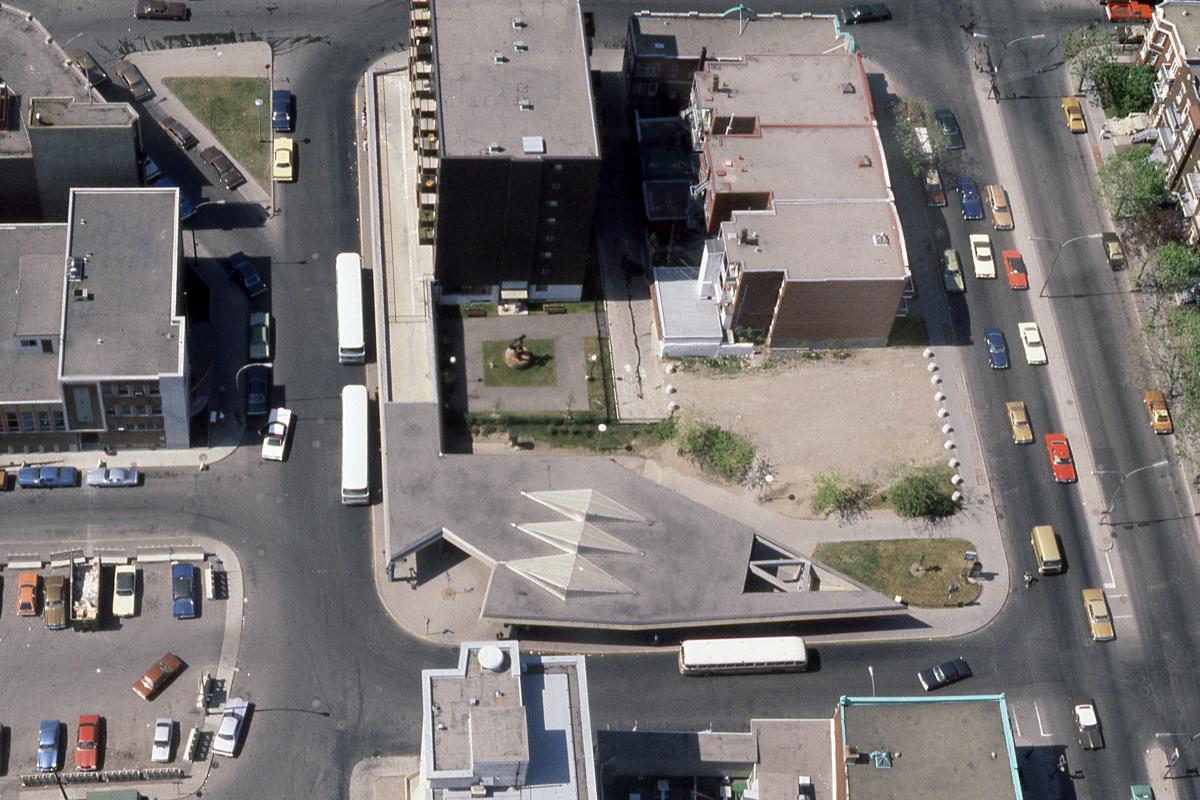
Station Laurier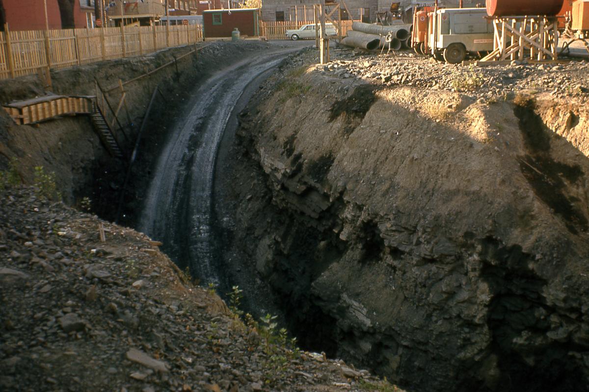
Station Mont-Royal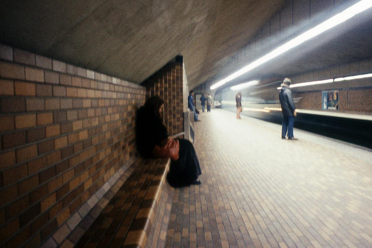
Station Mont-Royal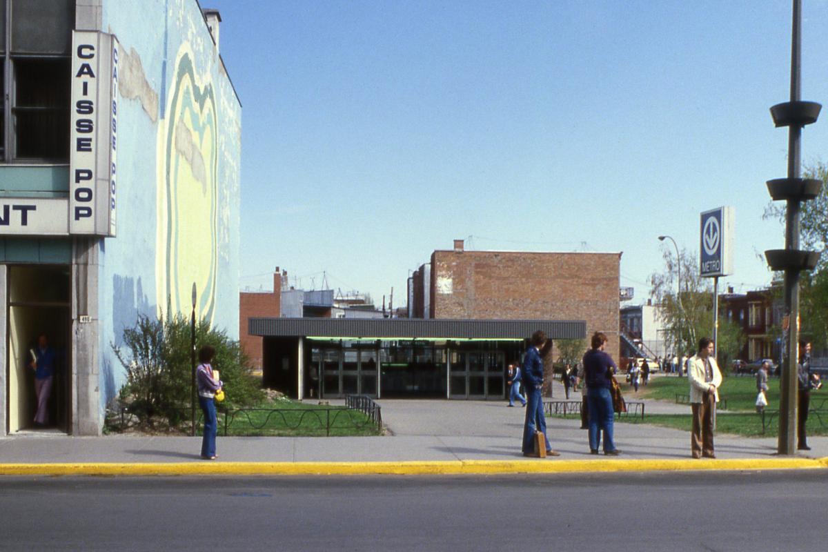
Station Mont-Royal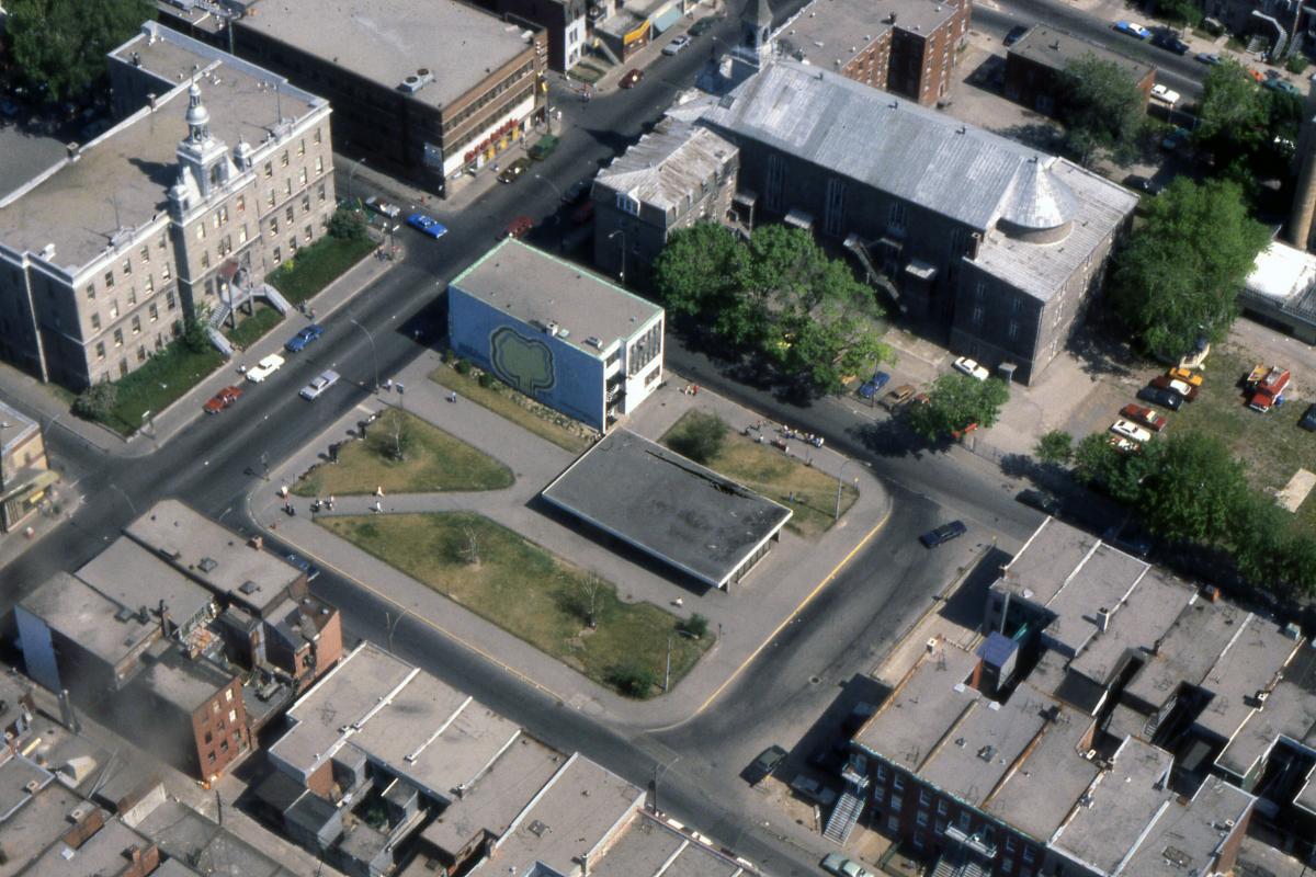
Station Mont-Royal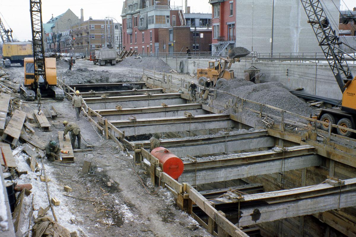
Station Sherbrooke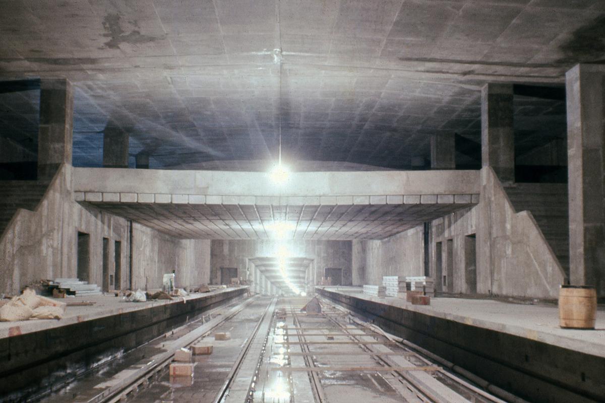
Station Sherbrooke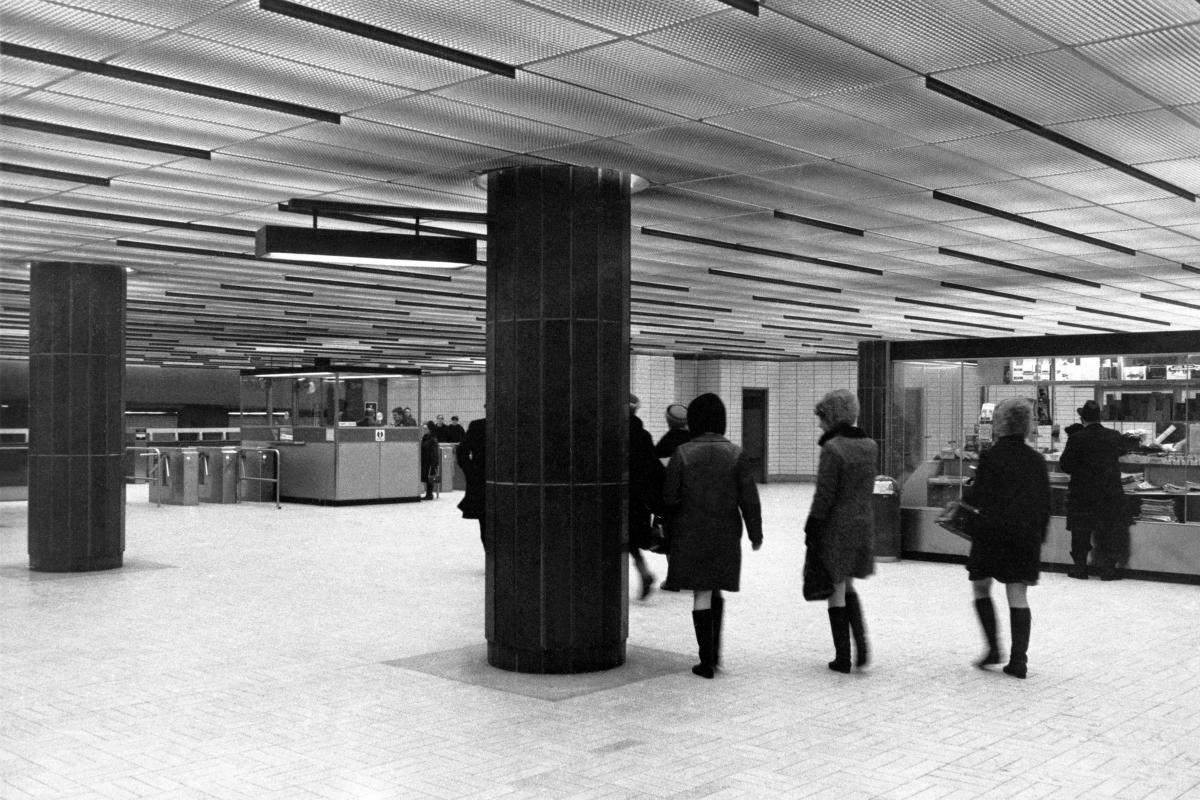
Station Sherbrooke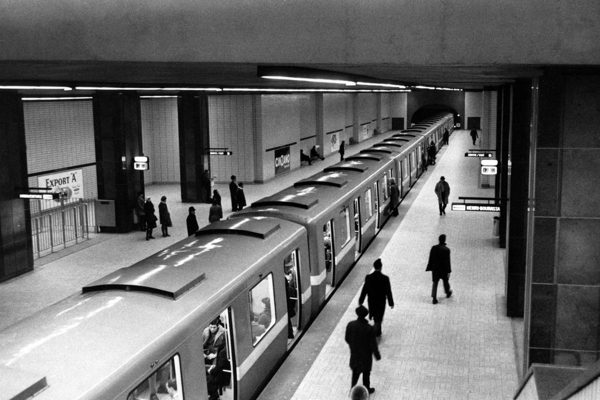
Station Sherbrooke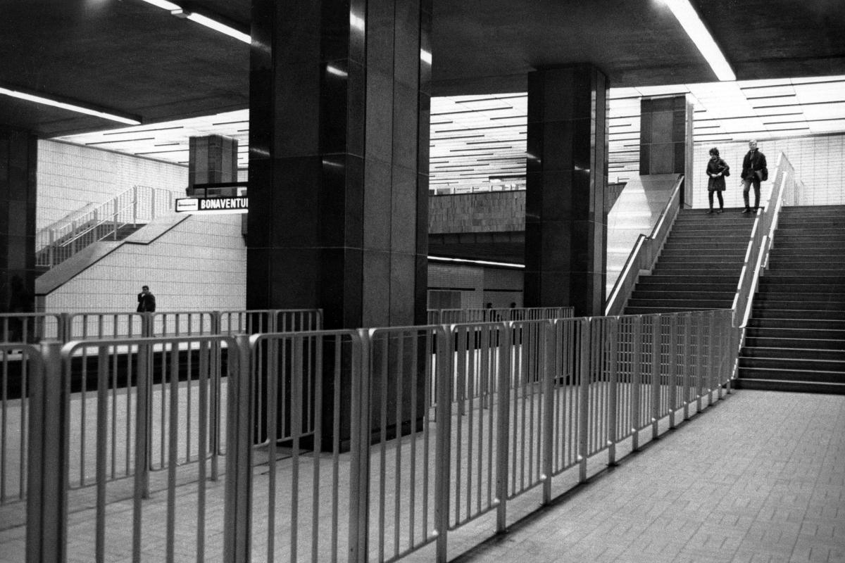
Station Sherbrooke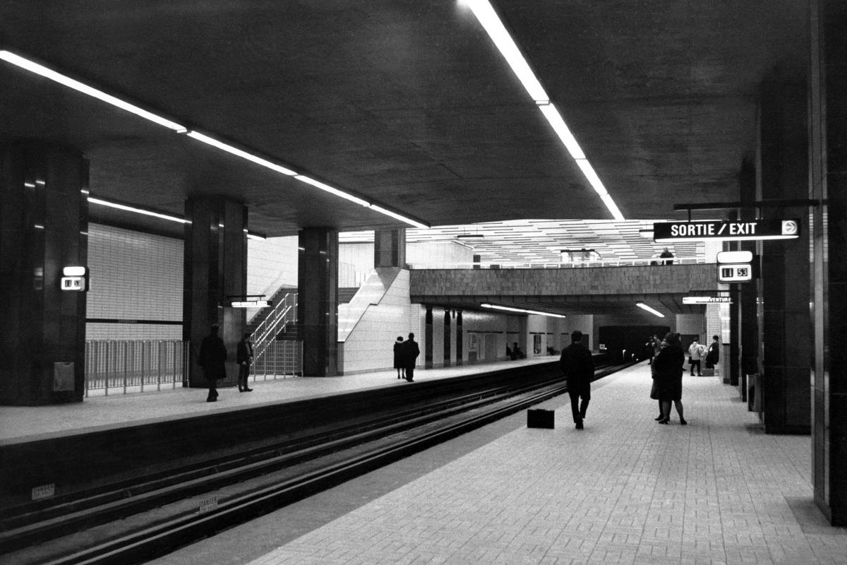
Station Sherbrooke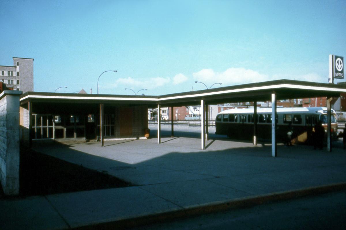
Station Sherbrooke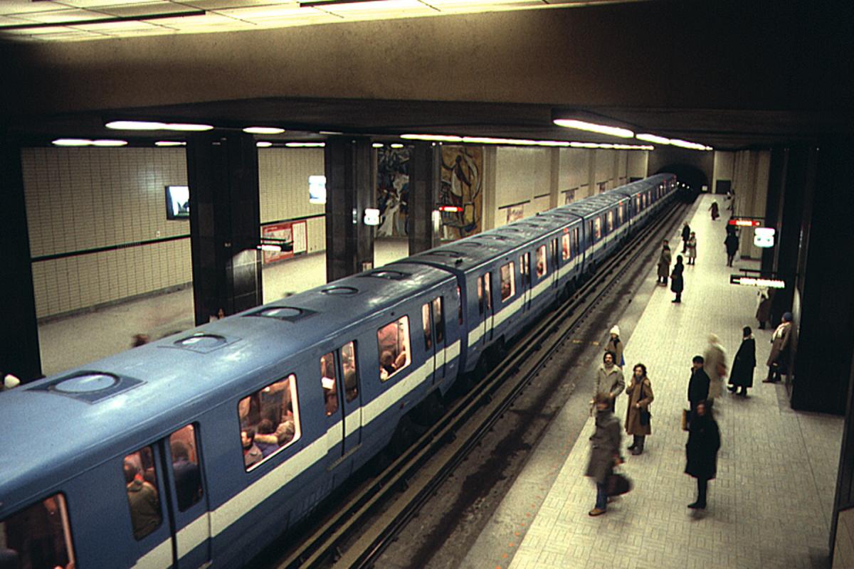
Station Sherbrooke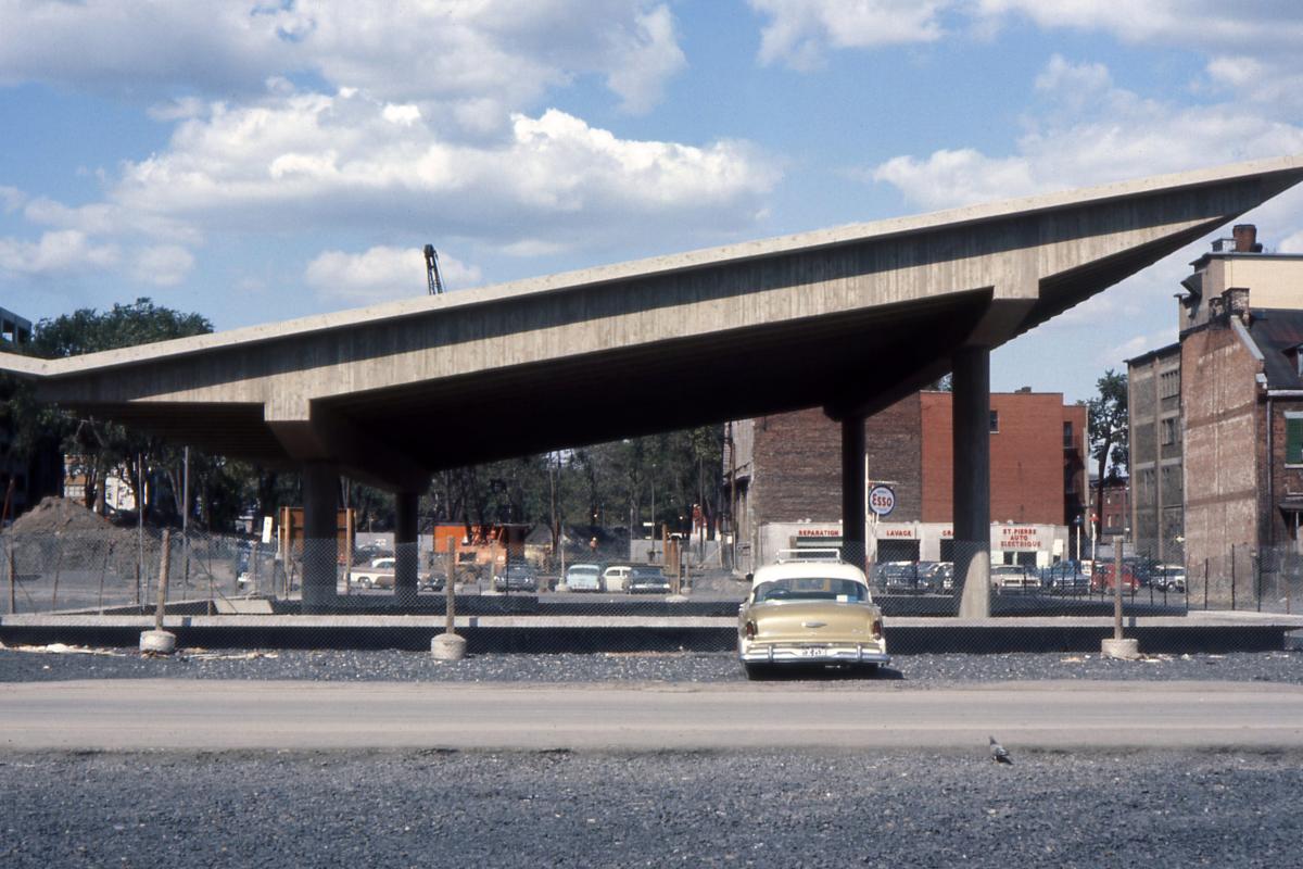
Station Champ-de-Mars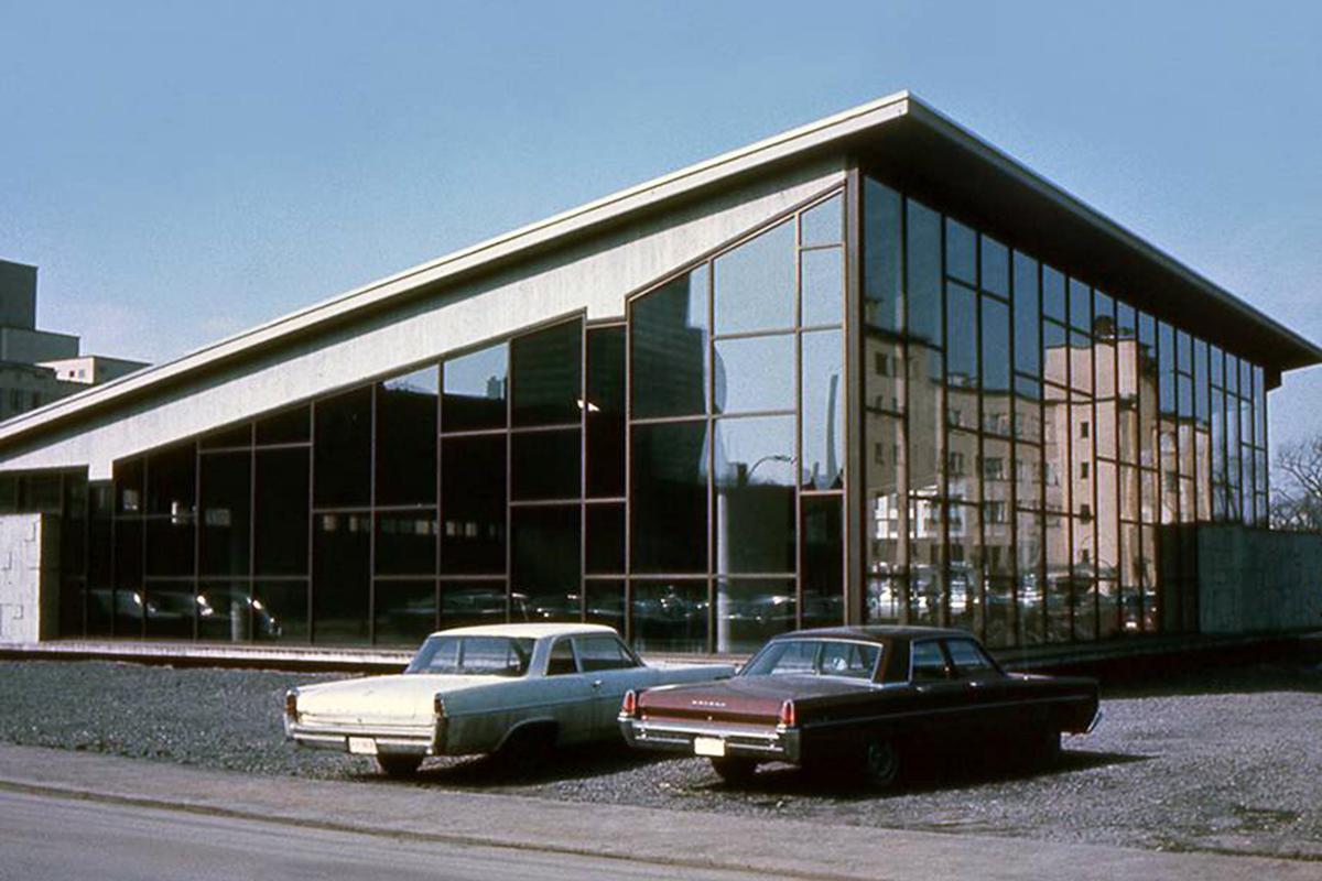
Station Champ-de-Mars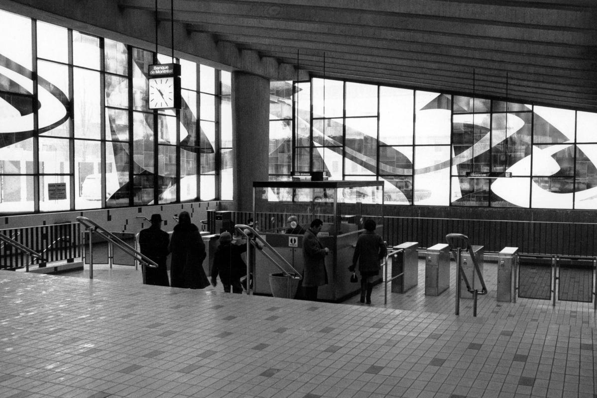
Station Champ-de-Mars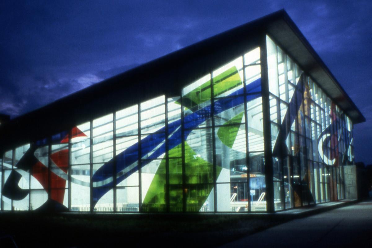
Station Champ-de-Mars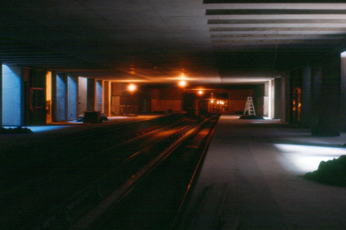
Station Place-d'Armes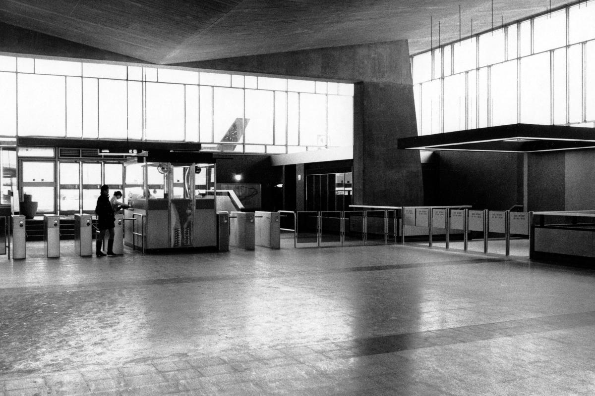
Station Place-d'Armes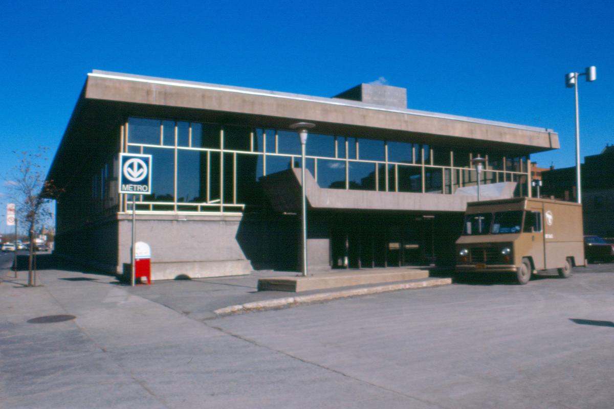
Station Place-d'Armes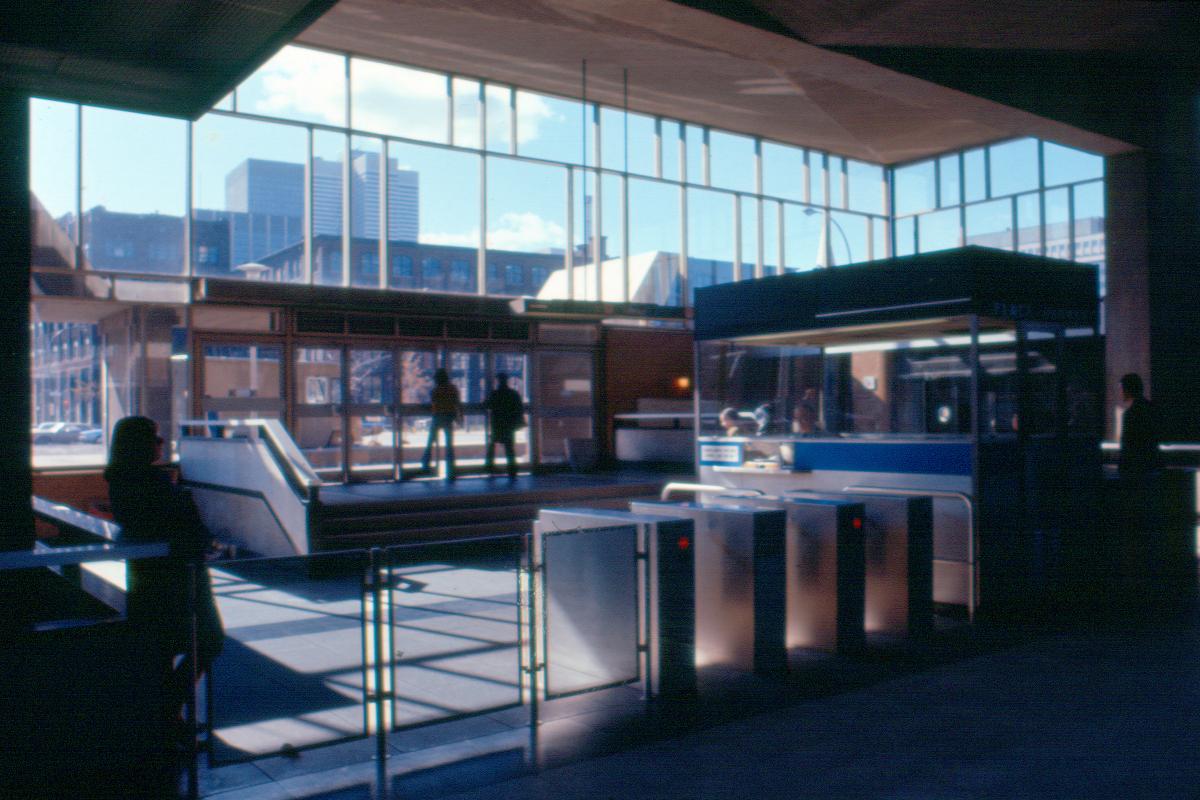
Station Place-d'Armes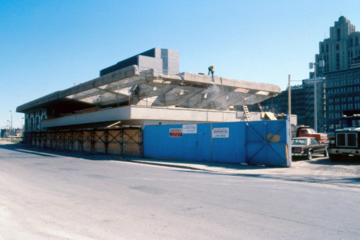
Station Place-d'Armes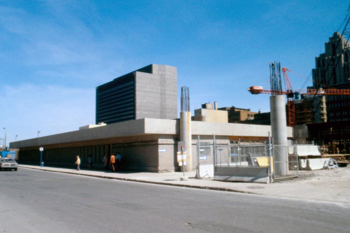
Station Place-d'Armes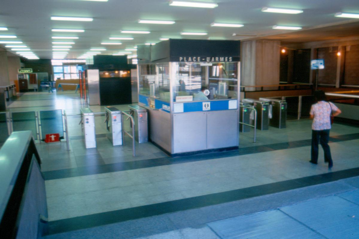
Station Place-d'Armes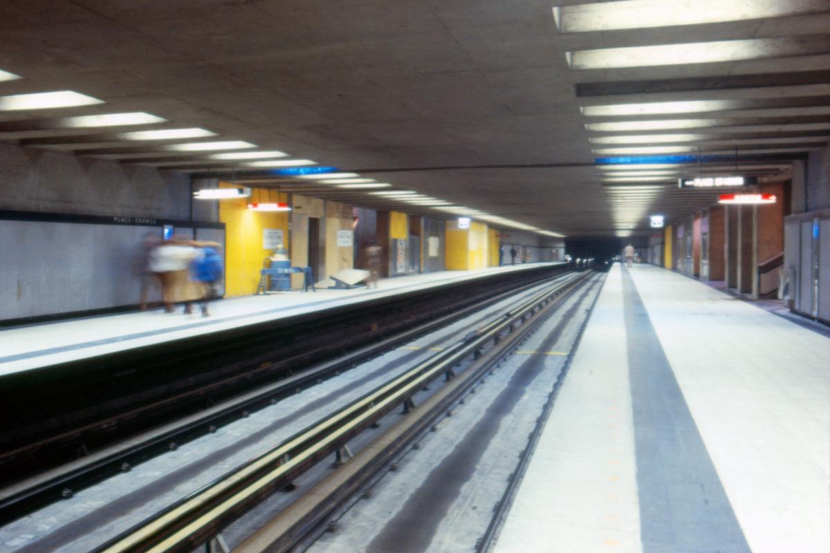
Station Place-d'Armes
Station Place-d'Armes
Station Place-d'Armes
Station Place-d'Armes
Station Place-d'Armes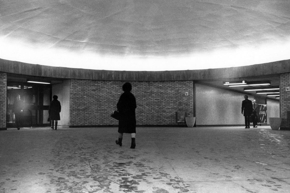
Station Square-Victoria (Square-Victoria–OACI)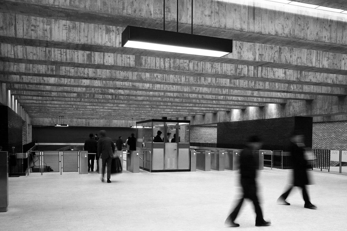
Station Square-Victoria (Square-Victoria–OACI)
Station Square-Victoria (Square-Victoria–OACI)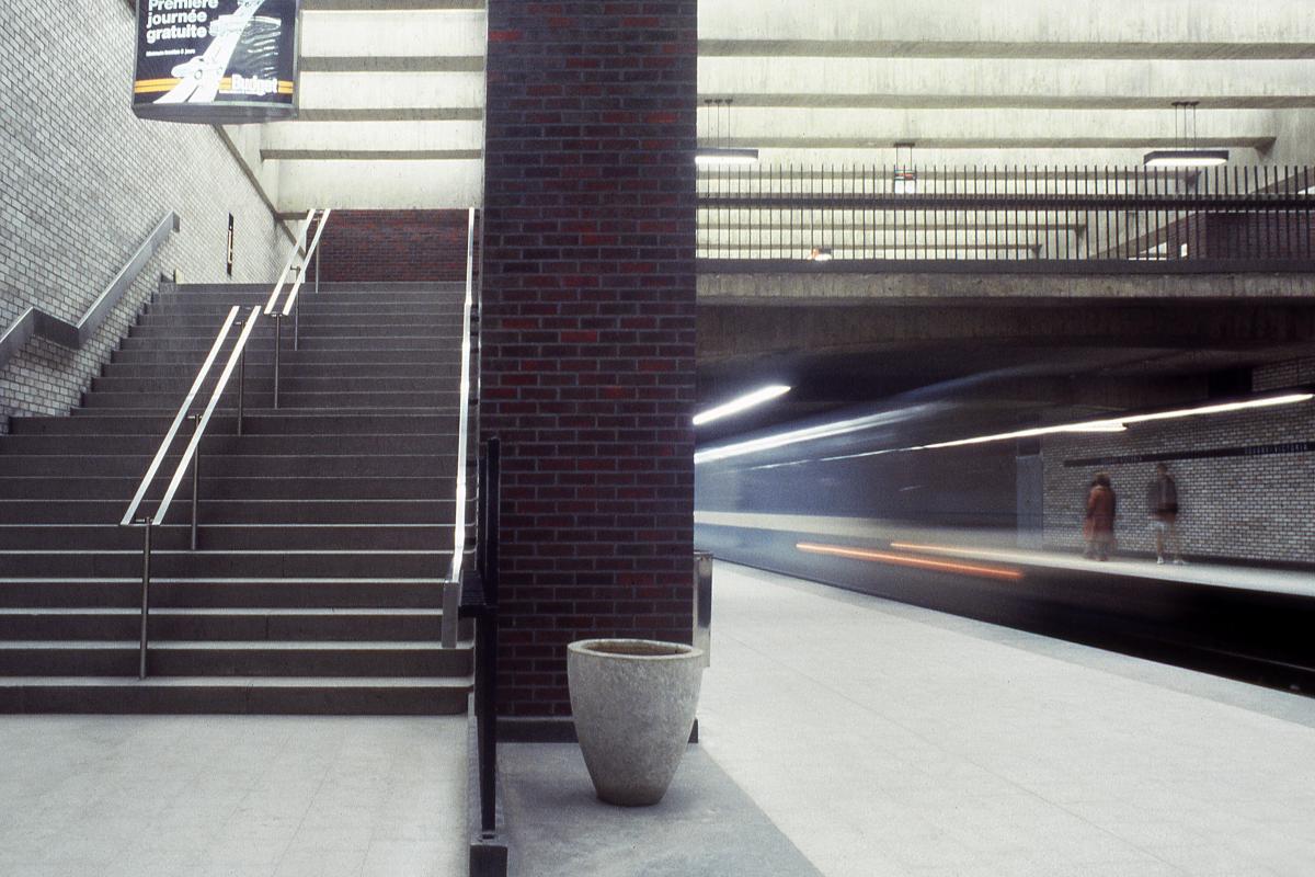
Station Square-Victoria (Square-Victoria–OACI)
Station Square-Victoria (Square-Victoria–OACI)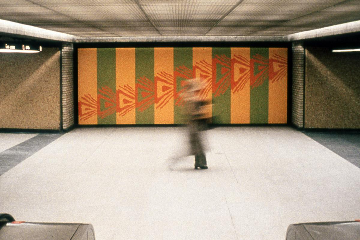
Station Square-Victoria (Square-Victoria–OACI)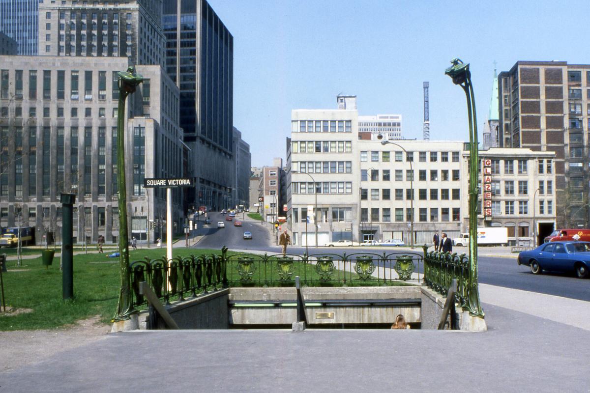
Station Square-Victoria (Square-Victoria–OACI)
Station Square-Victoria (Square-Victoria–OACI)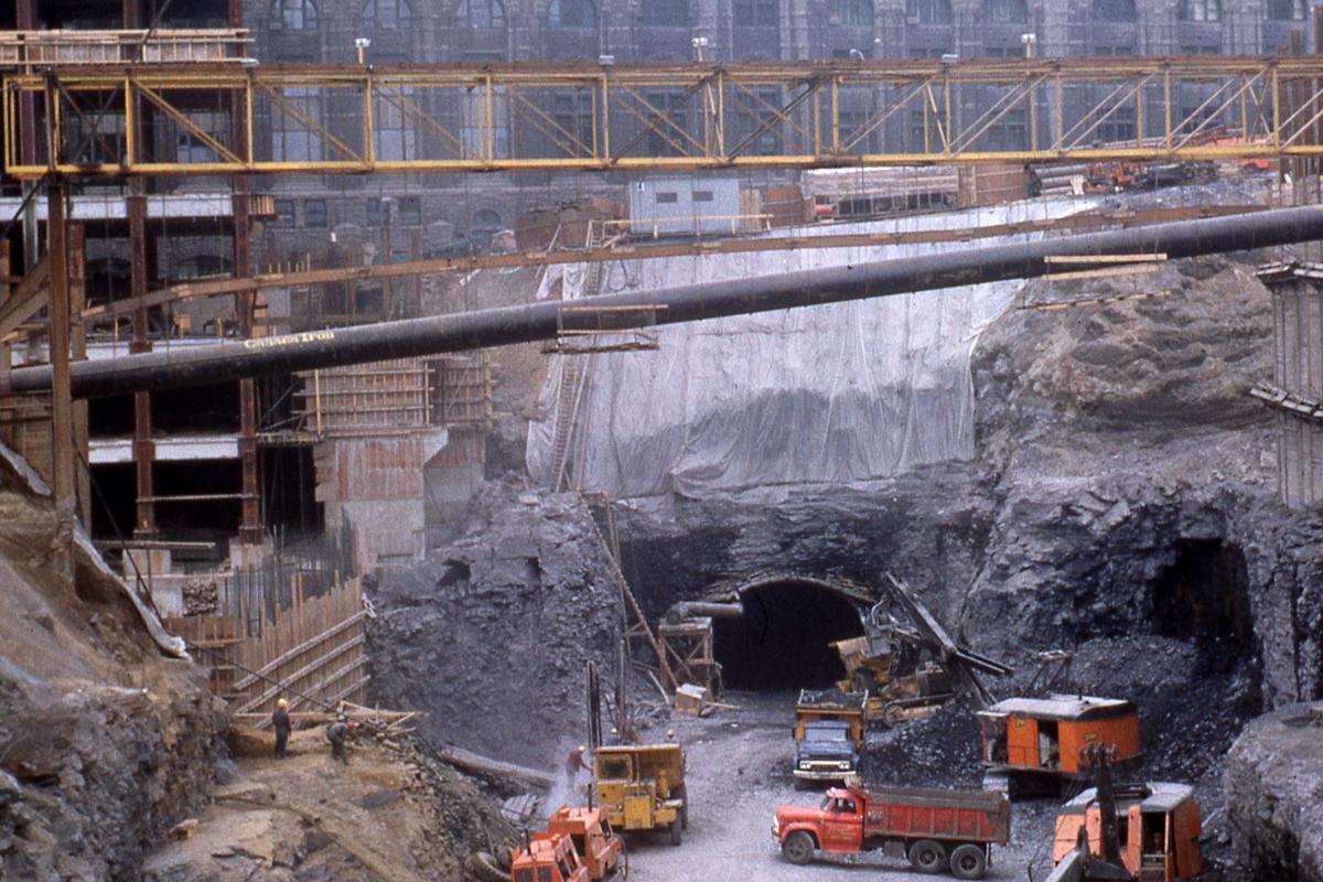
Station Bonaventure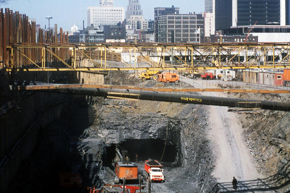
Station Bonaventure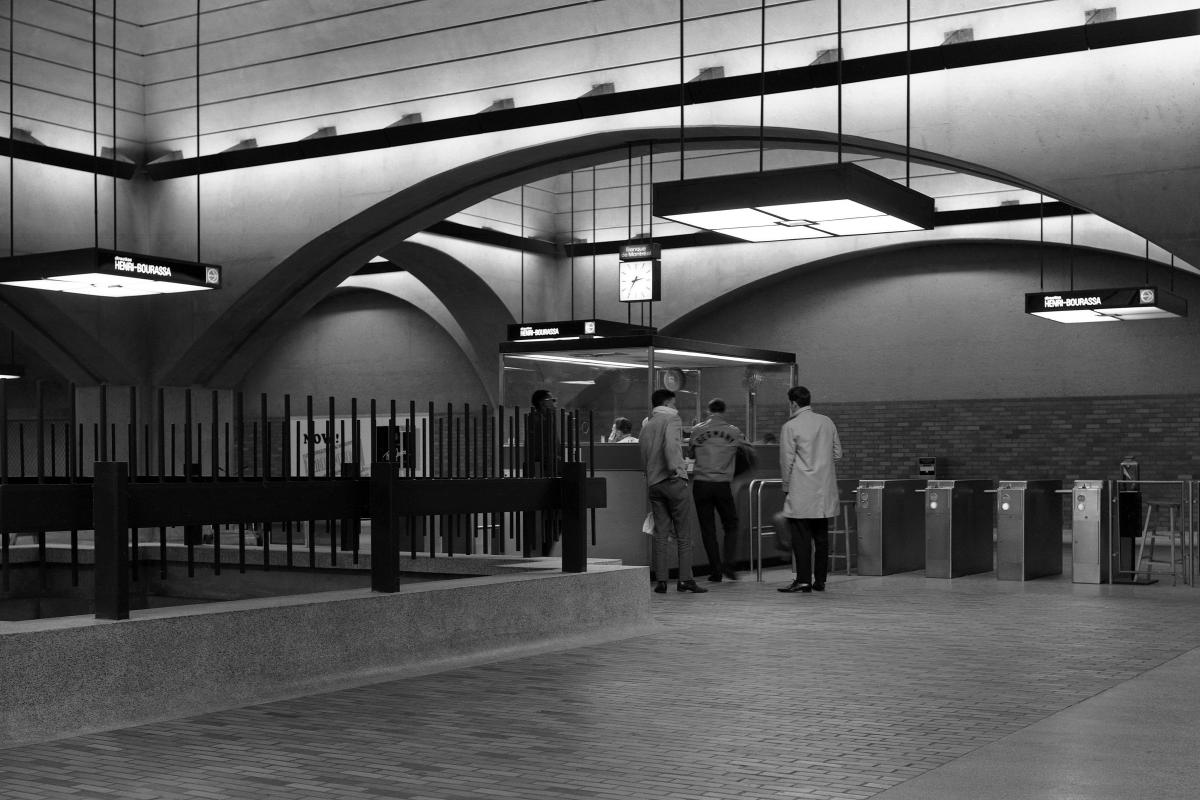
Station Bonaventure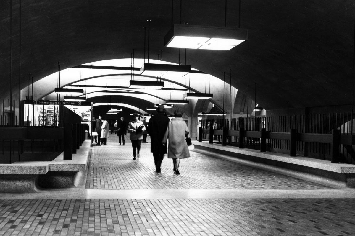
Station Bonaventure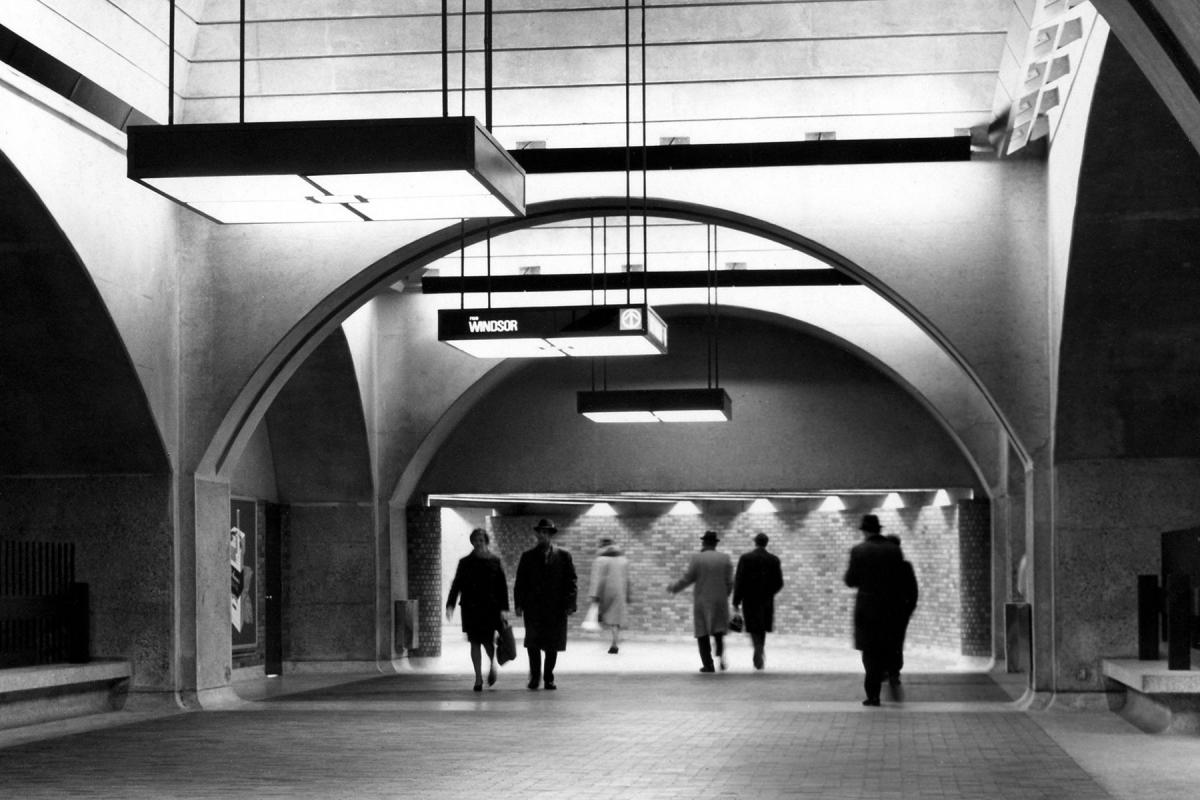
Station Bonaventure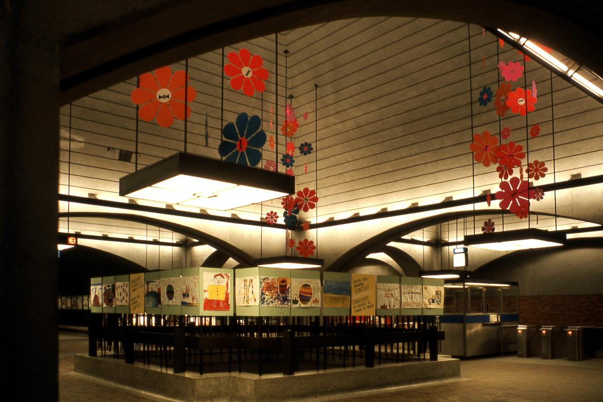
Station Bonaventure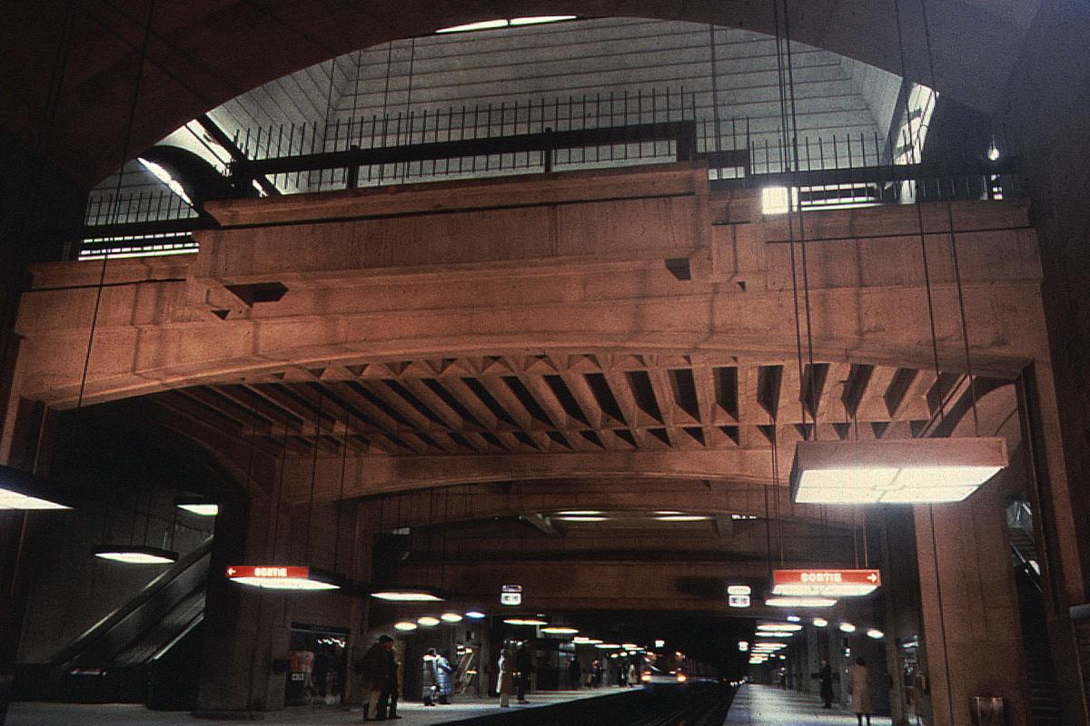
Station Bonaventure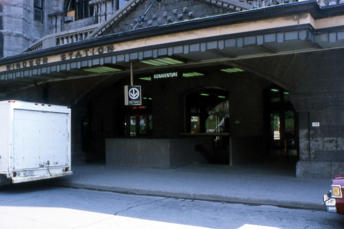
Station Bonaventure
Photos: Archives de la STM
Initial network, line 4 (yellow)
Stations: Île-Sainte-Hélène (Jean-Drapeau), Longueuil (Longueuil–Université-de-Sherbrooke)
Station Île-Sainte-Hélène (Jean-Drapeau)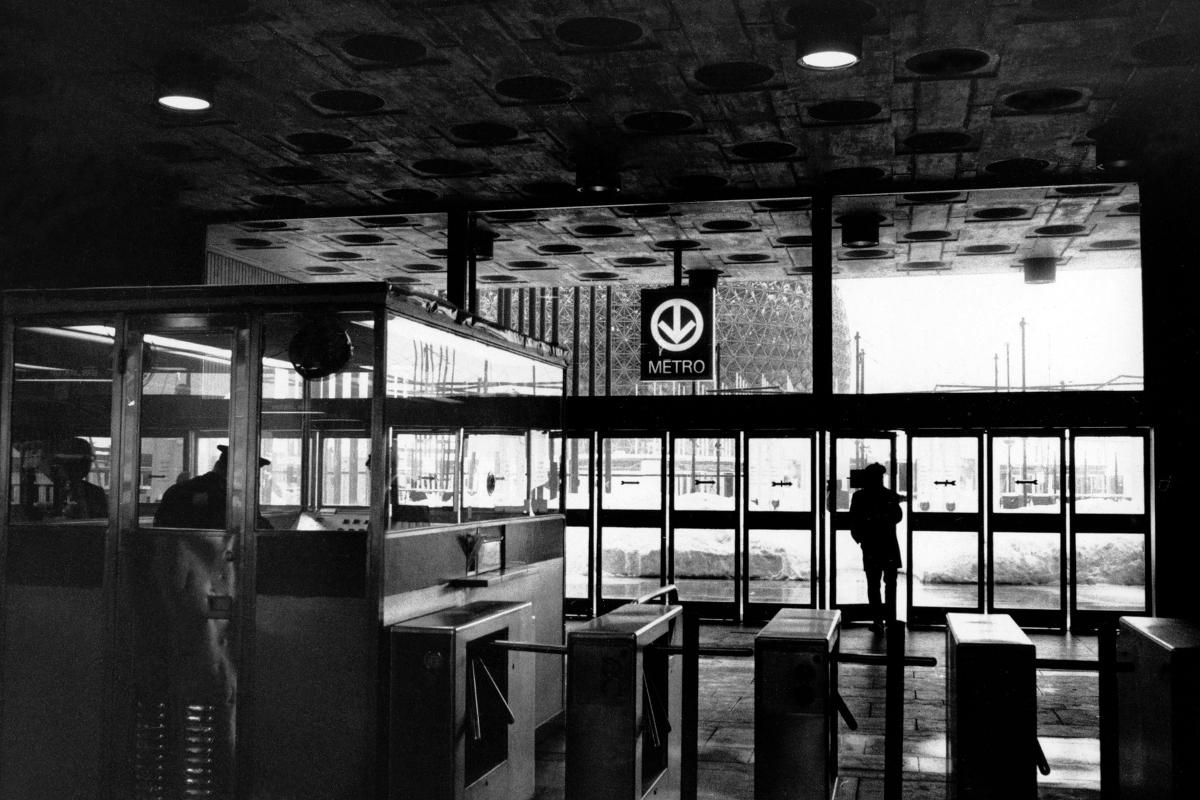
Station Île-Sainte-Hélène (Jean-Drapeau)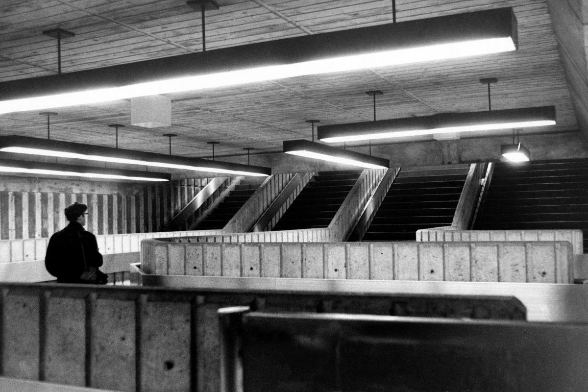
Station Île-Sainte-Hélène (Jean-Drapeau)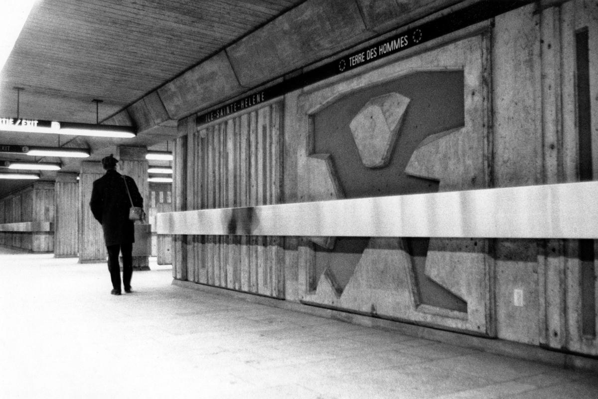
Station Île-Sainte-Hélène (Jean-Drapeau)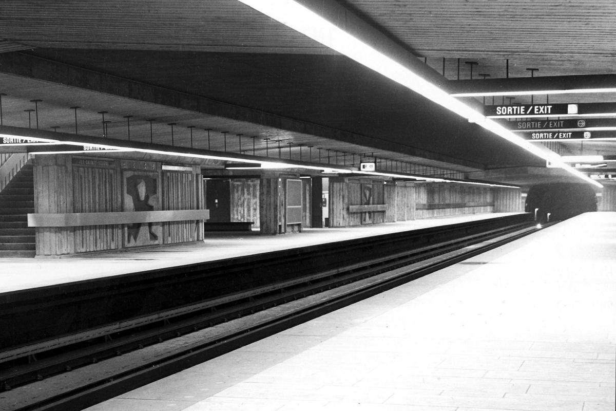
Station Île-Sainte-Hélène (Jean-Drapeau)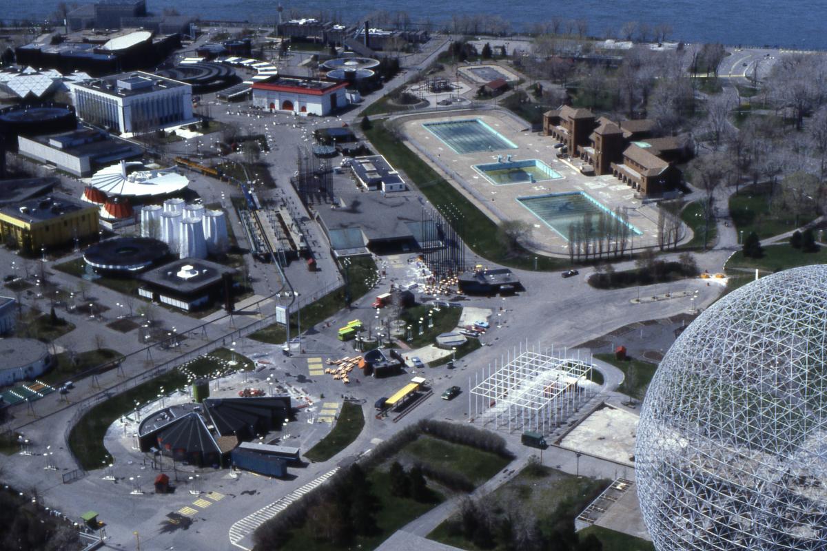
Station Île-Sainte-Hélène (Jean-Drapeau)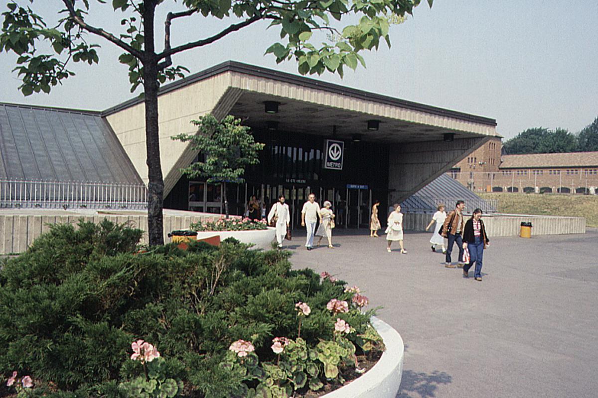
Station Île-Sainte-Hélène (Jean-Drapeau)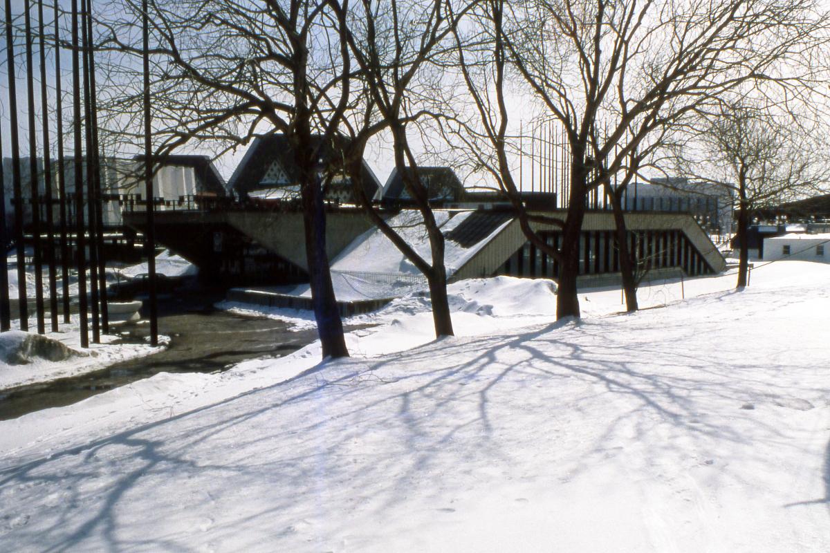
Station Île-Sainte-Hélène (Jean-Drapeau)
Station Longueuil (Longueuil–Université-de-Sherbrooke)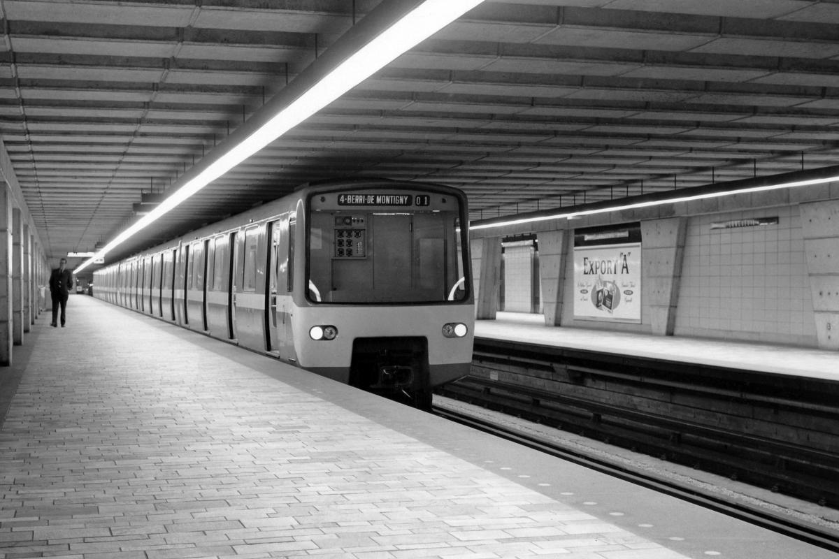
Station Longueuil (Longueuil–Université-de-Sherbrooke)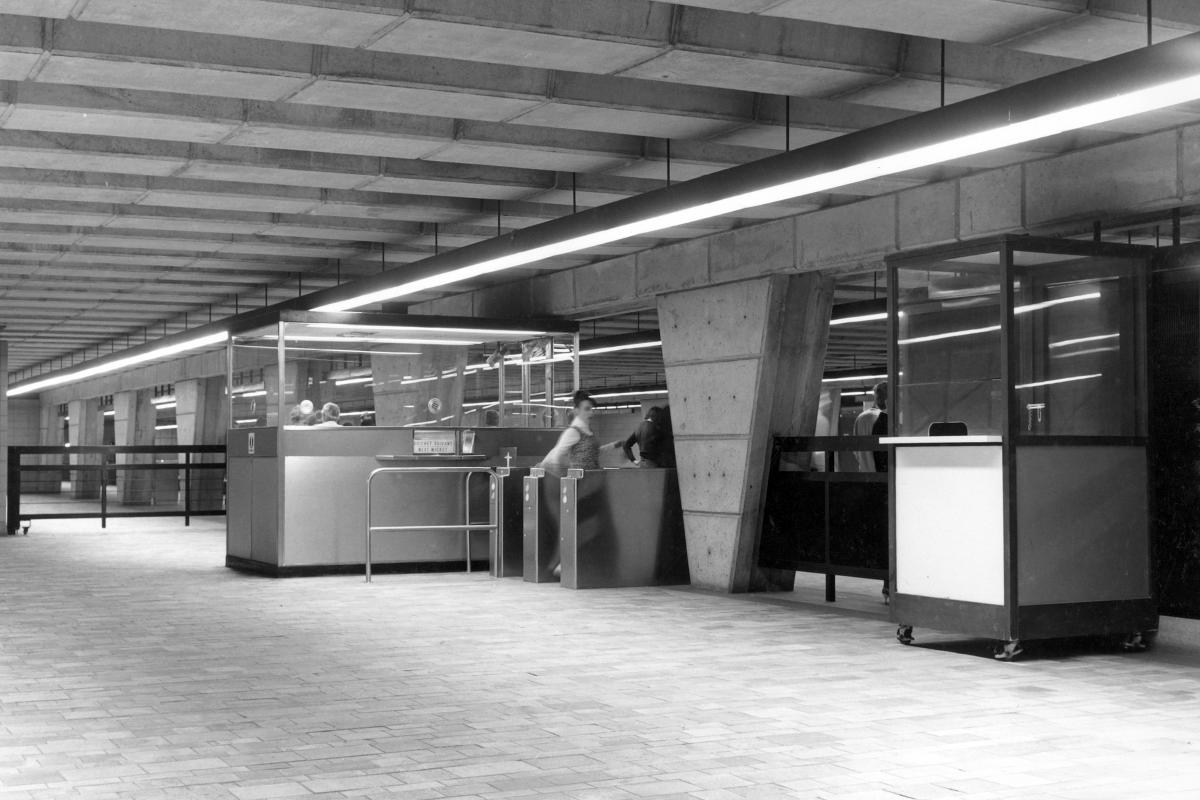
Station Longueuil (Longueuil–Université-de-Sherbrooke)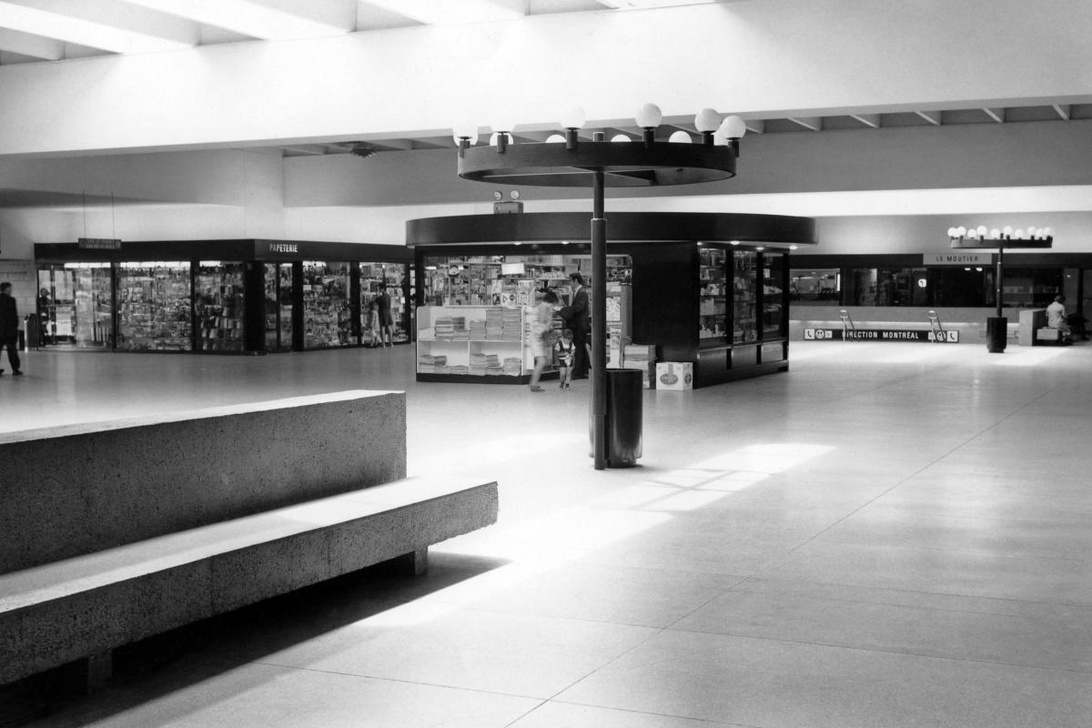
Station Longueuil (Longueuil–Université-de-Sherbrooke)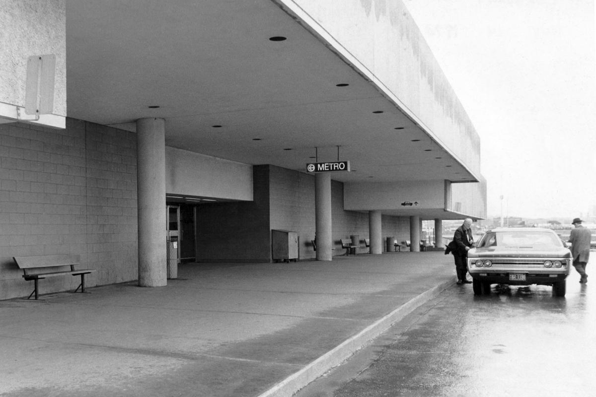
Station Longueuil (Longueuil–Université-de-Sherbrooke)
Station Longueuil (Longueuil–Université-de-Sherbrooke)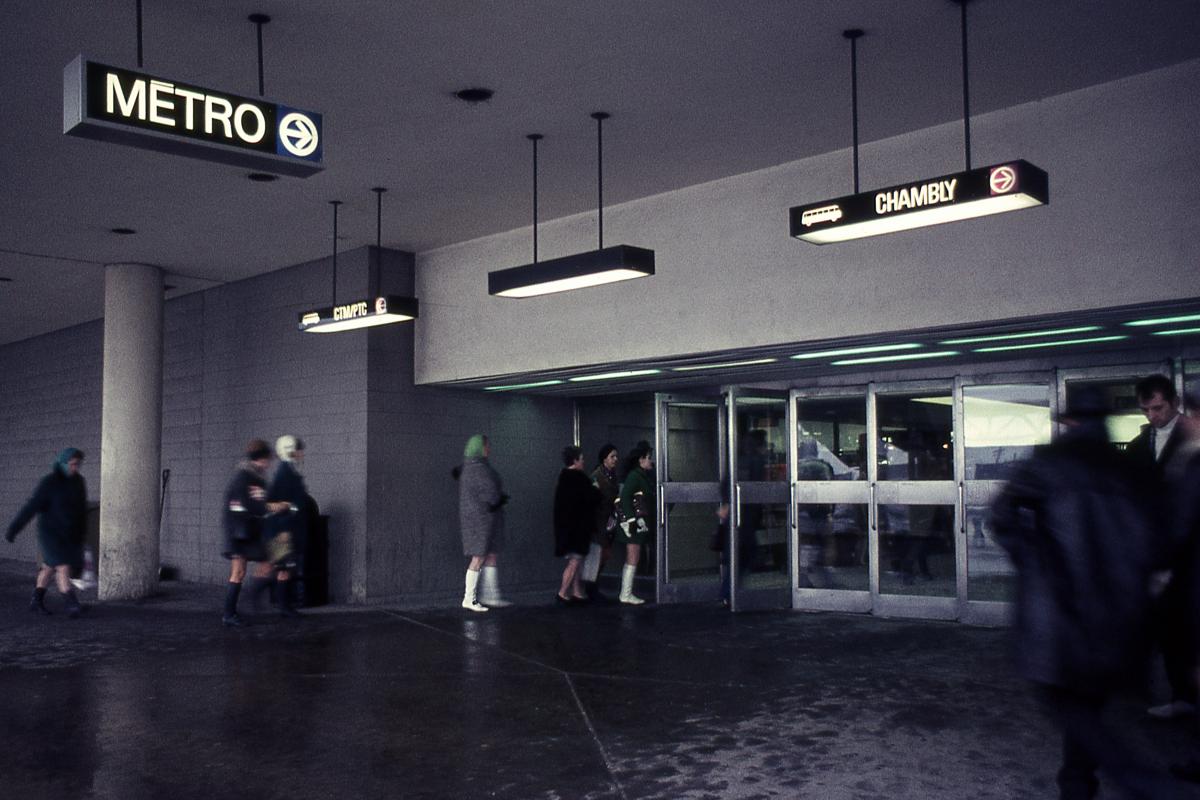
Station Longueuil (Longueuil–Université-de-Sherbrooke)
Station Longueuil (Longueuil–Université-de-Sherbrooke)
Station Longueuil (Longueuil–Université-de-Sherbrooke)
Station Longueuil (Longueuil–Université-de-Sherbrooke)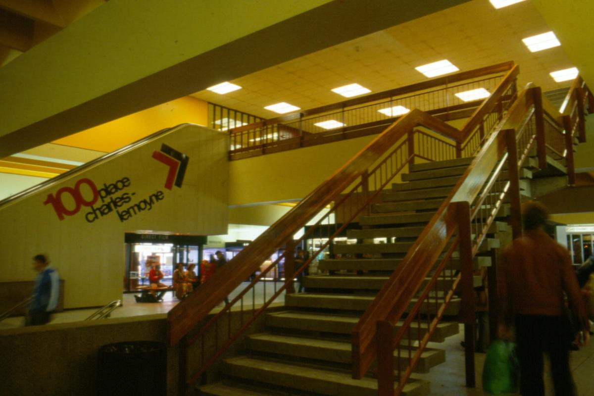
Station Longueuil (Longueuil–Université-de-Sherbrooke)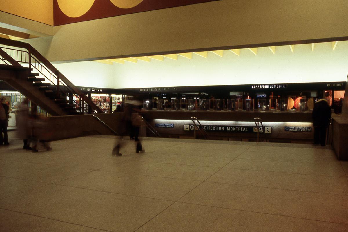
Station Longueuil (Longueuil–Université-de-Sherbrooke)
Photos: Archives de la STM
Initial network, station Berri-De Montigny (Berri-UQAM)
Station Berri-De Montigny (Berri-UQAM)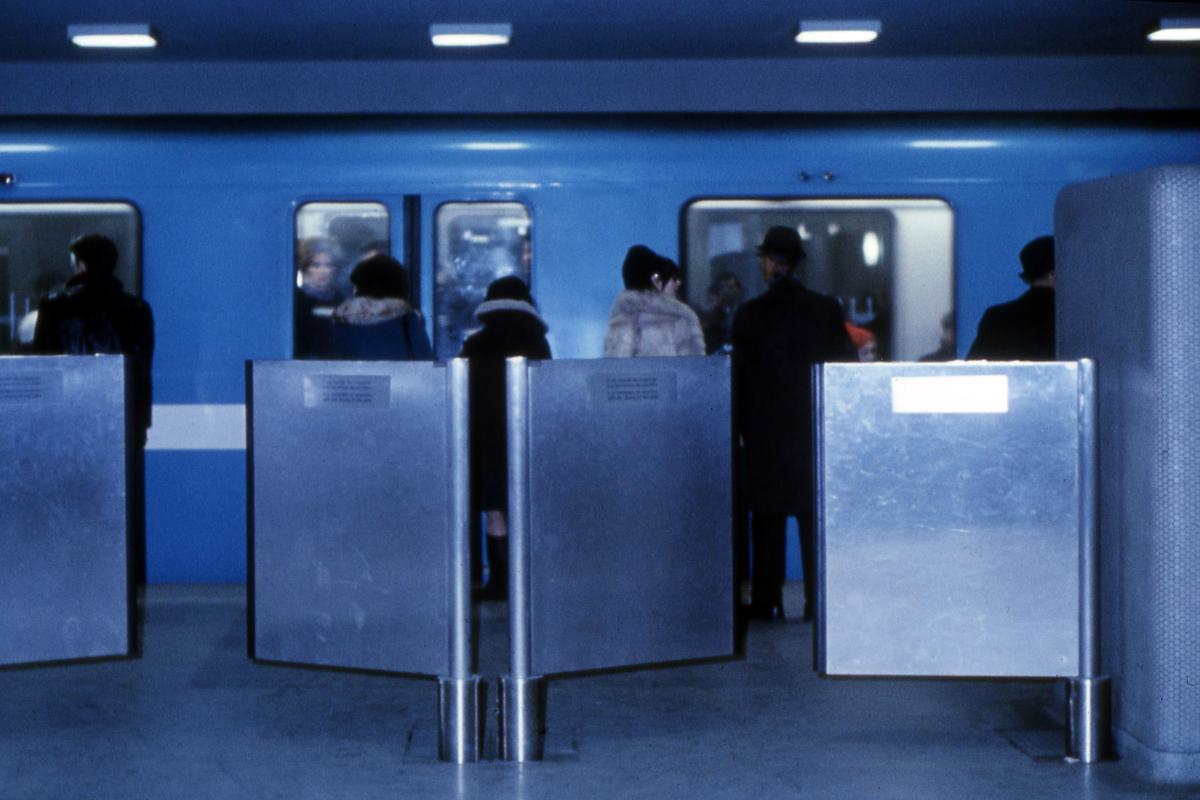
Station Berri-De Montigny (Berri-UQAM)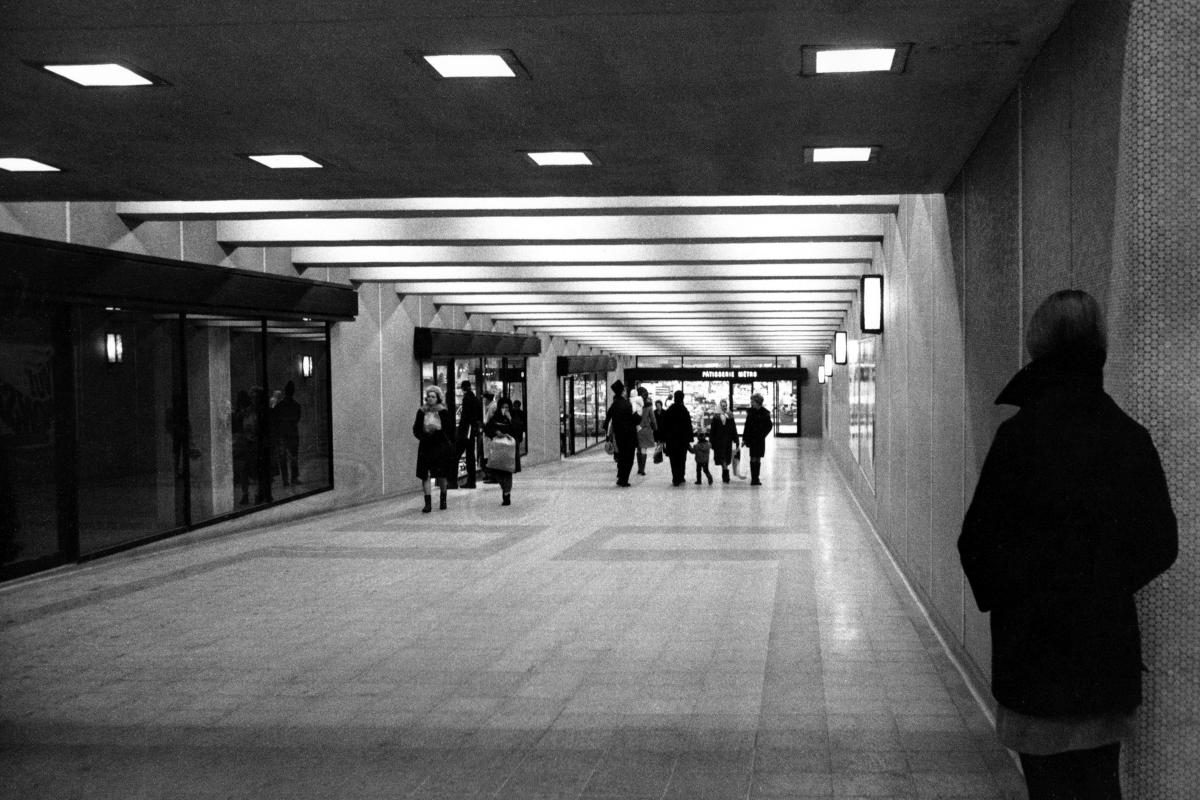
Station Berri-De Montigny (Berri-UQAM)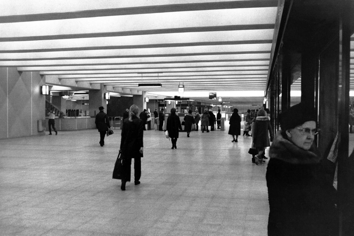
Station Berri-De Montigny (Berri-UQAM)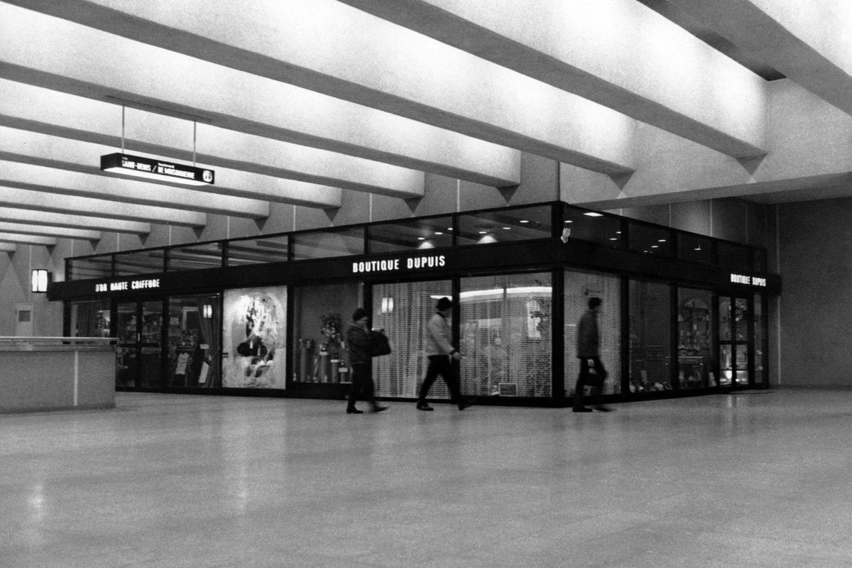
Station Berri-De Montigny (Berri-UQAM)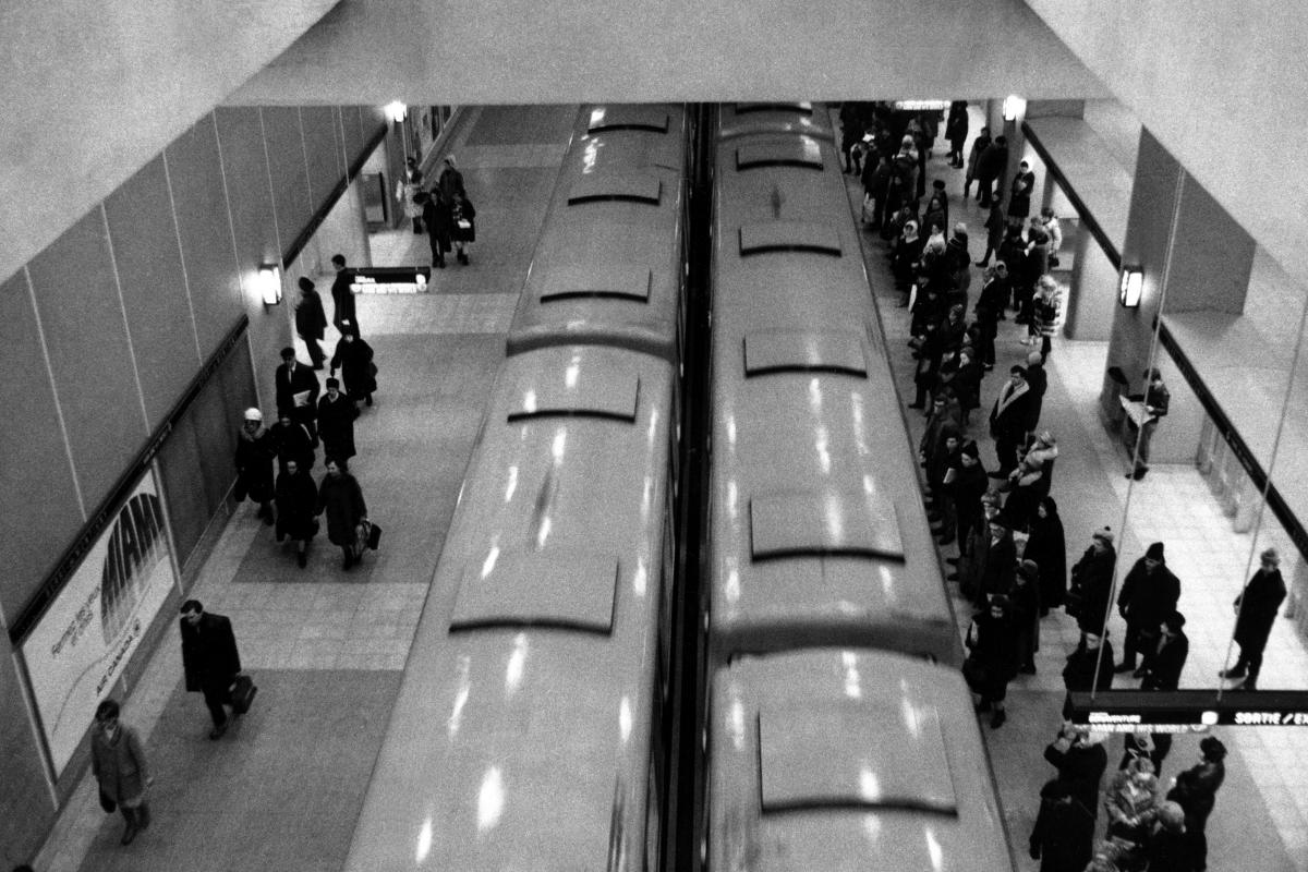
Station Berri-De Montigny (Berri-UQAM)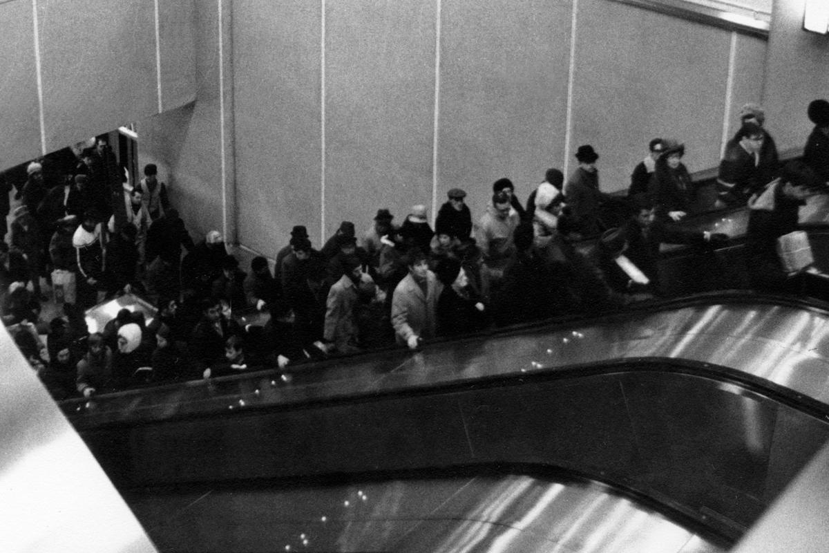
Station Berri-De Montigny (Berri-UQAM)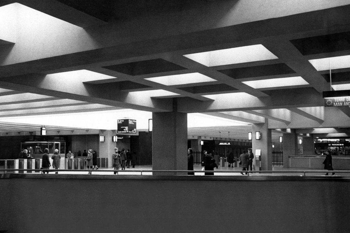
Station Berri-De Montigny (Berri-UQAM)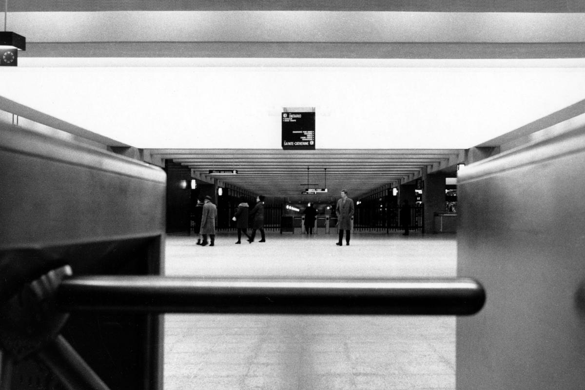
Station Berri-De Montigny (Berri-UQAM)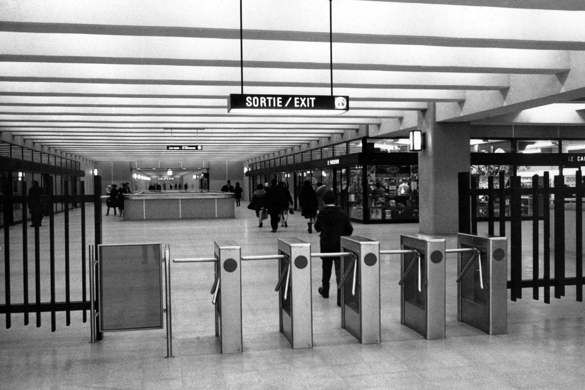
Station Berri-De Montigny (Berri-UQAM)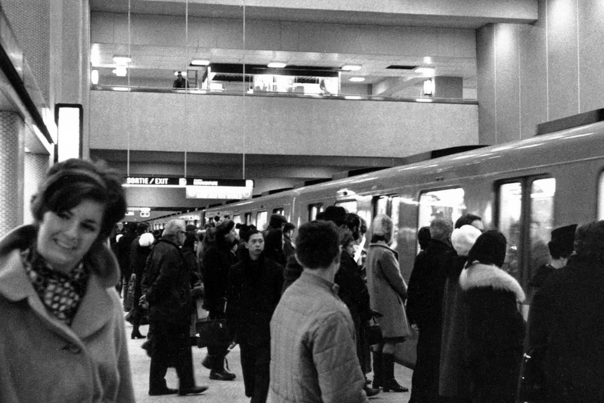
Station Berri-De Montigny (Berri-UQAM)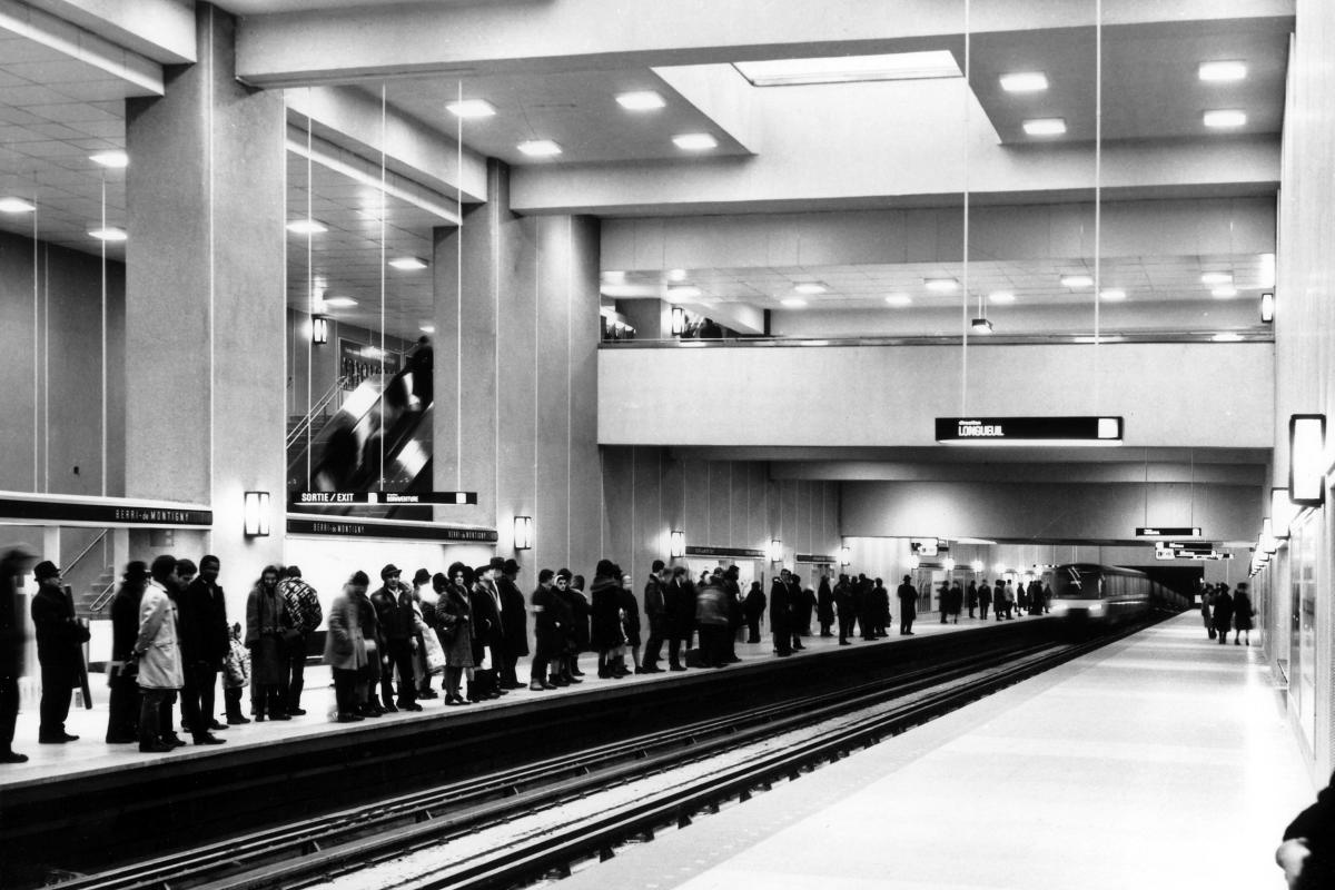
Station Berri-De Montigny (Berri-UQAM)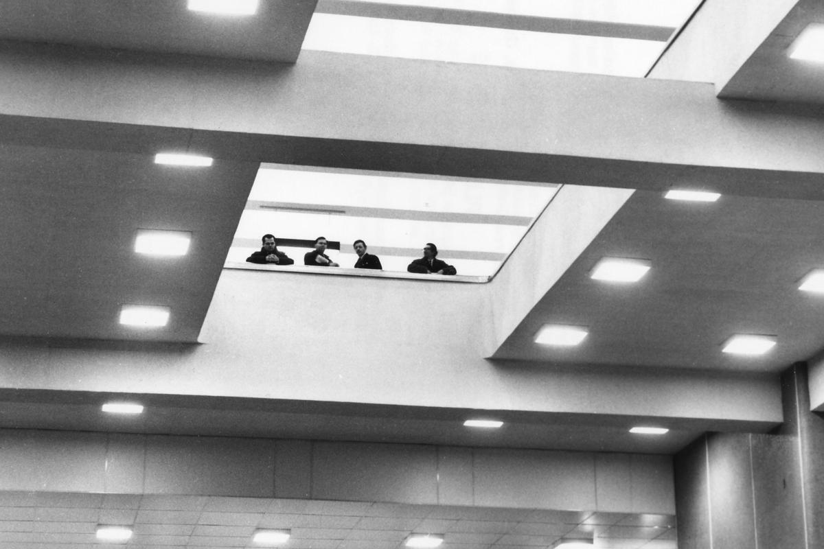
Station Berri-De Montigny (Berri-UQAM)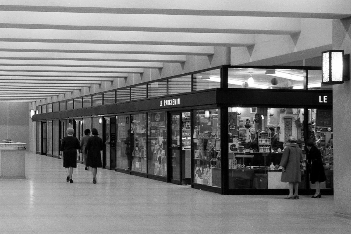
Station Berri-De Montigny (Berri-UQAM)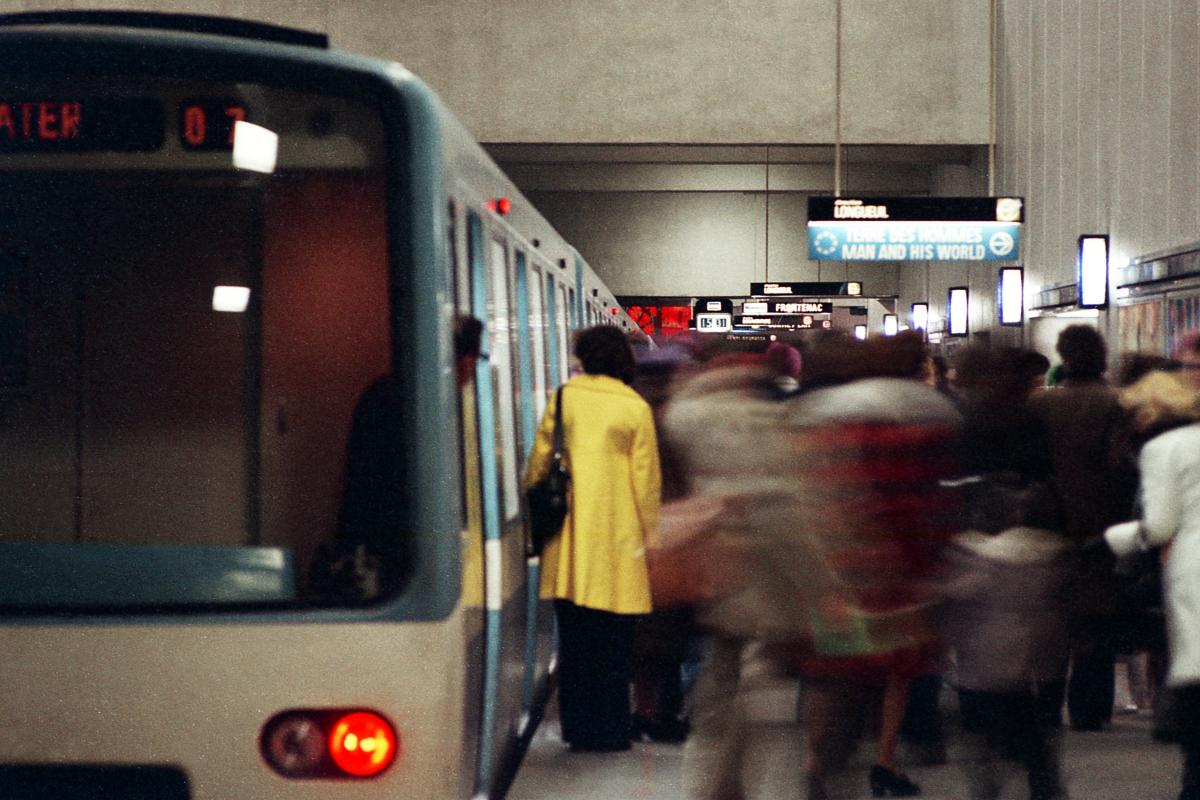
Station Berri-De Montigny (Berri-UQAM)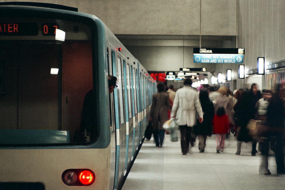
Station Berri-De Montigny (Berri-UQAM)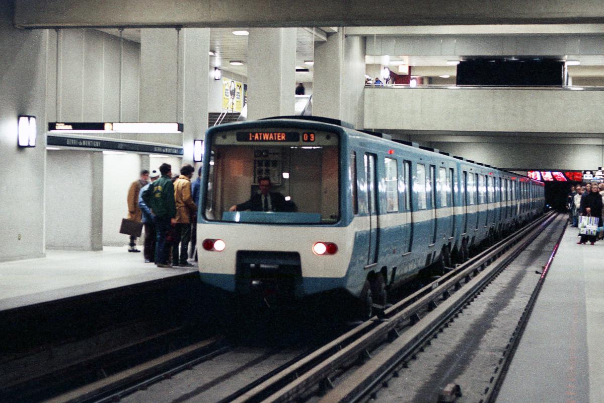
Station Berri-De Montigny (Berri-UQAM)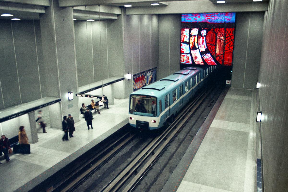
Station Berri-De Montigny (Berri-UQAM)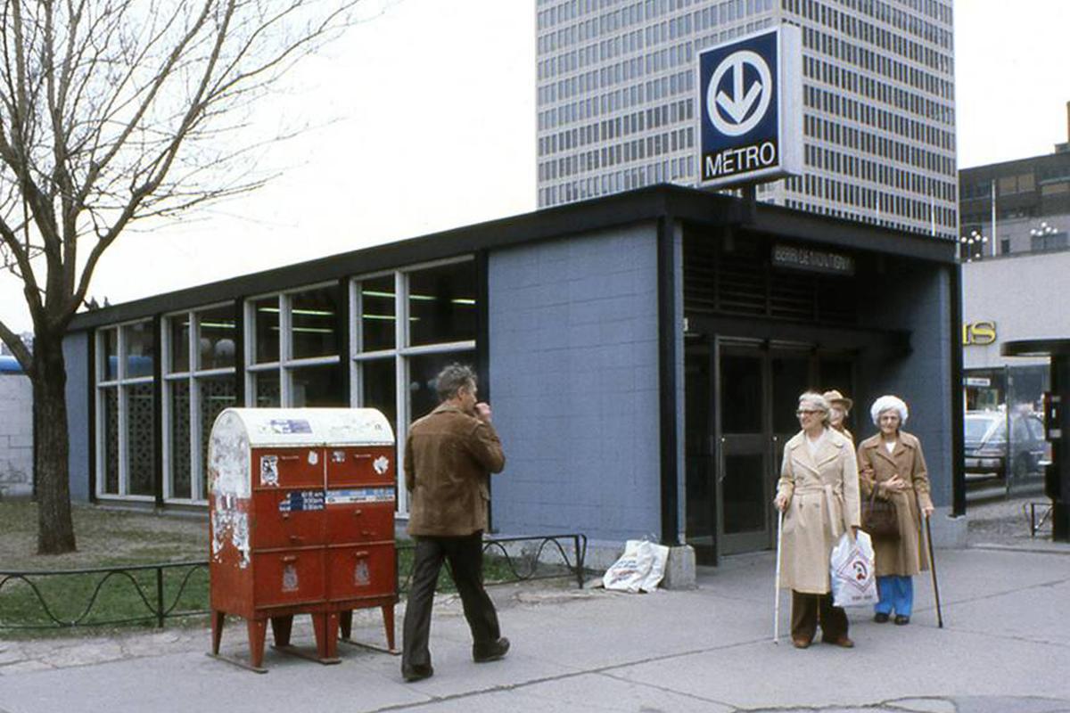
Station Berri-De Montigny (Berri-UQAM)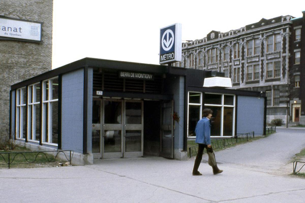
Station Berri-De Montigny (Berri-UQAM)
Station Berri-De Montigny (Berri-UQAM)
Station Berri-De Montigny (Berri-UQAM)
Photos: Archives de la STM