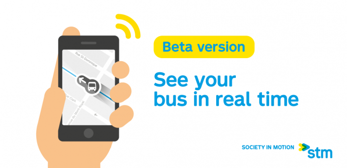
A new function for the iBUS project is being activated today: the geolocation of buses on the map.
A new function for the iBUS project is being activated today: the geolocation of buses on the map. It is now possible to view the location of buses, in real time, on the beta versions of the Internet and mobile sites of the STM, as well as via the Transit and Chrono applications.
This function is an addition to the real time bus schedules available in these beta versions since December.
In the next few weeks, real time schedules will also be displayed on the digital bus shelters of Québecor Média and on the SRB Pie-IX Amos station’s electronic display.
So far, several iBUS project components have been deployed and are already helping improve the transit experience for customers:
- the establishment of the main operations centre makes it possible to regulate bus services in real time, which was not previously possible;
- visual displays and audio messages on board buses inform passengers of upcoming stops and any existing detours;
- the roughly 90 customer information terminals, located at 64 métro station entrances and at 26 busy bus stops, let you view the next departure times of buses running nearby in real time.
Video animation

